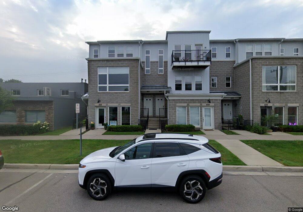
444 Hilton Rd Unit 112 Ferndale, MI 48220
Estimated Value: $247,000 - $275,357
2
Beds
2
Baths
1,369
Sq Ft
$192/Sq Ft
Est. Value
About This Home
This home is located at 444 Hilton Rd Unit 112, Ferndale, MI 48220 and is currently estimated at $262,339, approximately $191 per square foot. 444 Hilton Rd Unit 112 is a home located in Oakland County with nearby schools including Ferndale Lower Elementary Campus, Ferndale Upper Elementary Campus, and Ferndale Middle School.
Ownership History
Date
Name
Owned For
Owner Type
Purchase Details
Closed on
Apr 9, 2024
Sold by
Ftm-Monroe Llc
Bought by
Ftm Property Holdings Llc
Current Estimated Value
Purchase Details
Closed on
Oct 26, 2021
Sold by
Memon Mubeen A and Revocab Frazana
Bought by
Ftm-Monroe Llc
Purchase Details
Closed on
Sep 2, 2021
Sold by
Hyland Joy D and Hyland Robert A
Bought by
Memon Mubeen A and Rlt Frazana
Purchase Details
Closed on
Jul 15, 2015
Sold by
Legato Hilton Llc
Bought by
Hyland Robert A and Hyland Joy D
Create a Home Valuation Report for This Property
The Home Valuation Report is an in-depth analysis detailing your home's value as well as a comparison with similar homes in the area
Home Values in the Area
Average Home Value in this Area
Purchase History
| Date | Buyer | Sale Price | Title Company |
|---|---|---|---|
| Ftm Property Holdings Llc | -- | None Listed On Document | |
| Ftm Property Holdings Llc | -- | None Listed On Document | |
| Ftm-Monroe Llc | $533 | None Listed On Document | |
| Memon Mubeen A | $220,000 | None Available | |
| Hyland Robert A | $115,900 | None Available |
Source: Public Records
Tax History Compared to Growth
Tax History
| Year | Tax Paid | Tax Assessment Tax Assessment Total Assessment is a certain percentage of the fair market value that is determined by local assessors to be the total taxable value of land and additions on the property. | Land | Improvement |
|---|---|---|---|---|
| 2024 | $6,647 | $104,750 | $0 | $0 |
| 2023 | $6,407 | $101,260 | $0 | $0 |
| 2022 | $6,358 | $88,130 | $0 | $0 |
| 2021 | $4,491 | $80,970 | $0 | $0 |
| 2020 | $4,297 | $74,360 | $0 | $0 |
| 2019 | $4,329 | $66,890 | $0 | $0 |
| 2018 | $4,316 | $57,740 | $0 | $0 |
| 2017 | $4,254 | $57,490 | $0 | $0 |
| 2016 | $4,205 | $54,940 | $0 | $0 |
| 2015 | -- | $47,120 | $0 | $0 |
| 2014 | -- | $36,210 | $0 | $0 |
| 2011 | -- | $52,120 | $0 | $0 |
Source: Public Records
Map
Nearby Homes
- 454 Hilton Rd
- 342 Spencer St
- 565 E Webster St
- 440 Jewell St
- 615 E Webster St
- 301 Spencer St
- 631 Spencer St
- 261 E Webster St
- 259 Spencer St
- 250 Spencer St
- 420 Silman St
- 230 E Webster St
- 354 Silman St
- 634 Channing St
- 541 E Bennett Ave
- 388 Channing St
- 364 Channing St
- 00 Channing St
- 168 W Bennett
- 221 Silman St
- 444 Hilton Rd
- 424 Hilton Rd
- 410 Hilton Rd
- 444 Hilton Rd Unit 12
- 444 Hilton Rd Unit 444
- 450 Hilton Rd Unit 2
- 394 Hilton Rd Unit 2
- 394 Hilton Rd Unit 101
- 394 Hilton Rd Unit 101
- 450 Hilton Rd Unit 14
- 390 Hilton Rd Unit 2
- 420 Hilton Rd
- 414 Hilton Rd
- 414 Hilton Rd Unit 105
- 414 Hilton Rd Unit 5
- 430 Hilton Rd
- 404 Hilton Rd
- 434 Hilton Rd
- 434 Hilton Rd Unit 13
- 400 Hilton Rd