444 Pico Ave Weldon, CA 93283
Estimated Value: $988,000 - $1,460,610
2
Beds
1
Bath
1,890
Sq Ft
$648/Sq Ft
Est. Value
About This Home
This home is located at 444 Pico Ave, Weldon, CA 93283 and is currently estimated at $1,224,305, approximately $647 per square foot. 444 Pico Ave is a home with nearby schools including South Fork Elementary School and Kern Valley High School.
Ownership History
Date
Name
Owned For
Owner Type
Purchase Details
Closed on
Dec 28, 2021
Sold by
Gollan Barbara B
Bought by
Sandoval David
Current Estimated Value
Home Financials for this Owner
Home Financials are based on the most recent Mortgage that was taken out on this home.
Original Mortgage
$647,200
Outstanding Balance
$597,329
Interest Rate
3.22%
Mortgage Type
New Conventional
Estimated Equity
$626,976
Create a Home Valuation Report for This Property
The Home Valuation Report is an in-depth analysis detailing your home's value as well as a comparison with similar homes in the area
Purchase History
| Date | Buyer | Sale Price | Title Company |
|---|---|---|---|
| Sandoval David | $1,050,000 | Chicago Title |
Source: Public Records
Mortgage History
| Date | Status | Borrower | Loan Amount |
|---|---|---|---|
| Open | Sandoval David | $647,200 |
Source: Public Records
Tax History
| Year | Tax Paid | Tax Assessment Tax Assessment Total Assessment is a certain percentage of the fair market value that is determined by local assessors to be the total taxable value of land and additions on the property. | Land | Improvement |
|---|---|---|---|---|
| 2025 | $12,116 | $1,088,798 | $274,321 | $814,477 |
| 2024 | $11,799 | $1,067,450 | $268,943 | $798,507 |
| 2023 | $11,799 | $1,046,520 | $263,670 | $782,850 |
| 2022 | $6,174 | $531,483 | $225,365 | $306,118 |
| 2021 | $5,987 | $521,063 | $220,947 | $300,116 |
| 2020 | $5,987 | $515,721 | $218,682 | $297,039 |
| 2019 | $5,783 | $515,721 | $218,682 | $297,039 |
| 2018 | $5,700 | $495,697 | $210,192 | $285,505 |
| 2017 | $5,632 | $485,978 | $206,071 | $279,907 |
| 2016 | $5,275 | $476,450 | $202,031 | $274,419 |
| 2015 | $5,232 | $469,294 | $198,997 | $270,297 |
| 2014 | $5,132 | $460,102 | $195,099 | $265,003 |
Source: Public Records
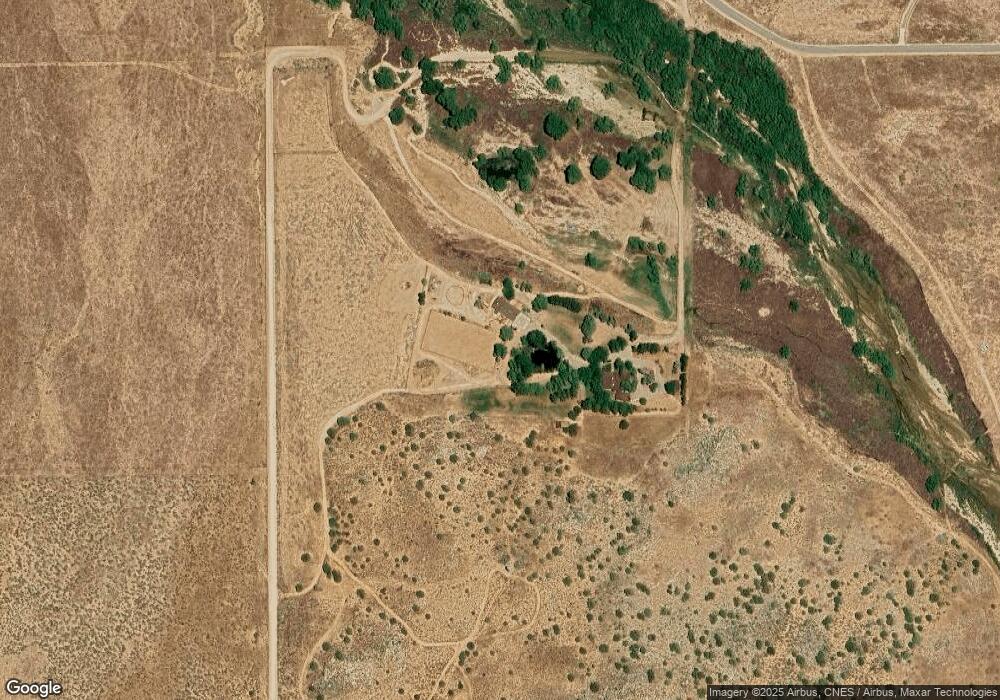
Map
Nearby Homes
- 3895 S Kelso Valley Rd
- 208&210
- 0 Kelso Valley Rd
- 0 S Kelso Valley Rd
- 2 Fremont
- 0 Apn# 321-121-07 Unit 202310880
- 10925 Rankin Ave
- 5727 Kelso Valley
- 15230 Tumbleweed
- 15310023 Kelso Valley Rd
- 5309 Marjorie St
- 4700 Cimarron Dr
- 6200 Poplar St
- 6165 Bonikell Ln
- 0 Vail Lane & Orsburn Ln
- 14225 Polaris St
- 11610 Longhorn Ln
- 20530 Highway 178
- 5445 Bella Vista Dr
- 0 Brooks Rd
Your Personal Tour Guide
Ask me questions while you tour the home.