Estimated Value: $364,000 - $518,000
2
Beds
2
Baths
1,707
Sq Ft
$262/Sq Ft
Est. Value
About This Home
This home is located at 44418 Royal Lytham Dr, Indio, CA 92201 and is currently estimated at $447,142, approximately $261 per square foot. 44418 Royal Lytham Dr is a home located in Riverside County with nearby schools including Carrillo Ranch Elementary School, John Glenn Middle School Of International Studies, and La Quinta High School.
Ownership History
Date
Name
Owned For
Owner Type
Purchase Details
Closed on
Feb 14, 2008
Sold by
Sand Gail M and Ellis Gail
Bought by
Sand Gail M and Gail M Sand Revocable Trust
Current Estimated Value
Purchase Details
Closed on
Sep 24, 2007
Sold by
Sand Gail M
Bought by
Sand Gail M and Gail M Sand Revocable Trust
Purchase Details
Closed on
Sep 9, 1999
Sold by
Us Home Corp
Bought by
Ellis Bernard and Ellis Gail
Home Financials for this Owner
Home Financials are based on the most recent Mortgage that was taken out on this home.
Original Mortgage
$60,000
Outstanding Balance
$17,884
Interest Rate
7.89%
Estimated Equity
$429,258
Create a Home Valuation Report for This Property
The Home Valuation Report is an in-depth analysis detailing your home's value as well as a comparison with similar homes in the area
Home Values in the Area
Average Home Value in this Area
Purchase History
| Date | Buyer | Sale Price | Title Company |
|---|---|---|---|
| Sand Gail M | -- | None Available | |
| Sand Gail M | -- | None Available | |
| Sand Gail M | -- | None Available | |
| Ellis Bernard | $187,500 | Stewart Title |
Source: Public Records
Mortgage History
| Date | Status | Borrower | Loan Amount |
|---|---|---|---|
| Open | Ellis Bernard | $60,000 |
Source: Public Records
Tax History Compared to Growth
Tax History
| Year | Tax Paid | Tax Assessment Tax Assessment Total Assessment is a certain percentage of the fair market value that is determined by local assessors to be the total taxable value of land and additions on the property. | Land | Improvement |
|---|---|---|---|---|
| 2025 | $4,501 | $287,690 | $61,461 | $226,229 |
| 2023 | $4,501 | $276,521 | $59,075 | $217,446 |
| 2022 | $4,082 | $271,100 | $57,917 | $213,183 |
| 2021 | $3,945 | $265,785 | $56,782 | $209,003 |
| 2020 | $3,720 | $263,060 | $56,200 | $206,860 |
| 2019 | $3,630 | $257,903 | $55,099 | $202,804 |
| 2018 | $3,545 | $252,847 | $54,020 | $198,827 |
| 2017 | $3,480 | $247,890 | $52,961 | $194,929 |
| 2016 | $3,417 | $243,030 | $51,923 | $191,107 |
| 2015 | $3,354 | $239,382 | $51,144 | $188,238 |
| 2014 | $3,300 | $234,695 | $50,144 | $184,551 |
Source: Public Records
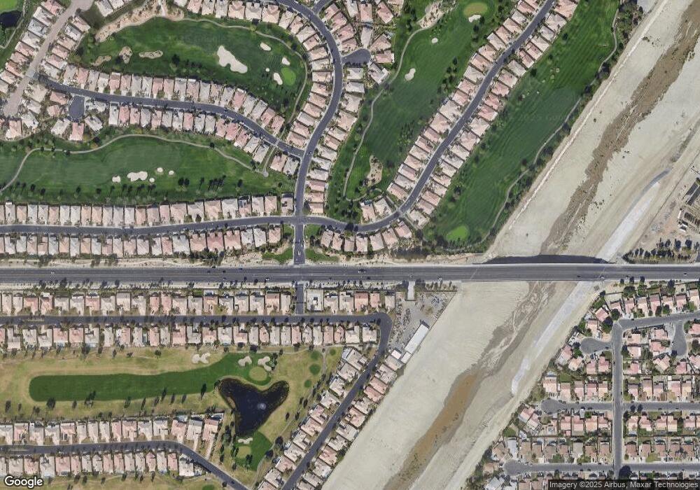
Map
Nearby Homes
- 45187 Crystal Springs Dr
- 45254 Crystal Springs Dr
- 80226 Royal Birkdale Dr
- 44648 S Heritage Palms Dr
- 80207 Royal Birkdale Dr
- 44390 Royal Lytham Dr
- 80424 Green Hills Dr
- 80193 Royal Birkdale Dr
- 80554 Knightswood Rd
- 80190 Royal Birkdale Dr
- 44591 S Heritage Palms Dr
- 80610 Prestwick Place
- 80538 Knightswood Rd
- 80179 Royal Birkdale Dr
- 80295 Green Hills Dr
- 44584 S Heritage Palms Dr
- 44580 S Heritage Palms Dr
- 80833 Dartmouth Ave
- 80928 Brown St
- 44329 Royal Lytham Dr
- 44420 Royal Lytham Dr
- 44416 Royal Lytham Dr
- 44422 Royal Lytham Dr
- 80619 Royal Lytham Dr
- 44414 Royal Lytham Dr
- 44405 Royal Lytham Dr
- 44412 Royal Lytham Dr
- 44664 S Heritage Palms Dr
- 44403 Royal Lytham Dr
- 44410 Royal Lytham Dr
- 44662 S Heritage Palms Dr
- 80564 Jasper Park Ave
- 80578 Jasper Park Ave
- 80550 Jasper Park Ave
- 80590 Jasper Park Ave
- 44401 Royal Lytham Dr
- 80600 Jasper Park Ave
- 80230 Royal Birkdale Dr
- 44408 Royal Lytham Dr
- 80227 Royal Birkdale Dr