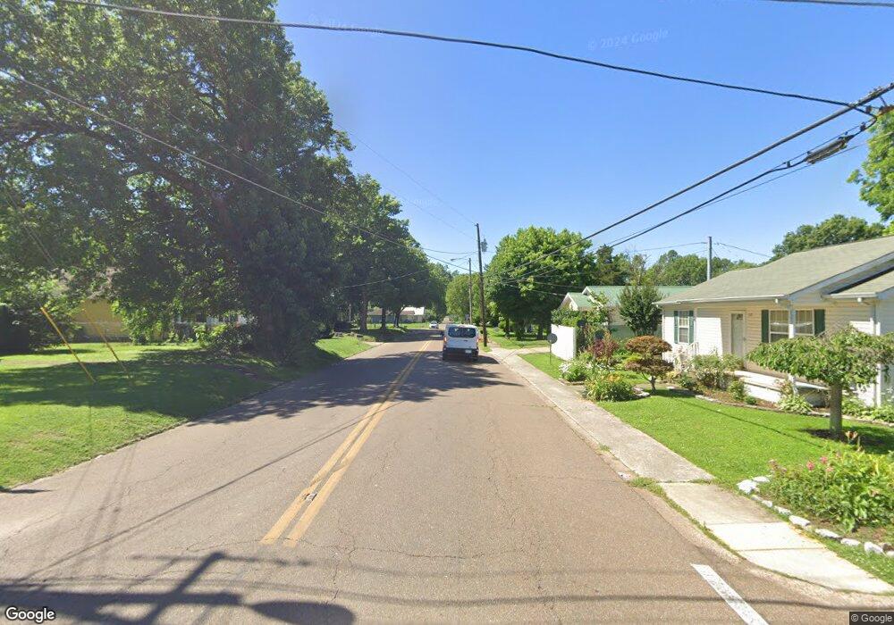
4449 N Highway 21 Union City, TN 38261
Estimated Value: $327,000 - $412,000
--
Bed
4
Baths
3,485
Sq Ft
$104/Sq Ft
Est. Value
About This Home
This home is located at 4449 N Highway 21, Union City, TN 38261 and is currently estimated at $361,538, approximately $103 per square foot. 4449 N Highway 21 is a home located in Obion County.
Ownership History
Date
Name
Owned For
Owner Type
Purchase Details
Closed on
Jan 29, 2019
Sold by
Bugg Jeremy B
Bought by
Grace Dwight and Grace Joy
Current Estimated Value
Purchase Details
Closed on
Aug 30, 2011
Sold by
First Citizens National Ba
Bought by
Bugg Jeremy B and Bugg Christy L
Home Financials for this Owner
Home Financials are based on the most recent Mortgage that was taken out on this home.
Original Mortgage
$196,891
Interest Rate
4.4%
Mortgage Type
New Conventional
Purchase Details
Closed on
Jul 18, 2011
Sold by
Lowe Jimmy L
Bought by
First Citizens National Bank
Home Financials for this Owner
Home Financials are based on the most recent Mortgage that was taken out on this home.
Original Mortgage
$196,891
Interest Rate
4.4%
Mortgage Type
New Conventional
Purchase Details
Closed on
Jan 10, 2007
Sold by
David Hoskins
Bought by
Lowe Jimmy L
Purchase Details
Closed on
Jan 4, 2007
Bought by
Hopkins David
Purchase Details
Closed on
Apr 20, 2001
Bought by
Hopkins David and Hopkins Jill
Create a Home Valuation Report for This Property
The Home Valuation Report is an in-depth analysis detailing your home's value as well as a comparison with similar homes in the area
Home Values in the Area
Average Home Value in this Area
Purchase History
| Date | Buyer | Sale Price | Title Company |
|---|---|---|---|
| Grace Dwight | $225,000 | -- | |
| Bugg Jeremy B | $183,000 | -- | |
| First Citizens National Bank | $215,000 | -- | |
| Lowe Jimmy L | $225,000 | -- | |
| Hopkins David | -- | -- | |
| Hopkins David | $220,000 | -- |
Source: Public Records
Mortgage History
| Date | Status | Borrower | Loan Amount |
|---|---|---|---|
| Previous Owner | Bugg Jeremy B | $196,891 |
Source: Public Records
Tax History Compared to Growth
Tax History
| Year | Tax Paid | Tax Assessment Tax Assessment Total Assessment is a certain percentage of the fair market value that is determined by local assessors to be the total taxable value of land and additions on the property. | Land | Improvement |
|---|---|---|---|---|
| 2025 | $1,115 | $80,750 | $0 | $0 |
| 2024 | $1,115 | $80,750 | $4,400 | $76,350 |
| 2023 | $1,115 | $80,750 | $4,400 | $76,350 |
| 2022 | $992 | $52,225 | $4,125 | $48,100 |
| 2021 | $992 | $52,225 | $4,125 | $48,100 |
| 2020 | $881 | $46,375 | $4,125 | $42,250 |
| 2019 | $881 | $46,375 | $4,125 | $42,250 |
| 2018 | $884 | $46,375 | $4,125 | $42,250 |
| 2017 | $1,190 | $59,375 | $2,575 | $56,800 |
| 2016 | $1,190 | $59,375 | $2,575 | $56,800 |
| 2015 | $1,190 | $59,375 | $2,575 | $56,800 |
| 2014 | $1,190 | $59,375 | $2,575 | $56,800 |
Source: Public Records
Map
Nearby Homes
- 903 Sherwood Dr
- 1449 Forest Dr
- 0 Mosswood Dr Unit RRA45928
- 0 Mosswood Dr Unit 44704
- 841 Mosswood Dr
- 1414 Forest Dr
- 0 Claude Tucker Rd Unit RRA45935
- 4884 Claude Tucker Rd
- 2202 Nailling Dr
- 1009 E Cheatham St
- 922 N Division St
- 0 Stevens St Unit Lot 32 RRA43013
- 0 Stevens St Unit Lot 31 RRA44510
- 0 Stevens St Unit Lot 30 RRA43033
- 109 Wilma Dr
- 232 Wilma Dr
- 207 Stevens St
- 218 Hayes St
- 221 Wilma Dr
- 224 Wilma Unit Lot 36
- 4449 N Highway 21
- 4463 N Highway 21
- 4399 N Highway 21
- 3769 Perry Browder Rd
- 4450 Hunters Ln
- 4385 Tennessee 21
- 4385 N Highway 21
- 4430 Hunters Ln
- 4454 Hunters Ln
- 4367 N Highway 21
- 4512 Hunters Ln
- 4362 N Highway 21
- 4340 Tennessee 21
- 4340 Tennessee 21
- 4340 Tennessee 21
- 3879 Clifford Rives Rd
- 4340 N Highway 21
- 4350 N Highway 21
- 4396 Hunters Ln
- 4328 N Highway 21
