447 Larkspur Dr Unit 1034 Canton, GA 30114
Laurel Canyon NeighborhoodEstimated Value: $477,224 - $506,000
2
Beds
2
Baths
1,712
Sq Ft
$287/Sq Ft
Est. Value
About This Home
This home is located at 447 Larkspur Dr Unit 1034, Canton, GA 30114 and is currently estimated at $491,612, approximately $287 per square foot. 447 Larkspur Dr Unit 1034 is a home located in Cherokee County with nearby schools including R. M. Moore Elementary School, Teasley Middle School, and Cherokee High School.
Ownership History
Date
Name
Owned For
Owner Type
Purchase Details
Closed on
May 24, 2022
Sold by
Rose Shirley A
Bought by
Speights Amanda G and Speights Archie L
Current Estimated Value
Home Financials for this Owner
Home Financials are based on the most recent Mortgage that was taken out on this home.
Original Mortgage
$382,500
Outstanding Balance
$362,874
Interest Rate
5.1%
Mortgage Type
New Conventional
Estimated Equity
$128,738
Purchase Details
Closed on
Jun 15, 2015
Sold by
Lifestyle At Laurel Canyon Homebuilder L
Bought by
Rose Shirley A
Home Financials for this Owner
Home Financials are based on the most recent Mortgage that was taken out on this home.
Original Mortgage
$200,000
Interest Rate
3.92%
Mortgage Type
New Conventional
Purchase Details
Closed on
Mar 27, 2013
Sold by
Lifestyle At Laurel Canyon
Bought by
Lifestyle At Laurel Canyon Hom
Create a Home Valuation Report for This Property
The Home Valuation Report is an in-depth analysis detailing your home's value as well as a comparison with similar homes in the area
Home Values in the Area
Average Home Value in this Area
Purchase History
| Date | Buyer | Sale Price | Title Company |
|---|---|---|---|
| Speights Amanda G | $450,000 | -- | |
| Rose Shirley A | $307,500 | -- | |
| Lifestyle At Laurel Canyon Hom | -- | -- |
Source: Public Records
Mortgage History
| Date | Status | Borrower | Loan Amount |
|---|---|---|---|
| Open | Speights Amanda G | $382,500 | |
| Previous Owner | Rose Shirley A | $200,000 |
Source: Public Records
Tax History Compared to Growth
Tax History
| Year | Tax Paid | Tax Assessment Tax Assessment Total Assessment is a certain percentage of the fair market value that is determined by local assessors to be the total taxable value of land and additions on the property. | Land | Improvement |
|---|---|---|---|---|
| 2024 | $5,317 | $185,760 | $44,000 | $141,760 |
| 2023 | $5,135 | $179,400 | $44,000 | $135,400 |
| 2022 | $763 | $147,960 | $31,600 | $116,360 |
| 2021 | $700 | $131,280 | $26,280 | $105,000 |
| 2020 | $679 | $127,080 | $24,800 | $102,280 |
| 2019 | $652 | $122,000 | $24,000 | $98,000 |
| 2018 | $654 | $119,240 | $24,000 | $95,240 |
| 2017 | $656 | $291,500 | $24,000 | $92,600 |
| 2016 | $656 | $282,900 | $24,000 | $89,160 |
| 2015 | $2,813 | $270,900 | $24,000 | $84,360 |
| 2014 | -- | $262,900 | $24,000 | $81,160 |
Source: Public Records
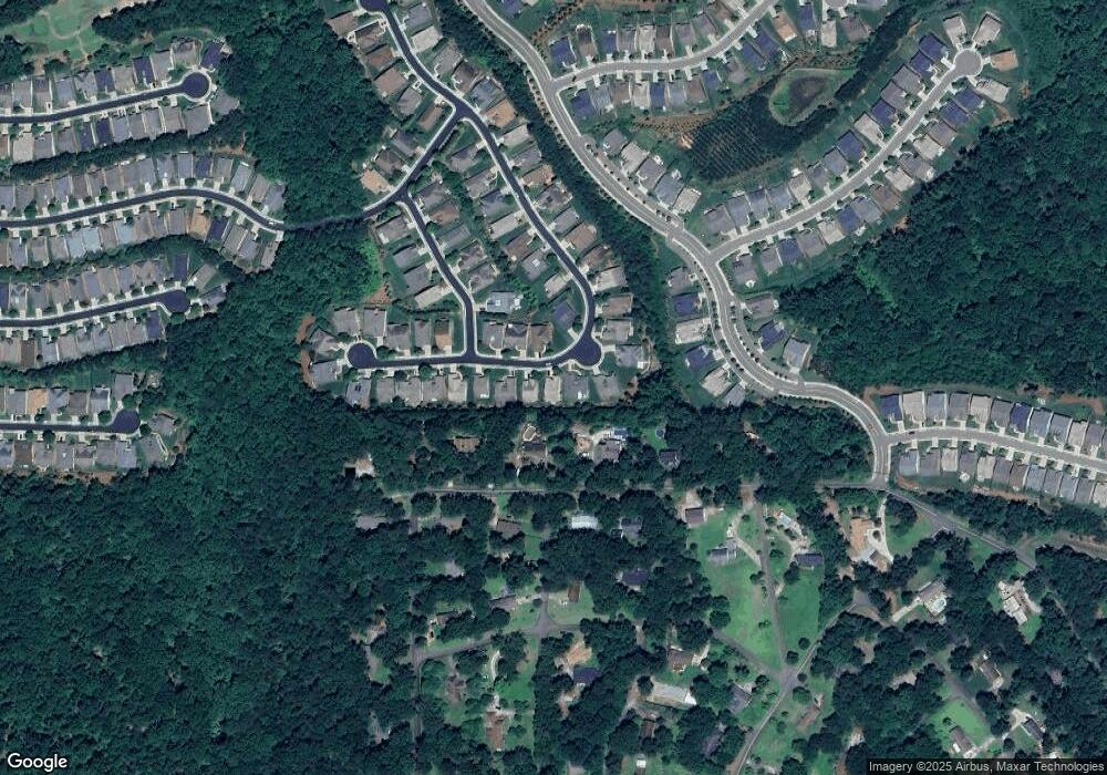
Map
Nearby Homes
- 158 Laurel Overlook
- 421 Larkspur Dr
- 238 Balsam Dr
- 405 Larkspur Dr
- 235 Balsam Dr
- 507 Bonneset Ct
- 646 Laurel Crossing
- 522 Windy Ridge Ct
- 514 Windy Ridge Ct
- 508 Windy Ridge Ct
- 304 Woodridge Pass
- 601 Laurel Crossing
- 232 Creek View Place
- 221 Creek View Place
- 269 Creek View Place
- 216 Creek View Place
- 450 Old Shoal Creek Rd
- 123 Longleaf Dr
- 447 Larkspur Dr
- 449 Larkspur Dr
- 445 Larkspur Dr
- 432 Larkspur Dr
- 434 Larkspur Dr
- 443 Larkspur Dr
- 451 Larkspur Dr Unit 1036
- 451 Larkspur Dr
- 436 Larkspur Dr
- 1111 Honeysuckle Dr
- 453 Larkspur Dr
- 311 Skyland Dr
- 441 Larkspur Dr
- 1113 Honeysuckle Dr
- 428 Larkspur Dr
- 438 Larkspur Dr
- 455 Larkspur Dr
- 439 Larkspur Dr
- 437 Larkspur Dr
- 1109 Honeysuckle Dr