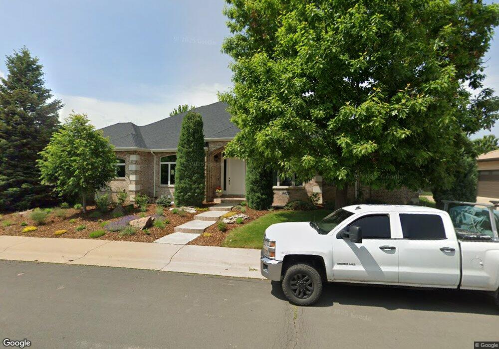
4473 W Hinsdale Ave Littleton, CO 80128
Estimated Value: $1,244,000 - $1,595,000
4
Beds
5
Baths
5,868
Sq Ft
$244/Sq Ft
Est. Value
About This Home
This home is located at 4473 W Hinsdale Ave, Littleton, CO 80128 and is currently estimated at $1,430,161, approximately $243 per square foot. 4473 W Hinsdale Ave is a home located in Arapahoe County with nearby schools including Wilder Elementary School, Goddard Middle School, and Heritage High School.
Ownership History
Date
Name
Owned For
Owner Type
Purchase Details
Closed on
Jun 20, 2019
Sold by
Rupp Frederick C and Rupp Virginia C
Bought by
Conrardy Aaron John and Conrardy Melanie Anne
Current Estimated Value
Home Financials for this Owner
Home Financials are based on the most recent Mortgage that was taken out on this home.
Original Mortgage
$752,000
Outstanding Balance
$661,192
Interest Rate
4.1%
Mortgage Type
New Conventional
Estimated Equity
$768,969
Purchase Details
Closed on
Oct 23, 1998
Sold by
Colaiano Thomas Eugene
Bought by
Rupp Frederick C and Rupp Virginia C
Create a Home Valuation Report for This Property
The Home Valuation Report is an in-depth analysis detailing your home's value as well as a comparison with similar homes in the area
Home Values in the Area
Average Home Value in this Area
Purchase History
| Date | Buyer | Sale Price | Title Company |
|---|---|---|---|
| Conrardy Aaron John | $940,000 | Land Title Guarantee Co | |
| Rupp Frederick C | $512,400 | Land Title |
Source: Public Records
Mortgage History
| Date | Status | Borrower | Loan Amount |
|---|---|---|---|
| Open | Conrardy Aaron John | $752,000 |
Source: Public Records
Tax History Compared to Growth
Tax History
| Year | Tax Paid | Tax Assessment Tax Assessment Total Assessment is a certain percentage of the fair market value that is determined by local assessors to be the total taxable value of land and additions on the property. | Land | Improvement |
|---|---|---|---|---|
| 2024 | $8,477 | $88,654 | -- | -- |
| 2023 | $8,477 | $88,654 | $0 | $0 |
| 2022 | $7,012 | $69,069 | $0 | $0 |
| 2021 | $6,993 | $69,069 | $0 | $0 |
| 2020 | $6,902 | $70,149 | $0 | $0 |
| 2019 | $5,831 | $70,149 | $0 | $0 |
| 2018 | $5,402 | $69,228 | $0 | $0 |
| 2017 | $5,006 | $69,228 | $0 | $0 |
| 2016 | $5,036 | $67,915 | $0 | $0 |
| 2015 | $5,048 | $67,915 | $0 | $0 |
| 2014 | -- | $50,864 | $0 | $0 |
| 2013 | -- | $59,120 | $0 | $0 |
Source: Public Records
Map
Nearby Homes
- 7452 S Utica St
- 4431 W Jamison Place
- 7425 S Utica St
- 7604 S Platteview Dr
- 7175 S Polo Ridge Dr
- 7079 S Polo Ridge Dr
- 5040 W Geddes Cir
- 7351 S Sheridan Ct
- 7427 S Ames Ct
- 5466 W Indore Dr
- 5274 W Rowland Place
- 7753 S Ames Way
- 7000 S Sheridan Blvd
- 7504 S Depew St
- 5041 W Portland Dr
- 5344 W Canyon Trail Unit B
- 5354 W Canyon Trail Unit C
- 5454 W Canyon Trail Unit B
- 7636 S Eaton Way
- 5474 W Canyon Trail Unit F
- 4453 W Hinsdale Ave
- 4441 W Geddes Ave
- 4511 W Hinsdale Ave
- 4492 W Hinsdale Ave
- 4472 W Hinsdale Ave
- 4440 W Geddes Ave
- 4471 W Geddes Ave
- 4500 W Hinsdale Ave
- 4452 W Hinsdale Ave
- 4433 W Hinsdale Ave
- 4541 W Hinsdale Ave
- 4470 W Geddes Ave
- 4432 W Hinsdale Ave
- 4540 W Hinsdale Ave
- 4491 W Geddes Ave
- 7251 S Polo Ridge Dr
- 4521 W Geddes Ave
- 4561 W Hinsdale Ave
- 4402 W Hinsdale Ave
- 4540 W Geddes Ave