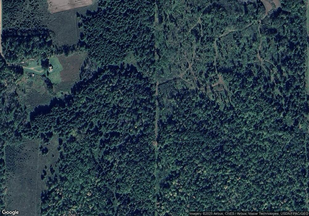
44814 285th Ave Laporte, MN 56461
Estimated Value: $146,240 - $371,000
3
Beds
2
Baths
1,296
Sq Ft
$178/Sq Ft
Est. Value
About This Home
This home is located at 44814 285th Ave, Laporte, MN 56461 and is currently estimated at $230,747, approximately $178 per square foot. 44814 285th Ave is a home located in Hubbard County with nearby schools including Horace May Elementary School, Bemidji Middle School, and Bemidji Senior High School.
Ownership History
Date
Name
Owned For
Owner Type
Purchase Details
Closed on
Oct 28, 2024
Sold by
Fisher Dennis R
Bought by
Fisher Dennis R
Current Estimated Value
Purchase Details
Closed on
Oct 11, 2024
Sold by
Fisher Lois M
Bought by
Fisher Dennis R
Purchase Details
Closed on
Oct 26, 2021
Sold by
Fisher Dennis R
Bought by
Fisher Dennis R
Purchase Details
Closed on
Oct 13, 2021
Sold by
Fisher Lois M
Bought by
Fisher Dennis R
Create a Home Valuation Report for This Property
The Home Valuation Report is an in-depth analysis detailing your home's value as well as a comparison with similar homes in the area
Home Values in the Area
Average Home Value in this Area
Purchase History
| Date | Buyer | Sale Price | Title Company |
|---|---|---|---|
| Fisher Dennis R | $500 | Sathre Title | |
| Nelson Allen | $160,000 | Sathre Title | |
| Fisher Dennis R | $500 | Sathre Title | |
| Fisher Dennis R | -- | None Available | |
| Fisher Mikael W | $35,000 | None Available | |
| Fisher Dennis R | $3,000 | None Available |
Source: Public Records
Tax History Compared to Growth
Tax History
| Year | Tax Paid | Tax Assessment Tax Assessment Total Assessment is a certain percentage of the fair market value that is determined by local assessors to be the total taxable value of land and additions on the property. | Land | Improvement |
|---|---|---|---|---|
| 2024 | $694 | $76,200 | $55,900 | $20,300 |
| 2023 | $1,078 | $164,800 | $149,900 | $14,900 |
| 2022 | $1,058 | $175,400 | $159,300 | $16,100 |
| 2021 | $1,092 | $134,300 | $117,900 | $16,400 |
| 2020 | $831 | $131,100 | $122,160 | $8,940 |
| 2019 | $851 | $101,400 | $101,400 | $0 |
| 2018 | $844 | $94,900 | $94,900 | $0 |
| 2016 | $1,068 | $90,500 | $90,500 | $0 |
| 2015 | $2,088 | $224,500 | $210,117 | $14,383 |
| 2014 | $2,186 | $248,800 | $232,548 | $16,252 |
Source: Public Records
Map
Nearby Homes
- 28816 450th St
- 44272 Rail Rd
- TBD 279th Ave
- Tbd 279th Ave
- 46962 parcel B 269th Ave
- 47225 269th Ave
- 28682 480th St
- 25629 Smokey Hollow Dr
- 42149 County 45
- 46441 255th Ave
- TBD 480th St
- TBD County 39 Rd
- 47320 Us 71
- 32597 Quail Ln
- 24896 County 9
- 30371 Old Sunset Dr
- 30945 Vahalla Ln
- 6608 148th St NW Unit LotWP001
- 6608 148th St NW
- 28558 Us 2
- TBD 450th St
- 29032 450th St
- 29104 450th St
- 29219 450th St
- 28952 450th St
- 45208 285th Ave
- 45384 285th Ave
- 29349 450th St
- NESE&PtSES County Road 16
- NESE&PtSESE County Road 16
- 0 285th Ave
- 28848 450th St
- 28803 450th St
- 28803 450th St
- 28803 450th St
- 29434 450th St
- 28200 County 16
- 29394 450th St
- 28510 County 16
- 28613 450th St
