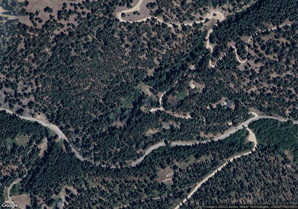
4485 Snowshoe Ln Missoula, MT 59803
Estimated Value: $890,617 - $1,063,000
3
Beds
2
Baths
2,286
Sq Ft
$427/Sq Ft
Est. Value
About This Home
This home is located at 4485 Snowshoe Ln, Missoula, MT 59803 and is currently estimated at $975,539, approximately $426 per square foot. 4485 Snowshoe Ln is a home located in Missoula County with nearby schools including Lewis & Clark School, Washington Middle School, and Sentinel High School.
Ownership History
Date
Name
Owned For
Owner Type
Purchase Details
Closed on
Dec 9, 2009
Sold by
Macdonald Douglas H
Bought by
Macdonald Douglas H and Macdonald Colleen M
Current Estimated Value
Home Financials for this Owner
Home Financials are based on the most recent Mortgage that was taken out on this home.
Original Mortgage
$292,000
Interest Rate
5.01%
Mortgage Type
New Conventional
Create a Home Valuation Report for This Property
The Home Valuation Report is an in-depth analysis detailing your home's value as well as a comparison with similar homes in the area
Home Values in the Area
Average Home Value in this Area
Purchase History
| Date | Buyer | Sale Price | Title Company |
|---|---|---|---|
| Macdonald Douglas H | -- | First American Title Company |
Source: Public Records
Mortgage History
| Date | Status | Borrower | Loan Amount |
|---|---|---|---|
| Closed | Macdonald Douglas H | $292,000 |
Source: Public Records
Tax History Compared to Growth
Tax History
| Year | Tax Paid | Tax Assessment Tax Assessment Total Assessment is a certain percentage of the fair market value that is determined by local assessors to be the total taxable value of land and additions on the property. | Land | Improvement |
|---|---|---|---|---|
| 2025 | $6,559 | $786,900 | $211,636 | $575,264 |
| 2024 | $7,204 | $681,700 | $168,463 | $513,237 |
| 2023 | $6,368 | $681,700 | $168,463 | $513,237 |
| 2022 | $5,504 | $505,862 | $0 | $0 |
| 2021 | $5,507 | $505,862 | $0 | $0 |
| 2020 | $5,258 | $469,000 | $0 | $0 |
| 2019 | $5,246 | $469,000 | $0 | $0 |
| 2018 | $4,636 | $417,600 | $0 | $0 |
| 2017 | $4,585 | $417,600 | $0 | $0 |
| 2016 | $4,602 | $443,698 | $0 | $0 |
| 2015 | $4,235 | $443,698 | $0 | $0 |
| 2014 | $3,921 | $227,359 | $0 | $0 |
Source: Public Records
Map
Nearby Homes
- Parcel 3B Snowshoe Ln
- 4830 Arnica Rd
- 1133 Pacific Dr
- 901 Ben Hogan Dr
- 410 Ben Hogan Dr
- 716 Spanish Peaks Dr
- 524 Spanish Peaks Dr
- 110 Hillcrest Loop
- 100 Pattee Canyon Dr
- 230 Dean Stone Dr
- 140 Fairway Dr
- 200 Northview Dr
- 500 Westview Dr
- 226 Mansion Heights Dr
- 675 E Central Ave
- 925 Parkview Way
- 1023 Whitaker Dr Unit A
- 217 Dixon Ave
- 2711 S Higgins Ave
- 217 Benton Ave
- 2350 Pattee Canyon Rd
- 4174 Snowshoe Ln
- 2250 Pattee Canyon Rd
- 4425 Snowshoe Ln
- 0 Burning Tree Dr Unit 21710285
- 2550 Pattee Canyon Rd
- 2225 Pattee Canyon Rd
- Tract 3b Snowshoe Ln
- Nhn Snowshoe Ln
- 4750 Arnica Rd
- 4605 Arnica Rd
- 4175 Snowshoe Ln
- 4844 Burning Tree Dr
- 3146 Pattee Canyon Rd
- 3146 Pattee Canyon Rd
- 4900 Burning Tree Dr
- 1919 Syringa Dr
- 4655 Lupine Rd
- 4125 Snowshoe Ln
- 4850 Arnica Rd
