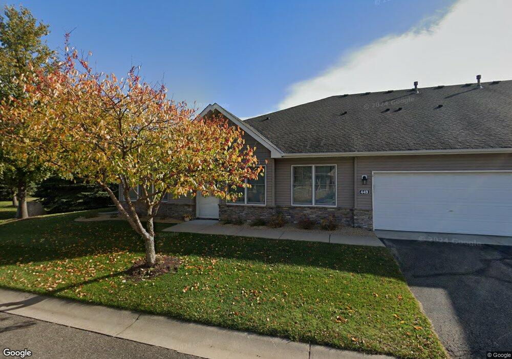
449 Hayes Dr Hastings, MN 55033
Hastings-Marshan Township NeighborhoodEstimated Value: $289,104 - $312,000
2
Beds
2
Baths
1,576
Sq Ft
$192/Sq Ft
Est. Value
About This Home
This home is located at 449 Hayes Dr, Hastings, MN 55033 and is currently estimated at $303,026, approximately $192 per square foot. 449 Hayes Dr is a home located in Dakota County with nearby schools including Kennedy Elementary School, Hastings Middle School, and Hastings High School.
Ownership History
Date
Name
Owned For
Owner Type
Purchase Details
Closed on
Sep 18, 2015
Sold by
Sarzoza Alvaro D and Sarzoza Laura L
Bought by
Robinette Paul A
Current Estimated Value
Home Financials for this Owner
Home Financials are based on the most recent Mortgage that was taken out on this home.
Original Mortgage
$185,000
Outstanding Balance
$145,405
Interest Rate
3.93%
Mortgage Type
FHA
Estimated Equity
$157,621
Purchase Details
Closed on
Feb 3, 2004
Sold by
Sunset Homes Corp
Bought by
Sarzoza Alvaro D and Sarzoza Laura L
Create a Home Valuation Report for This Property
The Home Valuation Report is an in-depth analysis detailing your home's value as well as a comparison with similar homes in the area
Home Values in the Area
Average Home Value in this Area
Purchase History
| Date | Buyer | Sale Price | Title Company |
|---|---|---|---|
| Robinette Paul A | $188,500 | Dca Title | |
| Sarzoza Alvaro D | $184,918 | -- |
Source: Public Records
Mortgage History
| Date | Status | Borrower | Loan Amount |
|---|---|---|---|
| Open | Robinette Paul A | $185,000 |
Source: Public Records
Tax History Compared to Growth
Tax History
| Year | Tax Paid | Tax Assessment Tax Assessment Total Assessment is a certain percentage of the fair market value that is determined by local assessors to be the total taxable value of land and additions on the property. | Land | Improvement |
|---|---|---|---|---|
| 2024 | $2,904 | $257,300 | $40,200 | $217,100 |
| 2023 | $2,904 | $262,600 | $40,000 | $222,600 |
| 2022 | $2,300 | $246,300 | $39,900 | $206,400 |
| 2021 | $2,238 | $202,300 | $34,700 | $167,600 |
| 2020 | $2,220 | $196,400 | $33,000 | $163,400 |
| 2019 | $2,125 | $189,400 | $31,500 | $157,900 |
| 2018 | $2,089 | $174,400 | $30,000 | $144,400 |
| 2017 | $2,085 | $167,100 | $28,500 | $138,600 |
| 2016 | $1,833 | $166,500 | $26,700 | $139,800 |
| 2015 | $1,673 | $122,554 | $21,485 | $101,069 |
| 2014 | -- | $112,090 | $20,045 | $92,045 |
| 2013 | -- | $85,712 | $16,413 | $69,299 |
Source: Public Records
Map
Nearby Homes
- 365 Hayes Dr Unit 30
- 379 Frederick Cir Unit 905
- 313 Frederick Cir Unit 106
- 3525 Vermillion St
- 3575 Vermillion St
- 753 Greten Ln
- 782 31st St W
- 235 Tiffany Dr
- 1163 Teal Way
- 3525 Douglas Dr
- 2000 Forest St
- 182 Sandpiper Cir
- 3125 Village Trail Unit 217
- 1942 Eddy St
- 3591 Village Way
- 3200 Malcolm Ave
- 2021 Pine St
- 416 19th St W
- 115 Kinglet Dr
- 1815 Louis Ln
- 393 Hayes Dr Unit 28
- 389 Hayes Dr
- 387 Hayes Dr Unit 26
- 391 Hayes Dr
- 455 36th St W
- 451 36th St W
- 453 Hayes Dr
- 3578 Cannon St Unit 16
- 3574 Cannon St
- 355 Hayes Dr Unit 13
- 451 36th St W Unit 23
- 389 Hayes Dr Unit 27
- 455 36th St W Unit 24
- 3574 Cannon St Unit 15
- 394 394 36th-Street-w
- 391 391 Hayes Dr
- 369 Hayes Dr
- 371 Hayes Dr Unit 32
- 367 Hayes Dr Unit 31
- 384 Hayes Dr Unit 45