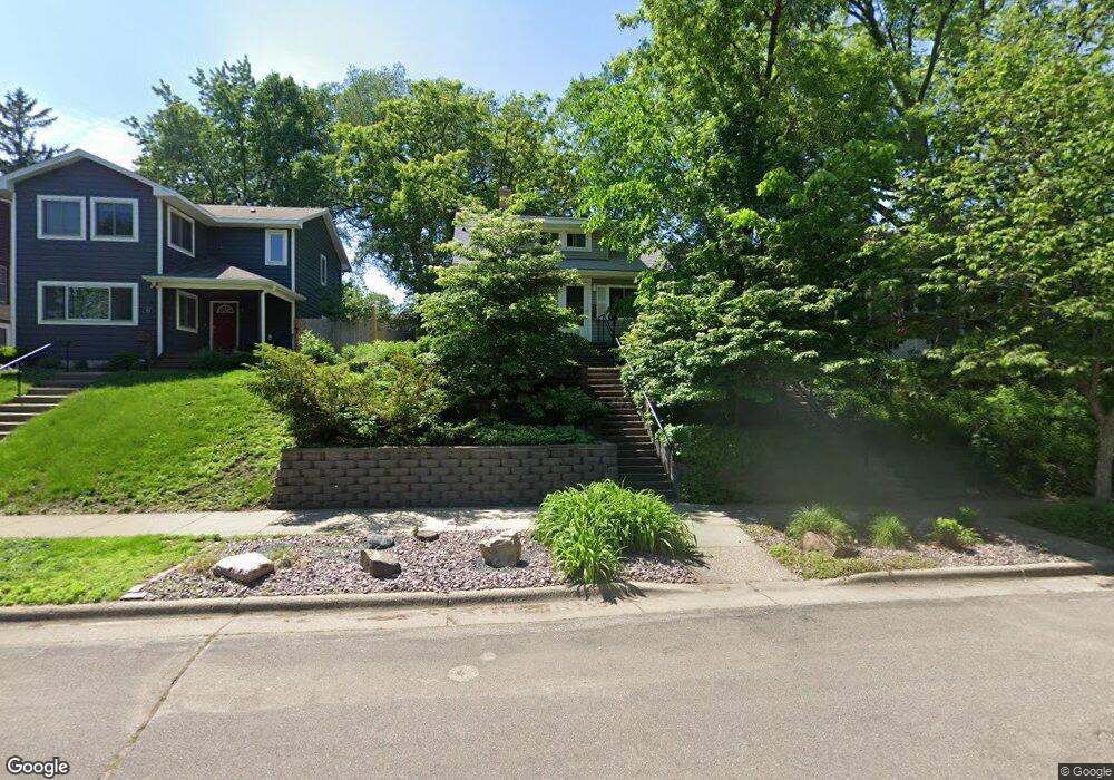
449 Pascal St S Saint Paul, MN 55105
Macalester-Groveland NeighborhoodEstimated Value: $389,000 - $423,000
3
Beds
2
Baths
1,004
Sq Ft
$403/Sq Ft
Est. Value
About This Home
This home is located at 449 Pascal St S, Saint Paul, MN 55105 and is currently estimated at $404,823, approximately $403 per square foot. 449 Pascal St S is a home located in Ramsey County with nearby schools including Randolph Heights Elementary School, Hidden River Middle School, and Central Senior High School.
Ownership History
Date
Name
Owned For
Owner Type
Purchase Details
Closed on
Jun 18, 2019
Sold by
Brown Deborah A and Stewart Mark T
Bought by
Brown Deborah A and Deborah A Brown Trust
Current Estimated Value
Purchase Details
Closed on
Apr 4, 1997
Sold by
Sturm Peter
Bought by
Carlson Julie and Schumacher Julie
Create a Home Valuation Report for This Property
The Home Valuation Report is an in-depth analysis detailing your home's value as well as a comparison with similar homes in the area
Home Values in the Area
Average Home Value in this Area
Purchase History
| Date | Buyer | Sale Price | Title Company |
|---|---|---|---|
| Brown Deborah A | $500 | None Available | |
| Carlson Julie | $70,500 | -- |
Source: Public Records
Mortgage History
| Date | Status | Borrower | Loan Amount |
|---|---|---|---|
| Closed | Carlson Julie | -- |
Source: Public Records
Tax History
| Year | Tax Paid | Tax Assessment Tax Assessment Total Assessment is a certain percentage of the fair market value that is determined by local assessors to be the total taxable value of land and additions on the property. | Land | Improvement |
|---|---|---|---|---|
| 2025 | $5,436 | $390,900 | $113,300 | $277,600 |
| 2023 | $5,436 | $354,700 | $113,300 | $241,400 |
| 2022 | $4,780 | $351,000 | $113,300 | $237,700 |
| 2021 | $4,612 | $302,600 | $113,300 | $189,300 |
| 2020 | $4,892 | $302,800 | $113,300 | $189,500 |
| 2019 | $5,084 | $299,000 | $113,300 | $185,700 |
| 2018 | $4,304 | $306,000 | $113,300 | $192,700 |
| 2017 | $3,868 | $270,400 | $113,300 | $157,100 |
| 2016 | $3,812 | $0 | $0 | $0 |
| 2015 | $3,640 | $242,500 | $103,000 | $139,500 |
| 2014 | $3,580 | $0 | $0 | $0 |
Source: Public Records
Map
Nearby Homes
- 1450 Juliet Ave
- 1429 Randolph Ave
- 388 Snelling Ave S
- 1438 Stanford Ave
- 440 Hamline Ave S
- 424 Hamline Ave S
- 271 Pascal St S
- 1272 Randolph Ave
- 1615 Stanford Ave
- 1262 Randolph Ave
- 1600 Hartford Ave
- 1591 Berkeley Ave
- 1254 Niles Ave
- 1735 Randolph Ave
- 1691 Hartford Ave
- 1209 Juno Ave
- TBD Scheffer Ave
- 1306 Eleanor Ave
- 1446 Goodrich Ave
- 1163 Juliet Ave
- 445 Pascal St S
- 453 Pascal St S
- 457 Pascal St S
- 441 Pascal St S
- 461 Pascal St S
- 1564 1564 James-Avenue-
- 450 Warwick St
- 437 Pascal St S
- 448 Warwick St
- 456 Warwick St
- 444 Warwick St
- 458 Warwick St
- 1459 James Ave
- 1458 James Ave
- 440 Warwick St
- 462 Warwick St
- 429 Pascal St S
- 1455 James Ave
- 1454 James Ave
- 436 Warwick St
Your Personal Tour Guide
Ask me questions while you tour the home.