449 Whittemore Point Rd S Bristol, NH 03222
Estimated Value: $689,000 - $1,205,000
3
Beds
3
Baths
2,293
Sq Ft
$391/Sq Ft
Est. Value
About This Home
This home is located at 449 Whittemore Point Rd S, Bristol, NH 03222 and is currently estimated at $895,590, approximately $390 per square foot. 449 Whittemore Point Rd S is a home with nearby schools including Bridgewater-Hebron Village School.
Ownership History
Date
Name
Owned For
Owner Type
Purchase Details
Closed on
Mar 8, 2017
Sold by
King Maureen N
Bought by
King Edward J
Current Estimated Value
Home Financials for this Owner
Home Financials are based on the most recent Mortgage that was taken out on this home.
Original Mortgage
$350,000
Outstanding Balance
$290,853
Interest Rate
4.16%
Mortgage Type
Stand Alone Refi Refinance Of Original Loan
Estimated Equity
$604,737
Create a Home Valuation Report for This Property
The Home Valuation Report is an in-depth analysis detailing your home's value as well as a comparison with similar homes in the area
Home Values in the Area
Average Home Value in this Area
Purchase History
| Date | Buyer | Sale Price | Title Company |
|---|---|---|---|
| King Edward J | -- | -- |
Source: Public Records
Mortgage History
| Date | Status | Borrower | Loan Amount |
|---|---|---|---|
| Open | King Edward J | $350,000 |
Source: Public Records
Tax History Compared to Growth
Tax History
| Year | Tax Paid | Tax Assessment Tax Assessment Total Assessment is a certain percentage of the fair market value that is determined by local assessors to be the total taxable value of land and additions on the property. | Land | Improvement |
|---|---|---|---|---|
| 2024 | $4,726 | $875,200 | $413,600 | $461,600 |
| 2023 | $4,363 | $541,300 | $245,500 | $295,800 |
| 2022 | $4,471 | $541,300 | $245,500 | $295,800 |
| 2021 | $4,477 | $541,300 | $245,500 | $295,800 |
| 2020 | $4,491 | $535,900 | $245,500 | $290,400 |
| 2019 | $3,909 | $400,500 | $178,800 | $221,700 |
| 2018 | $3,484 | $367,500 | $178,800 | $188,700 |
| 2017 | $3,535 | $367,500 | $178,800 | $188,700 |
| 2016 | $3,466 | $367,500 | $178,800 | $188,700 |
| 2015 | $3,787 | $389,200 | $194,800 | $194,400 |
| 2014 | $3,631 | $389,200 | $194,800 | $194,400 |
Source: Public Records
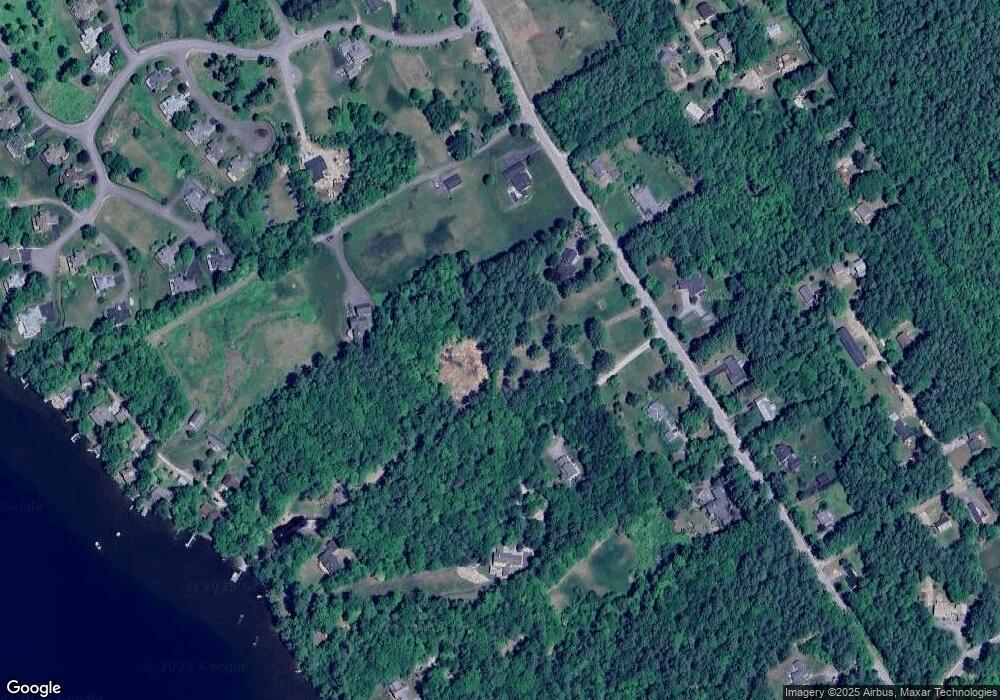
Map
Nearby Homes
- 199 Cottage City Rd
- 114 Ledgewood Terrace
- 862 Mayhew Turnpike Unit 1
- 383 Wulamat Rd
- 35 Manor Estates Dr Unit 14
- 40 Adams Rd
- 26 Don Gerry Rd
- 94 Mandi Ln
- 497 W Shore Rd
- 4 Birchwood Dr Unit A
- 00 Ledgewood Cir Unit 7
- Lot 7 Hall Rd
- Lots 1 & 2 Hall Rd
- 125 Verrill Rd
- 10 Merrill Rd
- 341 Perkins Hill Rd
- 301 Perkins Hill Rd
- 150 Peaked Hill Rd
- 29 Daniels Rd
- 00 Peaked Hill Rd Unit 7.1, 7.2, 7.3, 7.4,
- 471 Whittemore Point Rd S
- 492 Whittemore Point Rd S
- 421 Whittemore Point Rd S
- 35 Weymouth Ln
- 43 Rocky Shore Rd Unit 52
- 456 Whittemore Point Rd S
- 462 Whittemore Point Rd S
- 395 Whittemore Point Rd S
- 181 Rocky Shore Rd
- 78 Weymouth Ln
- 113 Rocky Shore Rd
- 418 Whittemore Point Rd S
- 177 Rocky Shore Rd
- 41 Melrose Rd
- 37 Tomahawk Trail
- 37 Tomahawk Trail Unit 37
- 37 Tomahawk Trail Unit 3
- 152 Mountain View Rd
- 41 Abenaki Ln Unit 42
- 398 Whittemore Point Rd S