4499 75th Ln Norwalk, IA 50211
Warren County NeighborhoodEstimated Value: $390,000 - $485,284
4
Beds
3
Baths
1,930
Sq Ft
$219/Sq Ft
Est. Value
About This Home
This home is located at 4499 75th Ln, Norwalk, IA 50211 and is currently estimated at $422,428, approximately $218 per square foot. 4499 75th Ln is a home located in Warren County with nearby schools including Oviatt Elementary School, Orchard Hills Elementary School, and Lakewood Elementary School.
Ownership History
Date
Name
Owned For
Owner Type
Purchase Details
Closed on
May 6, 2024
Sold by
Hoover Jeffery T and Hoover Nicol L
Bought by
Nicol L Hoover Living Trust and Jeffery T Hoover Living Trust
Current Estimated Value
Purchase Details
Closed on
Nov 17, 2017
Sold by
Betty Smith
Bought by
Hoover Jeffery and Hoover Nicol
Home Financials for this Owner
Home Financials are based on the most recent Mortgage that was taken out on this home.
Original Mortgage
$135,000
Interest Rate
3.95%
Create a Home Valuation Report for This Property
The Home Valuation Report is an in-depth analysis detailing your home's value as well as a comparison with similar homes in the area
Home Values in the Area
Average Home Value in this Area
Purchase History
| Date | Buyer | Sale Price | Title Company |
|---|---|---|---|
| Nicol L Hoover Living Trust | -- | None Listed On Document | |
| Hoover Jeffery | -- | -- |
Source: Public Records
Mortgage History
| Date | Status | Borrower | Loan Amount |
|---|---|---|---|
| Previous Owner | Hoover Jeffery | $135,000 | |
| Previous Owner | Hoover Jeffery | -- |
Source: Public Records
Tax History Compared to Growth
Tax History
| Year | Tax Paid | Tax Assessment Tax Assessment Total Assessment is a certain percentage of the fair market value that is determined by local assessors to be the total taxable value of land and additions on the property. | Land | Improvement |
|---|---|---|---|---|
| 2025 | $3,846 | $284,700 | $9,900 | $274,800 |
| 2024 | $3,874 | $291,900 | $7,100 | $284,800 |
| 2023 | $3,786 | $291,900 | $7,100 | $284,800 |
| 2022 | $3,754 | $249,400 | $5,400 | $244,000 |
| 2021 | $3,800 | $249,900 | $5,900 | $244,000 |
| 2020 | $3,800 | $233,700 | $6,100 | $227,600 |
| 2019 | $3,596 | $233,700 | $6,100 | $227,600 |
| 2018 | $3,660 | $211,200 | $0 | $0 |
| 2017 | $3,470 | $211,200 | $0 | $0 |
| 2016 | $3,428 | $205,800 | $0 | $0 |
| 2015 | $3,428 | $192,300 | $0 | $0 |
| 2014 | $3,454 | $207,900 | $0 | $0 |
Source: Public Records
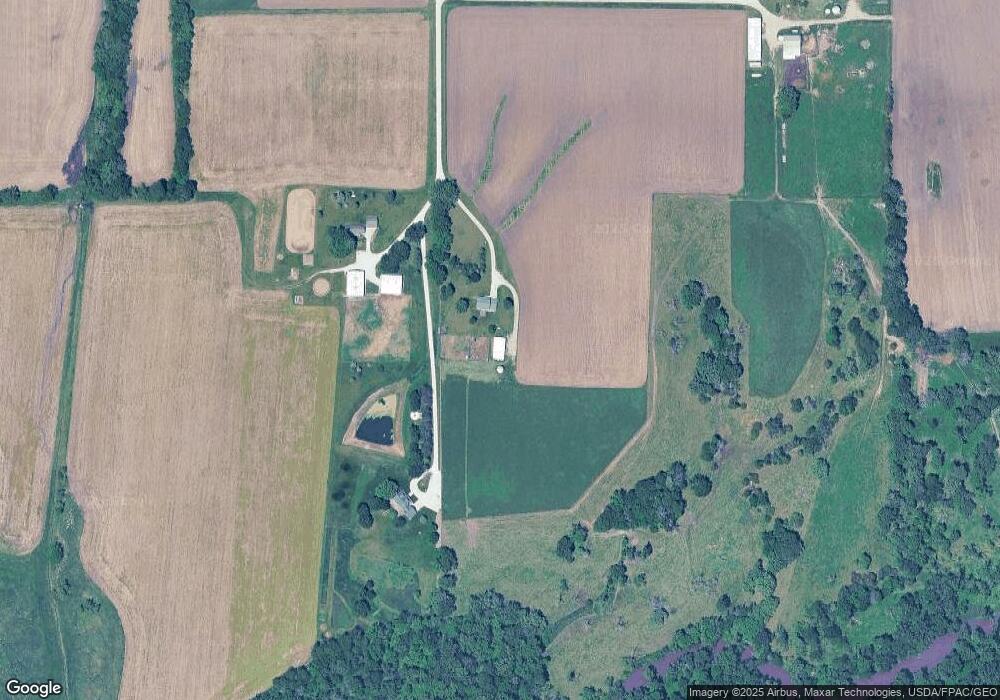
Map
Nearby Homes
- 333 Cormorant Dr
- 337 Cormorant Dr
- 341 Cormorant Dr
- 345 Cormorant Dr
- 400 Quetzal Dr
- 2700 Yordi Dr
- 400 Kingfisher Dr
- 2728 Yordi Dr
- 401 Kingfisher Dr
- 0000 Delaware and Sunset Dr Dr
- 403 Quetzal Dr
- Harmony Plan at Brody's Landing
- Woodcrest (Singe Family) Plan at Brody's Landing
- 504 Quetzal Dr
- Wayne Plan at Brody's Landing
- Caldwell Plan at Brody's Landing
- Cascade Plan at Brody's Landing
- Ashton Plan at Brody's Landing
- Bellhaven Plan at Brody's Landing
- Neuville Plan at Brody's Landing