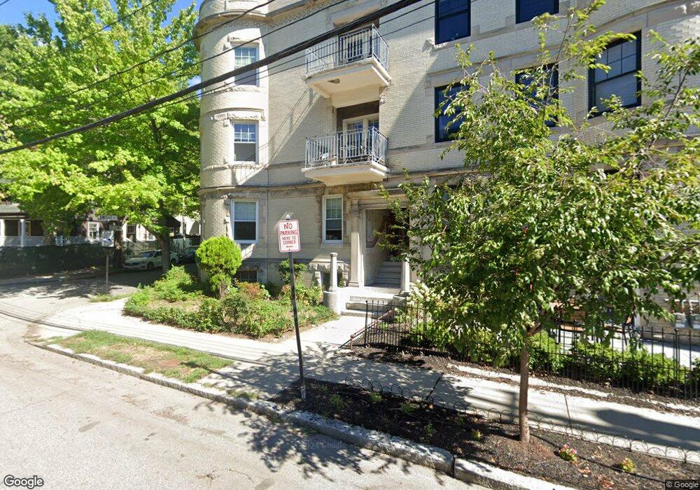
45 Dwight St Unit 2 Brookline, MA 02446
Coolidge Corner NeighborhoodEstimated Value: $3,233,000 - $3,416,000
6
Beds
3
Baths
7,160
Sq Ft
$464/Sq Ft
Est. Value
About This Home
This home is located at 45 Dwight St Unit 2, Brookline, MA 02446 and is currently estimated at $3,324,500, approximately $464 per square foot. 45 Dwight St Unit 2 is a home located in Norfolk County with nearby schools including Match Charter Public School and St. Mary of the Assumption Elementary School.
Ownership History
Date
Name
Owned For
Owner Type
Purchase Details
Closed on
Oct 16, 2024
Sold by
Hoo Jean S Est and Hoo
Bought by
45 Dwight Llc
Current Estimated Value
Purchase Details
Closed on
May 17, 1964
Bought by
Soo-Hoo Andrew and Soo-Hoo Jean
Create a Home Valuation Report for This Property
The Home Valuation Report is an in-depth analysis detailing your home's value as well as a comparison with similar homes in the area
Home Values in the Area
Average Home Value in this Area
Purchase History
| Date | Buyer | Sale Price | Title Company |
|---|---|---|---|
| 45 Dwight Llc | -- | None Available | |
| 45 Dwight Llc | -- | None Available | |
| Soo-Hoo Andrew | $42,000 | -- |
Source: Public Records
Tax History Compared to Growth
Tax History
| Year | Tax Paid | Tax Assessment Tax Assessment Total Assessment is a certain percentage of the fair market value that is determined by local assessors to be the total taxable value of land and additions on the property. | Land | Improvement |
|---|---|---|---|---|
| 2025 | $31,099 | $3,150,900 | $1,189,000 | $1,961,900 |
| 2024 | $31,282 | $3,201,800 | $1,143,200 | $2,058,600 |
| 2023 | $31,273 | $3,136,700 | $1,046,900 | $2,089,800 |
| 2022 | $30,440 | $2,987,200 | $996,900 | $1,990,300 |
| 2021 | $28,149 | $2,872,300 | $958,600 | $1,913,700 |
| 2020 | $26,694 | $2,824,800 | $871,500 | $1,953,300 |
| 2019 | $25,051 | $2,673,500 | $830,000 | $1,843,500 |
| 2018 | $23,408 | $2,474,400 | $691,600 | $1,782,800 |
| 2017 | $22,636 | $2,291,100 | $652,500 | $1,638,600 |
| 2016 | $21,704 | $2,082,900 | $609,800 | $1,473,100 |
| 2015 | $20,223 | $1,893,500 | $569,900 | $1,323,600 |
| 2014 | $20,059 | $1,761,100 | $474,900 | $1,286,200 |
Source: Public Records
Map
Nearby Homes
- 45 Dwight St
- 58 Dwight St Unit 6
- 63 Green St Unit 3
- 63 Green St Unit 2
- 52 Babcock St Unit 6
- 79 Pleasant St Unit 4
- 51 John St Unit 201
- 233 Freeman St Unit 1
- 125 Pleasant St Unit 201
- 10 Bradford Terrace Unit 5
- 125 Crowninshield Rd Unit 125
- 17 James St Unit 1
- 15 James St Unit 2
- 99 Crowninshield Rd Unit 99
- 14 Green St Unit PHA
- 14 Green St Unit PH1
- 85 Naples Rd Unit 2
- 18 Browne St Unit 2
- 11 Abbottsford Rd
- 373 Harvard St Unit 1
- 43 Dwight St Unit u2
- 43 Dwight St Unit 2
- 43 Dwight St Unit 1
- 43 Dwight St
- 43 Dwight St Unit 6F
- 41 Dwight St Unit 1
- 41 Dwight St Unit 3
- 41 Dwight St Unit 2
- 53 Dwight St
- 15 Stetson St
- 15 Stetson St Unit 1
- 9 Stetson St
- 39 Dwight St Unit 1
- 39 Dwight St Unit 3
- 39 Dwight St
- 39 Dwight St Unit 100
- 7 Stetson St
- 7 Stetson St Unit none
- 7 Stetson St
- 57 Dwight St Unit 2B