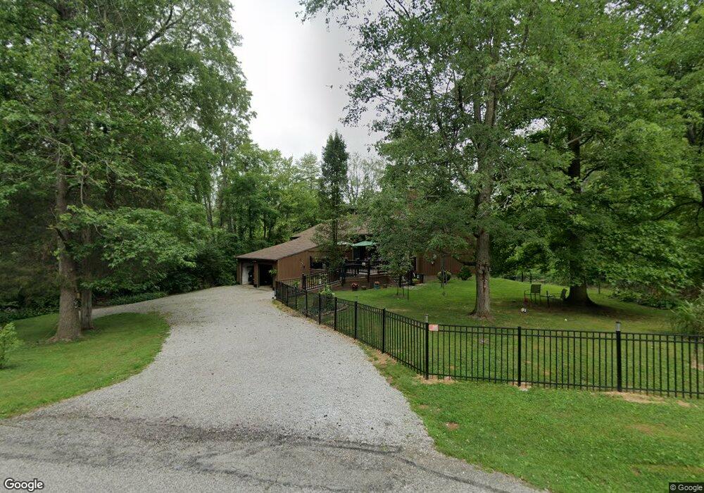
45 Hammerstone Way Mount Orab, OH 45154
Estimated Value: $253,000 - $310,000
Studio
1
Bath
1,742
Sq Ft
$162/Sq Ft
Est. Value
About This Home
This home is located at 45 Hammerstone Way, Mount Orab, OH 45154 and is currently estimated at $282,528, approximately $162 per square foot. 45 Hammerstone Way is a home located in Brown County with nearby schools including Western Brown High School.
Ownership History
Date
Name
Owned For
Owner Type
Purchase Details
Closed on
Aug 6, 1997
Sold by
Meyer Robert F
Bought by
Howell James H and Howell Karen J
Current Estimated Value
Home Financials for this Owner
Home Financials are based on the most recent Mortgage that was taken out on this home.
Original Mortgage
$76,500
Outstanding Balance
$11,608
Interest Rate
7.68%
Mortgage Type
New Conventional
Estimated Equity
$270,920
Purchase Details
Closed on
Feb 15, 1996
Sold by
Forderer Timothy J
Bought by
Meyer Robert F and Meyer Donna L
Home Financials for this Owner
Home Financials are based on the most recent Mortgage that was taken out on this home.
Original Mortgage
$79,800
Interest Rate
7.07%
Mortgage Type
New Conventional
Create a Home Valuation Report for This Property
The Home Valuation Report is an in-depth analysis detailing your home's value as well as a comparison with similar homes in the area
Home Values in the Area
Average Home Value in this Area
Purchase History
| Date | Buyer | Sale Price | Title Company |
|---|---|---|---|
| Howell James H | $85,000 | -- | |
| Meyer Robert F | $84,000 | -- |
Source: Public Records
Mortgage History
| Date | Status | Borrower | Loan Amount |
|---|---|---|---|
| Open | Howell James H | $76,500 | |
| Previous Owner | Meyer Robert F | $79,800 |
Source: Public Records
Tax History
| Year | Tax Paid | Tax Assessment Tax Assessment Total Assessment is a certain percentage of the fair market value that is determined by local assessors to be the total taxable value of land and additions on the property. | Land | Improvement |
|---|---|---|---|---|
| 2024 | $2,198 | $71,570 | $11,810 | $59,760 |
| 2023 | $1,827 | $55,140 | $8,100 | $47,040 |
| 2022 | $1,827 | $55,140 | $8,100 | $47,040 |
| 2021 | $1,753 | $55,140 | $8,100 | $47,040 |
| 2020 | $1,540 | $45,970 | $6,770 | $39,200 |
| 2019 | $851 | $45,970 | $6,770 | $39,200 |
| 2018 | $1,623 | $45,970 | $6,770 | $39,200 |
| 2017 | $1,403 | $38,730 | $6,270 | $32,460 |
| 2016 | $1,403 | $38,730 | $6,270 | $32,460 |
| 2015 | $1,351 | $38,730 | $6,270 | $32,460 |
| 2014 | $1,351 | $38,160 | $5,700 | $32,460 |
| 2013 | $1,348 | $38,160 | $5,700 | $32,460 |
Source: Public Records
Map
Nearby Homes
- 311 Smith Ave
- 414 Castle Ave
- 402 E Main St
- 329 E Main St
- 506 E Main St
- 781 S High St
- 419 Liming Farm Rd
- 214 Gregory St
- 108 Lonny St
- 106 Lonny St
- 102 Lonny St
- 203 Bingaman Ln
- 206 Bingaman Ln
- 106 Haylee Dr
- 3738 Lake Grant Access Rd
- 102 Tom's Turnaround
- 110 Nathans Ln
- 317 Robin Ave
- 13523 Lake Grant Rd
- 106 Nathans Ln
- 7 Compton Place
- 119 Beacon Hill Dr
- 219 Beacon Hill Dr
- 9 Compton Place
- 8 Compton Place
- 115 Beacon Hill Dr
- 310 Grant Ave
- 203 Beacon Hill Dr
- 120 Beacon Hill Dr
- 120 Beacon Hill Dr
- 308 Grant Ave
- 202 Beacon Hill Dr
- 400 Grant Ave
- 103 Rosewood Ln
- 3 Hammerstone Way
- 113 Beacon Hill Dr
- 116 Beacon Hill Dr
- 306 Grant Ave
- 105 Rosewood Ln
- 205 Beacon Hill Dr
Your Personal Tour Guide
Ask me questions while you tour the home.