45 Lindentree Ln Middletown, NY 10940
Estimated Value: $432,000 - $493,000
3
Beds
3
Baths
1,544
Sq Ft
$303/Sq Ft
Est. Value
About This Home
This home is located at 45 Lindentree Ln, Middletown, NY 10940 and is currently estimated at $467,739, approximately $302 per square foot. 45 Lindentree Ln is a home with nearby schools including William A. Carter School, Middletown Twin Towers Middle School, and Monhagen Middle School.
Ownership History
Date
Name
Owned For
Owner Type
Purchase Details
Closed on
Mar 13, 2018
Sold by
Baker Residential Lp
Bought by
Mcfarlane Darrell A and Mcfarlane Dionne N
Current Estimated Value
Home Financials for this Owner
Home Financials are based on the most recent Mortgage that was taken out on this home.
Original Mortgage
$302,185
Outstanding Balance
$258,887
Interest Rate
4.37%
Mortgage Type
FHA
Estimated Equity
$208,852
Create a Home Valuation Report for This Property
The Home Valuation Report is an in-depth analysis detailing your home's value as well as a comparison with similar homes in the area
Home Values in the Area
Average Home Value in this Area
Purchase History
| Date | Buyer | Sale Price | Title Company |
|---|---|---|---|
| Mcfarlane Darrell A | $307,760 | -- | |
| Mcfarlane Darrell A | $307,760 | -- | |
| Mcfarlane Darrell A | $307,760 | -- |
Source: Public Records
Mortgage History
| Date | Status | Borrower | Loan Amount |
|---|---|---|---|
| Open | Mcfarlane Darrell A | $302,185 | |
| Closed | Mcfarlane Darrell A | $302,185 |
Source: Public Records
Tax History Compared to Growth
Tax History
| Year | Tax Paid | Tax Assessment Tax Assessment Total Assessment is a certain percentage of the fair market value that is determined by local assessors to be the total taxable value of land and additions on the property. | Land | Improvement |
|---|---|---|---|---|
| 2024 | $8,025 | $51,400 | $4,900 | $46,500 |
| 2023 | $8,025 | $51,400 | $4,900 | $46,500 |
| 2022 | $8,231 | $51,400 | $4,900 | $46,500 |
| 2021 | $8,734 | $51,400 | $4,900 | $46,500 |
| 2020 | $2,613 | $51,400 | $4,900 | $46,500 |
| 2019 | $8,434 | $51,400 | $4,900 | $46,500 |
| 2018 | $8,434 | $49,100 | $4,900 | $44,200 |
| 2017 | $876 | $4,900 | $4,900 | $0 |
Source: Public Records
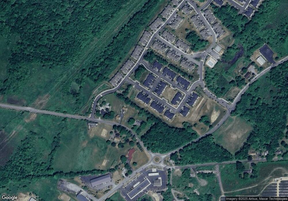
Map
Nearby Homes
- 20 Atwood Dr
- 15 Lindentree Ln
- 4 Kless Ct
- 119 Meadow View Dr
- 0 Airport Rd Unit ONEH6195533
- 5 Raleigh Close Unit 3
- 1 Chancery Mews
- 2 Danielle Ct
- 8 Ebury Mews
- 19-21 Wilson St
- 4 Eaton Ct
- 6 Eaton Ct
- 147 Ruth Ct
- 261 Ruth Ct
- 38 Wilson St
- 100 Excelsior Ave
- 96 Belmont Ave
- 193 Schutt Rd
- 214 Phillips St
- 17 Magnolia Park Rd
- 43 Lindentree Ln
- 47 Lindentree Ln
- 49 Lindentree Ln
- 41 Lindentree Ln
- 51 Lindentree Ln
- 39 Lindentree Ln
- 35 Lindentree Ln
- 1 Spruce Ln
- 33 Lindentree Ln
- 3 Spruce Ln
- 5 Spruce Ln
- 7 Spruce Ln
- 29 Lindentree Ln
- 316 Genung St
- 9 Spruce Ln
- 27 Lindentree Ln
- 11 Spruce Ln
- 25 Lindentree Ln
- 18 Lindentree Ln
- 16 Lindentree Ln