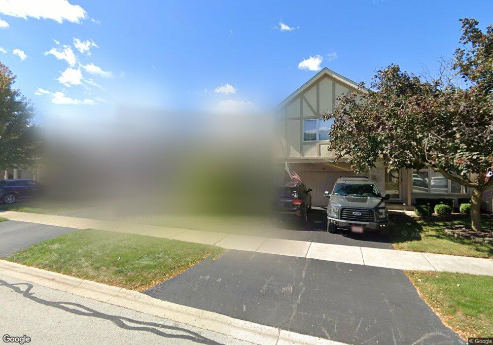
45 Townsend Cir Naperville, IL 60565
Old Farm NeighborhoodEstimated Value: $384,637 - $433,000
2
Beds
3
Baths
1,650
Sq Ft
$252/Sq Ft
Est. Value
About This Home
This home is located at 45 Townsend Cir, Naperville, IL 60565 and is currently estimated at $415,159, approximately $251 per square foot. 45 Townsend Cir is a home located in Will County with nearby schools including Kingsley Elementary School, Lincoln Jr. High School, and Naperville Central High School.
Ownership History
Date
Name
Owned For
Owner Type
Purchase Details
Closed on
May 21, 2002
Sold by
Wilson Rose and Brescia Rose
Bought by
Wilson Rose and Wilson James A
Current Estimated Value
Purchase Details
Closed on
Nov 7, 2001
Sold by
Brescia Rose
Bought by
Brescia Rose
Purchase Details
Closed on
Jan 8, 1998
Sold by
Brescia Charles and Brescia Rose
Bought by
Brescia Charles and Brescia Rose
Create a Home Valuation Report for This Property
The Home Valuation Report is an in-depth analysis detailing your home's value as well as a comparison with similar homes in the area
Home Values in the Area
Average Home Value in this Area
Purchase History
| Date | Buyer | Sale Price | Title Company |
|---|---|---|---|
| Wilson Rose | -- | -- | |
| Brescia Rose | -- | -- | |
| Brescia Charles | -- | -- |
Source: Public Records
Tax History Compared to Growth
Tax History
| Year | Tax Paid | Tax Assessment Tax Assessment Total Assessment is a certain percentage of the fair market value that is determined by local assessors to be the total taxable value of land and additions on the property. | Land | Improvement |
|---|---|---|---|---|
| 2024 | $5,907 | $107,556 | $17,156 | $90,400 |
| 2023 | $5,907 | $96,775 | $15,436 | $81,339 |
| 2022 | $5,912 | $96,941 | $15,462 | $81,479 |
| 2021 | $5,482 | $90,641 | $14,457 | $76,184 |
| 2020 | $5,257 | $87,661 | $13,982 | $73,679 |
| 2019 | $5,050 | $83,486 | $13,316 | $70,170 |
| 2018 | $4,796 | $79,906 | $12,745 | $67,161 |
| 2017 | $4,587 | $75,741 | $12,081 | $63,660 |
| 2016 | $4,402 | $72,100 | $11,500 | $60,600 |
| 2015 | $4,546 | $69,100 | $11,000 | $58,100 |
| 2014 | $4,546 | $69,100 | $11,000 | $58,100 |
| 2013 | $4,546 | $69,100 | $11,000 | $58,100 |
Source: Public Records
Map
Nearby Homes
- 2337 Worthing Dr Unit 102A
- 2132 Berkley Ct Unit 201A
- 47 Glencoe Ct Unit 102D
- 23 Glencoe Ct Unit 202B
- 2276 Kaskaskia Ct
- 2167 Countryside Cir
- 36 Oak Bluff Ct
- 2280 Barth Dr
- 1921 Wisteria Ct Unit 3
- 44 Oak Bluff Ct
- 2471 Kingsley Dr
- 15 Pinnacle Ct
- 312 Leeds Ct
- 2697 Fox River Ln
- 51 Ford Ln
- 20 Pinnacle Ct
- 315 Leeds Ct
- 2575 River Woods Dr
- 303 Cedarbrook Rd
- 2308 Modaff Rd
- 47 Townsend Cir
- 49 Townsend Cir
- 41 Townsend Cir
- 2278 Mccartney Dr
- 2276 Mccartney Dr
- 2280 Mccartney Dr
- 51 Townsend Cir
- 39 Townsend Cir
- 2282 Mccartney Dr
- 2274 Mccartney Dr
- 53 Townsend Cir
- 2284 Mccartney Dr
- 37 Townsend Cir Unit 22094
- 44 Townsend Cir
- 46 Townsend Cir
- 42 Townsend Cir
- 2286 Mccartney Dr
- 48 Townsend Cir
- 40 Townsend Cir
- 55 Townsend Cir