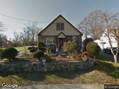
45 Travis Dr Bridgeport, CT 06606
North End NeighborhoodEstimated Value: $425,000 - $541,000
4
Beds
2
Baths
2,055
Sq Ft
$235/Sq Ft
Est. Value
About This Home
This home is located at 45 Travis Dr, Bridgeport, CT 06606 and is currently estimated at $482,279, approximately $234 per square foot. 45 Travis Dr is a home located in Fairfield County with nearby schools including John Winthrop School, Central High School, and St Andrew School.
Ownership History
Date
Name
Owned For
Owner Type
Purchase Details
Closed on
Apr 26, 1994
Sold by
Dias Domingos and Dias Maria
Bought by
Martins Joao P and Martins Maria
Current Estimated Value
Home Financials for this Owner
Home Financials are based on the most recent Mortgage that was taken out on this home.
Original Mortgage
$98,900
Interest Rate
7.6%
Mortgage Type
Unknown
Create a Home Valuation Report for This Property
The Home Valuation Report is an in-depth analysis detailing your home's value as well as a comparison with similar homes in the area
Home Values in the Area
Average Home Value in this Area
Purchase History
| Date | Buyer | Sale Price | Title Company |
|---|---|---|---|
| Martins Joao P | $109,900 | -- | |
| Martins Joao P | $109,900 | -- |
Source: Public Records
Mortgage History
| Date | Status | Borrower | Loan Amount |
|---|---|---|---|
| Open | Martins Joao P | $90,000 | |
| Closed | Martins Joao P | $125,000 | |
| Closed | Martins Joao P | $10,000 | |
| Closed | Martins Joao P | $98,900 |
Source: Public Records
Tax History Compared to Growth
Tax History
| Year | Tax Paid | Tax Assessment Tax Assessment Total Assessment is a certain percentage of the fair market value that is determined by local assessors to be the total taxable value of land and additions on the property. | Land | Improvement |
|---|---|---|---|---|
| 2024 | $8,850 | $203,680 | $81,400 | $122,280 |
| 2023 | $8,850 | $203,680 | $81,400 | $122,280 |
| 2022 | $8,850 | $203,680 | $81,400 | $122,280 |
| 2021 | $8,850 | $203,680 | $81,400 | $122,280 |
| 2020 | $8,238 | $152,590 | $59,500 | $93,090 |
| 2019 | $8,238 | $152,590 | $59,500 | $93,090 |
| 2018 | $8,296 | $152,590 | $59,500 | $93,090 |
| 2017 | $8,296 | $152,590 | $59,500 | $93,090 |
| 2016 | $8,296 | $152,590 | $59,500 | $93,090 |
| 2015 | $6,989 | $165,620 | $51,440 | $114,180 |
| 2014 | $6,989 | $165,620 | $51,440 | $114,180 |
Source: Public Records
Map
Nearby Homes
- 55 Travis Dr
- 58 Bear Paw Rd
- 217 Macon Dr
- 186 Anton Dr
- 3456 Madison Ave
- 3370 Madison Ave Unit 4A
- 3370 Madison Ave Unit 9B
- 83 Guilford Dr
- 50 Greenhouse Rd Unit 17A
- 50 Greenhouse Rd Unit 41C
- 50 Greenhouse Rd Unit 65D
- 50 Greenhouse Rd Unit 33C
- 5017 Main St
- 107 Luther St
- 3170 Old Town Rd
- 44 Botsford Place
- 80 Vincellette St
- 84 Oxford St
- 3289 Old Town Rd
- 86 Vanguard St