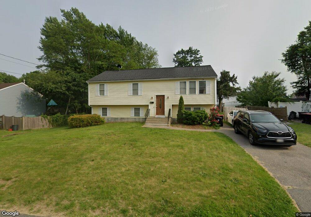
45 Watson St Brockton, MA 02301
Campello NeighborhoodEstimated Value: $431,000 - $607,000
3
Beds
2
Baths
1,144
Sq Ft
$461/Sq Ft
Est. Value
About This Home
This home is located at 45 Watson St, Brockton, MA 02301 and is currently estimated at $527,640, approximately $461 per square foot. 45 Watson St is a home located in Plymouth County with nearby schools including Gilmore Elementary School, Davis K-8 School, and John F. Kennedy Elementary School.
Ownership History
Date
Name
Owned For
Owner Type
Purchase Details
Closed on
Oct 25, 2024
Sold by
Foote Norman and Cunningham Mechael
Bought by
Francois Mechael
Current Estimated Value
Purchase Details
Closed on
Dec 14, 2006
Sold by
Weichert Reloca Resour
Bought by
Foote Norman and Cunnigham Mecheal
Purchase Details
Closed on
Jul 2, 2003
Sold by
Baksh M Nizam M and Baksh Raheema
Bought by
Andrade Cipriano M and Depina Felismina A
Create a Home Valuation Report for This Property
The Home Valuation Report is an in-depth analysis detailing your home's value as well as a comparison with similar homes in the area
Home Values in the Area
Average Home Value in this Area
Purchase History
| Date | Buyer | Sale Price | Title Company |
|---|---|---|---|
| Francois Mechael | -- | None Available | |
| Francois Mechael | -- | None Available | |
| Foote Norman | $290,000 | -- | |
| Weichert Reloca Resour | $329,000 | -- | |
| Andrade Cipriano M | $277,000 | -- | |
| Foote Norman | $290,000 | -- | |
| Andrade Cipriano M | $277,000 | -- |
Source: Public Records
Mortgage History
| Date | Status | Borrower | Loan Amount |
|---|---|---|---|
| Previous Owner | Andrade Cipriano M | $106,850 |
Source: Public Records
Tax History
| Year | Tax Paid | Tax Assessment Tax Assessment Total Assessment is a certain percentage of the fair market value that is determined by local assessors to be the total taxable value of land and additions on the property. | Land | Improvement |
|---|---|---|---|---|
| 2025 | $6,449 | $532,500 | $141,300 | $391,200 |
| 2024 | $6,068 | $504,800 | $141,300 | $363,500 |
| 2023 | $5,858 | $451,300 | $110,200 | $341,100 |
| 2022 | $5,318 | $380,700 | $100,200 | $280,500 |
| 2021 | $5,071 | $349,700 | $84,500 | $265,200 |
| 2020 | $4,919 | $324,700 | $77,900 | $246,800 |
| 2019 | $4,772 | $307,100 | $75,600 | $231,500 |
| 2018 | $4,990 | $293,800 | $75,600 | $218,200 |
| 2017 | $4,091 | $254,100 | $75,600 | $178,500 |
| 2016 | $4,180 | $240,800 | $73,700 | $167,100 |
| 2015 | $4,205 | $231,700 | $73,700 | $158,000 |
| 2014 | $3,934 | $217,000 | $73,700 | $143,300 |
Source: Public Records
Map
Nearby Homes
- 35 Longworth Ave Unit 25
- 25 Longworth Ave Unit 4
- 15 Longworth Ave Unit 226
- 9 Longworth Ave Unit 135
- 15 Market St
- 26 South St
- 223 Clinton St Unit 16
- 34 South St
- 326 Copeland St
- 23 E Chestnut St
- 41 Riverview St
- 24 E Chestnut St
- 115 Market St
- 47 Southworth St
- 25 Tremont St
- 60 Tremont St
- 549 Summer St
- 111 Riverview St
- 65 Tremont St
- 12 Finny's Way
Your Personal Tour Guide
Ask me questions while you tour the home.