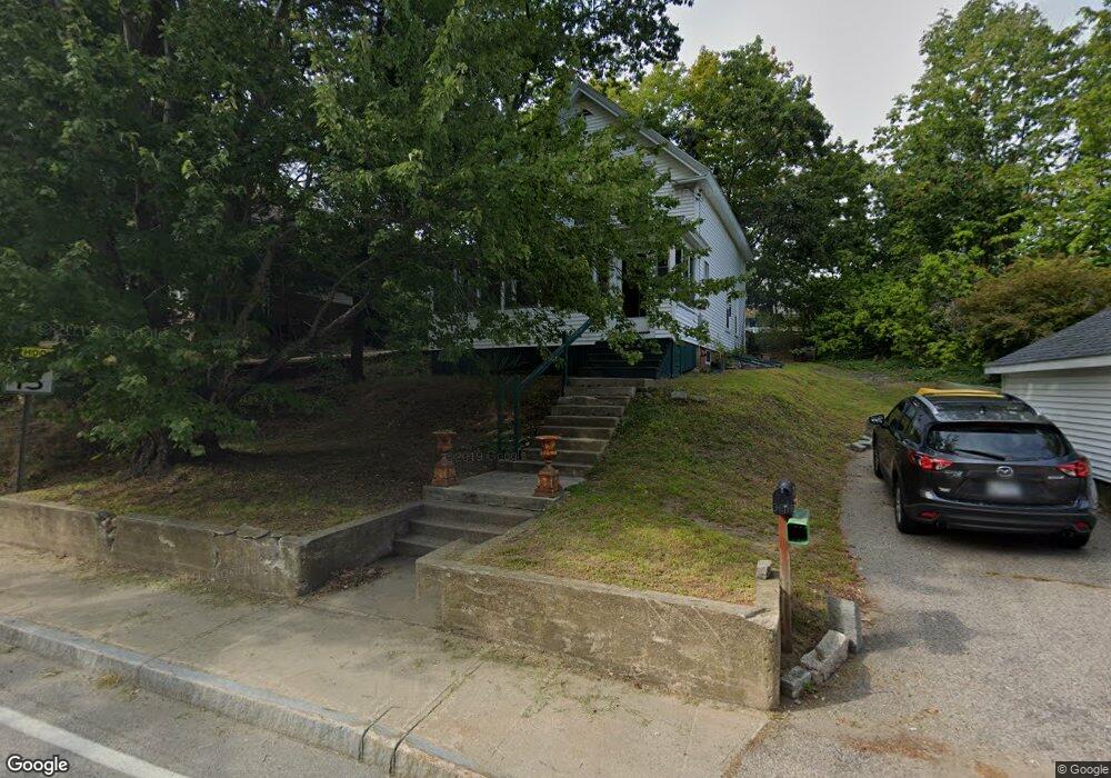
45 Whipple Rd Kittery, ME 03904
Estimated Value: $538,028 - $641,000
3
Beds
2
Baths
1,424
Sq Ft
$412/Sq Ft
Est. Value
About This Home
This home is located at 45 Whipple Rd, Kittery, ME 03904 and is currently estimated at $586,757, approximately $412 per square foot. 45 Whipple Rd is a home with nearby schools including Shapleigh School, Horace Mitchell Primary School, and Robert W Traip Academy.
Ownership History
Date
Name
Owned For
Owner Type
Purchase Details
Closed on
Feb 26, 2018
Sold by
Burnham Carleton E
Bought by
Driscoll Realty Inc
Current Estimated Value
Home Financials for this Owner
Home Financials are based on the most recent Mortgage that was taken out on this home.
Original Mortgage
$375,000
Interest Rate
3.99%
Mortgage Type
Purchase Money Mortgage
Create a Home Valuation Report for This Property
The Home Valuation Report is an in-depth analysis detailing your home's value as well as a comparison with similar homes in the area
Home Values in the Area
Average Home Value in this Area
Purchase History
| Date | Buyer | Sale Price | Title Company |
|---|---|---|---|
| Driscoll Realty Inc | -- | -- |
Source: Public Records
Mortgage History
| Date | Status | Borrower | Loan Amount |
|---|---|---|---|
| Closed | Driscoll Realty Inc | $375,000 |
Source: Public Records
Tax History Compared to Growth
Tax History
| Year | Tax Paid | Tax Assessment Tax Assessment Total Assessment is a certain percentage of the fair market value that is determined by local assessors to be the total taxable value of land and additions on the property. | Land | Improvement |
|---|---|---|---|---|
| 2024 | $4,391 | $309,200 | $163,800 | $145,400 |
| 2023 | $4,208 | $309,200 | $163,800 | $145,400 |
| 2022 | $4,168 | $309,200 | $163,800 | $145,400 |
| 2021 | $4,020 | $309,200 | $163,800 | $145,400 |
| 2020 | $3,989 | $309,200 | $163,800 | $145,400 |
| 2019 | $3,094 | $177,800 | $55,100 | $122,700 |
| 2018 | $2,987 | $177,800 | $55,100 | $122,700 |
| 2017 | $2,934 | $177,800 | $55,100 | $122,700 |
| 2016 | $2,854 | $177,800 | $55,100 | $122,700 |
| 2015 | $2,786 | $177,800 | $55,100 | $122,700 |
| 2014 | $2,759 | $177,800 | $55,100 | $122,700 |
| 2013 | $2,706 | $177,800 | $55,100 | $122,700 |
Source: Public Records
Map
Nearby Homes
- 10-12 Pine St
- 2 Wainwright Ave
- 12 Gillis Dr Unit 3
- 205 Whipple Rd
- 165 Rogers Rd
- 8 Water St Unit 2
- 8 Water St Unit 1
- 20 Mendum Ave
- 35 Badgers Island W Unit 203
- 35 Badgers Island W Unit 301
- 35 Badgers Island W Unit 204
- 35 Badgers Island W Unit 103
- 35 Badgers Island W Unit 102
- 197 State Rd
- 100 Shepards Cove Rd Unit F204
- 100 Shepards Cove Rd Unit G204
- 1 Harbour Place Unit 4i
- 27 Oak Terrace
- 25 Oak Terrace
- 36 State St
- 43 Whipple Rd
- 5 Shapleigh Rd Unit 108
- 38 Whipple Rd
- 37 Whipple Rd
- 36 Whipple Rd Unit 1
- 36 Whipple Rd Unit 2
- 36 Whipple Rd Unit 6
- 36 Whipple Rd Unit 3
- 36 Whipple Rd Unit 5
- 52 Whipple Rd
- 57 Williams Ave
- 46 Whipple Rd
- 4 Shapleigh Rd
- 55 Williams Ave
- 56 Williams Ave
- 54 Whipple Rd
- 3 Williams Ave Unit 5
- 3 Williams Ave Unit 2
- 3 Williams Ave Unit 4
- 3 Williams Ave Unit 6