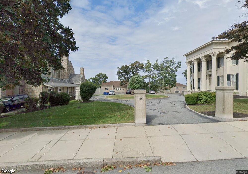
450 Rock St Unit 18 Fall River, MA 02720
Lower Highlands NeighborhoodEstimated Value: $314,000 - $413,000
2
Beds
1
Bath
1,482
Sq Ft
$232/Sq Ft
Est. Value
About This Home
This home is located at 450 Rock St Unit 18, Fall River, MA 02720 and is currently estimated at $344,227, approximately $232 per square foot. 450 Rock St Unit 18 is a home located in Bristol County with nearby schools including Mary Fonseca Elementary School, Morton Middle School, and B M C Durfee High School.
Ownership History
Date
Name
Owned For
Owner Type
Purchase Details
Closed on
Apr 12, 2021
Sold by
Fernandes Judith
Bought by
Fernandes Corey J
Current Estimated Value
Home Financials for this Owner
Home Financials are based on the most recent Mortgage that was taken out on this home.
Original Mortgage
$95,000
Outstanding Balance
$85,635
Interest Rate
2.9%
Mortgage Type
Purchase Money Mortgage
Estimated Equity
$258,592
Create a Home Valuation Report for This Property
The Home Valuation Report is an in-depth analysis detailing your home's value as well as a comparison with similar homes in the area
Home Values in the Area
Average Home Value in this Area
Purchase History
| Date | Buyer | Sale Price | Title Company |
|---|---|---|---|
| Fernandes Corey J | $100,000 | None Available |
Source: Public Records
Mortgage History
| Date | Status | Borrower | Loan Amount |
|---|---|---|---|
| Open | Fernandes Corey J | $95,000 |
Source: Public Records
Tax History Compared to Growth
Tax History
| Year | Tax Paid | Tax Assessment Tax Assessment Total Assessment is a certain percentage of the fair market value that is determined by local assessors to be the total taxable value of land and additions on the property. | Land | Improvement |
|---|---|---|---|---|
| 2025 | $3,476 | $303,600 | $0 | $303,600 |
| 2024 | $3,402 | $296,100 | $0 | $296,100 |
| 2023 | $2,418 | $197,100 | $0 | $197,100 |
| 2022 | $2,335 | $185,000 | $0 | $185,000 |
| 2021 | $2,329 | $168,400 | $0 | $168,400 |
| 2020 | $2,084 | $144,200 | $0 | $144,200 |
| 2019 | $2,022 | $138,700 | $0 | $138,700 |
| 2018 | $1,996 | $136,500 | $0 | $136,500 |
| 2017 | $1,911 | $136,500 | $0 | $136,500 |
| 2016 | $1,724 | $126,500 | $0 | $126,500 |
| 2015 | $1,655 | $126,500 | $0 | $126,500 |
| 2014 | $1,713 | $136,200 | $0 | $136,200 |
Source: Public Records
Map
Nearby Homes
- 450 Rock St Unit 1
- 450 Rock St Unit 2
- 364 High St
- 362 High St
- 360 High St
- 499 Maple St
- 337 Danforth St Unit 7
- 339 Danforth St Unit 6
- 206 Durfee St Unit 4B
- 206 Durfee St Unit 1A
- 206 Durfee St Unit 2B
- 206 Durfee St Unit 2A
- 206 Durfee St Unit 4A
- 206 Durfee St Unit 1B
- 72 Belmont St
- 381 Pine St
- 610 Walnut St
- 104 Grove St
- 34 Danforth St
- 501 Pine St
- 450 Rock St
- 450 Rock St Unit 7
- 450 Rock St Unit 6
- 450 Rock St Unit 5
- 450 Rock St Unit 4
- 450 Rock St Unit 3
- 450 Rock St Unit 19
- 450 Rock St Unit 17
- 450 Rock St Unit 16
- 450 Rock St Unit 15
- 450 Rock St Unit 14
- 450 Rock St Unit 13
- 450 Rock St Unit 12
- 450 Rock St Unit 11
- 450 Rock St Unit 10
- 450 Rock St Unit 9
- 450 Rock St Unit 8
- 450 Rock St Unit 191
- 450 Rock St Unit 19-2
- 414 Rock St