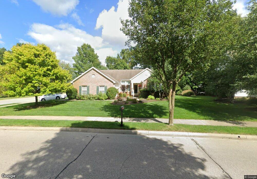
450 Salisbury Dr Powell, OH 43065
Estimated Value: $551,000 - $606,000
3
Beds
2
Baths
2,246
Sq Ft
$259/Sq Ft
Est. Value
About This Home
This home is located at 450 Salisbury Dr, Powell, OH 43065 and is currently estimated at $580,909, approximately $258 per square foot. 450 Salisbury Dr is a home located in Delaware County with nearby schools including Tyler Run Elementary School, Olentangy Liberty Middle School, and Olentangy Liberty High School.
Ownership History
Date
Name
Owned For
Owner Type
Purchase Details
Closed on
Jul 15, 2002
Sold by
M/I Schottenstein Homes
Bought by
Dorstewitz Bruce C and Dorstewitz Madeline M
Current Estimated Value
Home Financials for this Owner
Home Financials are based on the most recent Mortgage that was taken out on this home.
Original Mortgage
$200,000
Interest Rate
6.82%
Mortgage Type
New Conventional
Create a Home Valuation Report for This Property
The Home Valuation Report is an in-depth analysis detailing your home's value as well as a comparison with similar homes in the area
Home Values in the Area
Average Home Value in this Area
Purchase History
| Date | Buyer | Sale Price | Title Company |
|---|---|---|---|
| Dorstewitz Bruce C | $295,190 | -- |
Source: Public Records
Mortgage History
| Date | Status | Borrower | Loan Amount |
|---|---|---|---|
| Previous Owner | Dorstewitz Bruce C | $200,000 |
Source: Public Records
Tax History
| Year | Tax Paid | Tax Assessment Tax Assessment Total Assessment is a certain percentage of the fair market value that is determined by local assessors to be the total taxable value of land and additions on the property. | Land | Improvement |
|---|---|---|---|---|
| 2024 | $8,751 | $176,820 | $38,780 | $138,040 |
| 2023 | $8,819 | $176,820 | $38,780 | $138,040 |
| 2022 | $8,007 | $129,440 | $23,910 | $105,530 |
| 2021 | $8,145 | $129,440 | $23,910 | $105,530 |
| 2020 | $8,174 | $129,440 | $23,910 | $105,530 |
| 2019 | $6,982 | $115,680 | $23,910 | $91,770 |
| 2018 | $7,063 | $115,680 | $23,910 | $91,770 |
| 2017 | $7,112 | $106,890 | $19,600 | $87,290 |
| 2016 | $6,956 | $106,890 | $19,600 | $87,290 |
| 2015 | $6,329 | $106,890 | $19,600 | $87,290 |
| 2014 | $6,414 | $106,890 | $19,600 | $87,290 |
| 2013 | $6,234 | $101,960 | $19,600 | $82,360 |
Source: Public Records
Map
Nearby Homes
- 184 Stamford Dr
- 371 Vinwood Ln
- 257 Wagon Trail S
- 1937 Liberty St
- 471 Commons Dr Unit 471
- 120 S Liberty St
- 3326 Brentwood Ct
- 10341 Sawmill Rd
- 10339 Sawmill Rd
- 293 Murphy's Green
- 11 Murphys View Place
- 3954 Delwood Dr
- 466 Charles Spring Dr Unit 466
- 104 Encore Park Bend S
- 116 Encore Park Bend S
- 116 Encore Park Bend
- 92 Barrington Place
- 1992 Edmunds Ct
- 130 Barrington Place
- 83 Forest Ridge Ct
- 460 Salisbury Dr
- 457 Sunridge Dr
- 469 Sunridge Dr
- 477 Sunridge Dr
- 422 Sunridge Dr
- 435 Stream Isle Dr
- 432 Sunridge Dr
- 180 Timber Oak Dr
- 442 Sunridge Dr
- 174 Timber Oak Dr
- 452 Sunridge Dr
- 447 Stream Isle Dr
- 462 Sunridge Dr
- 468 Sunridge Dr
- 166 Timber Oak Dr
- 482 Stream Isle Dr
- 459 Stream Isle Dr
- 484 Sunridge Dr
- 474 Bantry St
- 491 Salisbury Dr
Your Personal Tour Guide
Ask me questions while you tour the home.