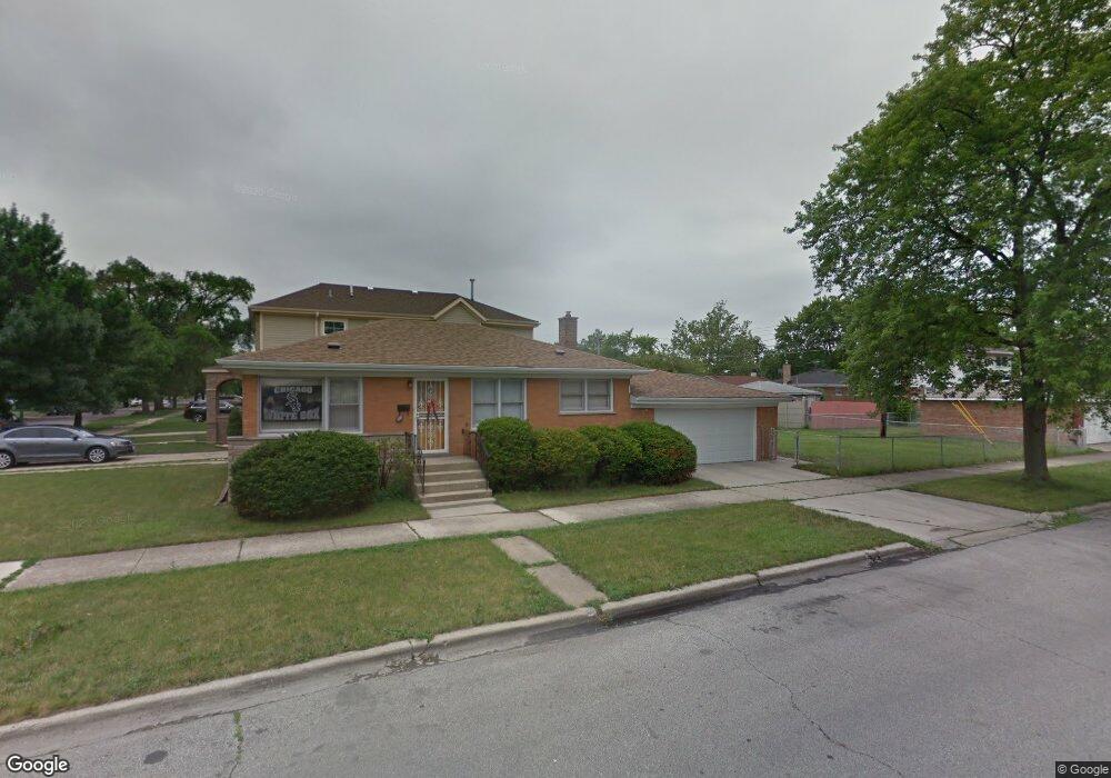
4501 W 77th Place Chicago, IL 60652
Scottsdale NeighborhoodEstimated Value: $247,000 - $286,207
2
Beds
1
Bath
936
Sq Ft
$291/Sq Ft
Est. Value
About This Home
This home is located at 4501 W 77th Place, Chicago, IL 60652 and is currently estimated at $272,302, approximately $290 per square foot. 4501 W 77th Place is a home located in Cook County with nearby schools including Stevenson Elementary School, Bogan Computer Technical High School, and St Bede-Venerable School.
Ownership History
Date
Name
Owned For
Owner Type
Purchase Details
Closed on
Aug 6, 2019
Sold by
Hernadez Jose and Hernadez Sheridan
Bought by
Seem Group Llc
Current Estimated Value
Purchase Details
Closed on
Aug 23, 1996
Sold by
First National Bank Of Evergreen Park
Bought by
Hernandez Jose
Purchase Details
Closed on
Jun 16, 1994
Sold by
Broderick Jane E
Bought by
First National Bank Of Evergreen Park
Create a Home Valuation Report for This Property
The Home Valuation Report is an in-depth analysis detailing your home's value as well as a comparison with similar homes in the area
Home Values in the Area
Average Home Value in this Area
Purchase History
| Date | Buyer | Sale Price | Title Company |
|---|---|---|---|
| Seem Group Llc | $134,000 | None Available | |
| Hernandez Jose | $116,500 | -- | |
| First National Bank Of Evergreen Park | -- | -- |
Source: Public Records
Tax History Compared to Growth
Tax History
| Year | Tax Paid | Tax Assessment Tax Assessment Total Assessment is a certain percentage of the fair market value that is determined by local assessors to be the total taxable value of land and additions on the property. | Land | Improvement |
|---|---|---|---|---|
| 2024 | $4,667 | $23,000 | $3,276 | $19,724 |
| 2023 | $4,551 | $22,000 | $4,095 | $17,905 |
| 2022 | $4,551 | $22,000 | $4,095 | $17,905 |
| 2021 | $4,424 | $22,000 | $4,095 | $17,905 |
| 2020 | $3,060 | $13,647 | $4,095 | $9,552 |
| 2019 | $2,407 | $15,334 | $4,095 | $11,239 |
| 2018 | $2,366 | $15,334 | $4,095 | $11,239 |
| 2017 | $2,209 | $13,569 | $3,549 | $10,020 |
| 2016 | $2,232 | $13,569 | $3,549 | $10,020 |
| 2015 | $2,020 | $13,569 | $3,549 | $10,020 |
| 2014 | $1,919 | $12,832 | $3,276 | $9,556 |
| 2013 | $1,871 | $12,832 | $3,276 | $9,556 |
Source: Public Records
Map
Nearby Homes
- 7746 S Kolmar Ave
- 7817 S Kenton Ave
- 4350 W Ford City Dr Unit B1402
- 7715 S Kilpatrick Ave
- 4300 W Ford City Dr Unit A1301
- 7704 S Kilpatrick Ave
- 7917 S Kostner Ave
- 4222 W 77th St Unit 204
- 4222 W 77th St Unit 202
- 7958 S Knox Ave
- 7964 S Knox Ave
- 4223 W 76th St Unit 204
- 8001 S Kilpatrick Ave
- 8053 S Kenton Ave
- 7964 S Tripp Ave
- 8132 S Kilbourn Ave
- 4327 W 81st St
- 8100 S Kildare Ave
- 4263 W 81st St
- 7714 Lavergne Ave
- 7720 S Kilbourn Ave
- 7724 S Kilbourn Ave
- 7730 S Kilbourn Ave
- 7717 S Kolmar Ave
- 7721 S Kolmar Ave
- 4510 W 77th Place
- 7725 S Kolmar Ave
- 4514 W 77th Place
- 7734 S Kilbourn Ave
- 4500 W 77th Place
- 4518 W 77th Place
- 7731 S Kolmar Ave
- 4462 W 77th Place
- 7717 S Kilbourn Ave
- 4522 W 77th Place
- 7721 S Kilbourn Ave
- 7738 S Kilbourn Ave
- 7735 S Kolmar Ave
- 4458 W 77th Place
- 7729 S Kilbourn Ave