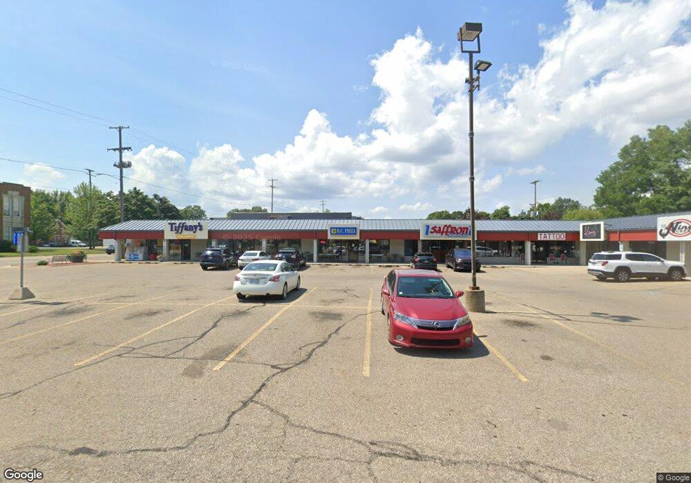
4504 W Main St Kalamazoo, MI 49006
Westwood NeighborhoodEstimated Value: $1,035,255
--
Bed
2
Baths
4,128
Sq Ft
$251/Sq Ft
Est. Value
About This Home
This home is located at 4504 W Main St, Kalamazoo, MI 49006 and is currently estimated at $1,035,255, approximately $250 per square foot. 4504 W Main St is a home located in Kalamazoo County with nearby schools including King-Westwood Elementary School, Hillside Middle School, and Kalamazoo Central High School.
Ownership History
Date
Name
Owned For
Owner Type
Purchase Details
Closed on
Aug 31, 2015
Sold by
Benipal Enterprises Llc
Bought by
Westwood Plaza Llc
Current Estimated Value
Purchase Details
Closed on
Sep 30, 2014
Sold by
Westwood Isles Llc
Bought by
Benipal Enterprises Llc
Home Financials for this Owner
Home Financials are based on the most recent Mortgage that was taken out on this home.
Original Mortgage
$243,345
Interest Rate
4.21%
Mortgage Type
Future Advance Clause Open End Mortgage
Create a Home Valuation Report for This Property
The Home Valuation Report is an in-depth analysis detailing your home's value as well as a comparison with similar homes in the area
Home Values in the Area
Average Home Value in this Area
Purchase History
| Date | Buyer | Sale Price | Title Company |
|---|---|---|---|
| Westwood Plaza Llc | -- | Chicago Title Company | |
| Benipal Enterprises Llc | -- | Nations Title Agency |
Source: Public Records
Mortgage History
| Date | Status | Borrower | Loan Amount |
|---|---|---|---|
| Previous Owner | Benipal Enterprises Llc | $243,345 |
Source: Public Records
Tax History Compared to Growth
Tax History
| Year | Tax Paid | Tax Assessment Tax Assessment Total Assessment is a certain percentage of the fair market value that is determined by local assessors to be the total taxable value of land and additions on the property. | Land | Improvement |
|---|---|---|---|---|
| 2025 | $11,160 | $196,800 | $0 | $0 |
| 2024 | $4,625 | $194,900 | $0 | $0 |
| 2023 | $4,408 | $173,900 | $0 | $0 |
| 2022 | $10,122 | $184,700 | $0 | $0 |
| 2021 | $9,790 | $161,800 | $0 | $0 |
| 2020 | $9,605 | $162,800 | $0 | $0 |
| 2019 | $9,250 | $146,800 | $0 | $0 |
| 2018 | $9,037 | $145,500 | $0 | $0 |
| 2017 | $9,291 | $142,600 | $0 | $0 |
| 2016 | $9,291 | $129,900 | $0 | $0 |
| 2015 | $9,291 | $129,700 | $0 | $0 |
| 2014 | $9,291 | $130,200 | $0 | $0 |
Source: Public Records
Map
Nearby Homes
- 806 Northampton Rd
- 4164 Corvo Trace
- 4135 Corvo Trace
- 4007 Corvo Trace
- 3503 Devonshire Ave
- 4047 Enclave Way Unit 1
- 4065 Enclave Way
- 1361 Cherokee St
- 3317 Cranbrook Ave
- 3421 Huron Ave
- 4146 Corvo
- 3304 Cranbrook Ave
- 4163 Corvo Trace
- 3526 Alianca Terrace
- 5399 Penrose Ln
- 1113 Nichols Rd
- 194 Hickory Valley Dr
- 251 Hickory Valley Dr
- 253 Hickory Valley Dr
- 325 N Kendall Ave
- 4504 W Main St Unit 2
- 4504 W Main St Unit 1
- 4502 W Main St Unit 22
- 4502 W Main St Unit 20
- 4508 W Main St
- 614 Darby Ln
- 43034 Chelten Ave
- 41294 Chelten Ave
- 42024 Chelten Ave
- 43302 Chelten Ave
- 609 Piccadilly Rd
- 615 Piccadilly Rd
- 600 Darby Ln
- 4408 W Main St
- 612 Piccadilly Rd
- 620 Darby Ln
- 4602 W Main St Unit 9
- 621 Piccadilly Rd
- 4604 W Main St
- 619 Darby Ln