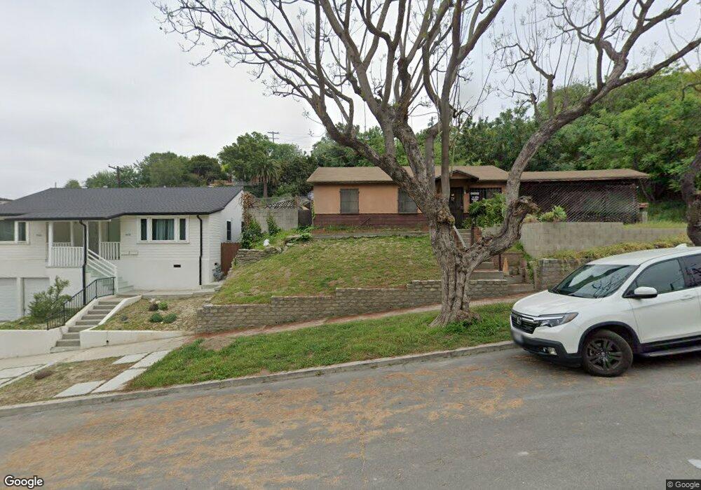
4505 Carter Dr Los Angeles, CA 90032
El Sereno NeighborhoodEstimated Value: $785,000 - $932,000
3
Beds
1
Bath
1,369
Sq Ft
$618/Sq Ft
Est. Value
About This Home
This home is located at 4505 Carter Dr, Los Angeles, CA 90032 and is currently estimated at $846,609, approximately $618 per square foot. 4505 Carter Dr is a home located in Los Angeles County with nearby schools including Farmdale Elementary, El Sereno Middle School, and Abraham Lincoln High School.
Ownership History
Date
Name
Owned For
Owner Type
Purchase Details
Closed on
Feb 10, 1999
Sold by
Gonzales Maria I and Jones Raymond A
Bought by
Jones Raymond A and Gonzales Jones Maria L
Current Estimated Value
Home Financials for this Owner
Home Financials are based on the most recent Mortgage that was taken out on this home.
Original Mortgage
$117,000
Interest Rate
6.78%
Create a Home Valuation Report for This Property
The Home Valuation Report is an in-depth analysis detailing your home's value as well as a comparison with similar homes in the area
Home Values in the Area
Average Home Value in this Area
Purchase History
| Date | Buyer | Sale Price | Title Company |
|---|---|---|---|
| Jones Raymond A | -- | Gateway Title Company |
Source: Public Records
Mortgage History
| Date | Status | Borrower | Loan Amount |
|---|---|---|---|
| Closed | Jones Raymond A | $117,000 |
Source: Public Records
Tax History Compared to Growth
Tax History
| Year | Tax Paid | Tax Assessment Tax Assessment Total Assessment is a certain percentage of the fair market value that is determined by local assessors to be the total taxable value of land and additions on the property. | Land | Improvement |
|---|---|---|---|---|
| 2025 | $2,064 | $158,038 | $74,977 | $83,061 |
| 2024 | $2,064 | $154,940 | $73,507 | $81,433 |
| 2023 | $2,027 | $151,903 | $72,066 | $79,837 |
| 2022 | $1,938 | $148,925 | $70,653 | $78,272 |
| 2021 | $1,907 | $146,006 | $69,268 | $76,738 |
| 2019 | $1,852 | $141,677 | $67,214 | $74,463 |
| 2018 | $1,777 | $138,900 | $65,897 | $73,003 |
| 2016 | $1,683 | $133,508 | $63,339 | $70,169 |
| 2015 | $1,659 | $131,503 | $62,388 | $69,115 |
| 2014 | $1,671 | $128,928 | $61,166 | $67,762 |
Source: Public Records
Map
Nearby Homes
- 4540 Cato Way
- 3215 Betty Dr
- 4392 O Neill St
- 4365 O Neill St
- 0 O Neill St
- 4534 Amber Place
- 4750 Templeton St Unit 1211
- 4755 Templeton St Unit 2117
- 4003 N Drysdale
- 3544 Yorba St
- 3306 Minto Ct
- 3303 Paola Ave
- 4665 Huntington Dr N
- 4669 Huntington Dr N
- 4392 E Rose Hill Dr
- 2929 N Amethyst St
- 4682 Paula St
- 3113 N Eastern Ave
- 4376 W Rose Hill Dr
- 3414 Amethyst St
- 4458 Bowman Blvd
- 4458 4460 Bowman Blvd
- 4466 Bowman Blvd
- 4536 Carter Dr
- 4470 Bowman Blvd
- 9 Kenneth Dr
- 0 Kenneth Dr
- 0 Kenneth Dr Unit WS15083108
- 0 Kenneth Dr Unit 317006630
- 0 Kenneth Dr Unit 317006627
- 0 Kenneth Dr Unit 317006603
- 4461 Bowman Blvd Unit 4463
- 4461 Bowman Blvd Unit A
- 4440 Verdemour Ave
- 4531 Carter Dr
- 4435 Bowman Blvd
- 4442 Verdemour Ave
- 4467 Bowman Blvd
- 4476 Bowman Blvd
- 4431 Bowman Blvd