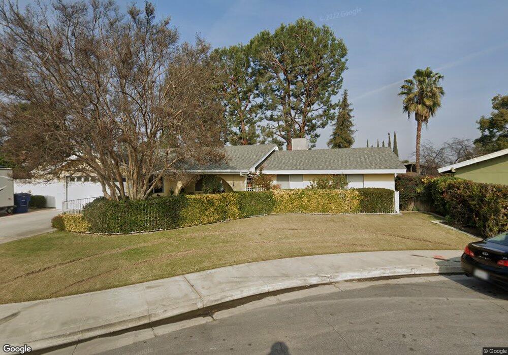
4508 Perris Way Bakersfield, CA 93309
Park Stockdale NeighborhoodEstimated Value: $360,284 - $388,000
3
Beds
2
Baths
1,764
Sq Ft
$210/Sq Ft
Est. Value
About This Home
This home is located at 4508 Perris Way, Bakersfield, CA 93309 and is currently estimated at $371,071, approximately $210 per square foot. 4508 Perris Way is a home located in Kern County with nearby schools including Caroline Harris Elementary School, Curran Middle School, and Bakersfield High School.
Ownership History
Date
Name
Owned For
Owner Type
Purchase Details
Closed on
Mar 18, 1999
Sold by
Kreutzer Delores L Living Tr and Louise Delores
Bought by
Ramirez Pedro V and Ramirez Thelma J
Current Estimated Value
Home Financials for this Owner
Home Financials are based on the most recent Mortgage that was taken out on this home.
Original Mortgage
$83,200
Outstanding Balance
$20,636
Interest Rate
7.04%
Estimated Equity
$350,435
Create a Home Valuation Report for This Property
The Home Valuation Report is an in-depth analysis detailing your home's value as well as a comparison with similar homes in the area
Home Values in the Area
Average Home Value in this Area
Purchase History
| Date | Buyer | Sale Price | Title Company |
|---|---|---|---|
| Ramirez Pedro V | $104,000 | Chicago Title Co |
Source: Public Records
Mortgage History
| Date | Status | Borrower | Loan Amount |
|---|---|---|---|
| Open | Ramirez Pedro V | $83,200 |
Source: Public Records
Tax History
| Year | Tax Paid | Tax Assessment Tax Assessment Total Assessment is a certain percentage of the fair market value that is determined by local assessors to be the total taxable value of land and additions on the property. | Land | Improvement |
|---|---|---|---|---|
| 2025 | $2,892 | $196,501 | $39,180 | $157,321 |
| 2024 | $2,828 | $192,649 | $38,412 | $154,237 |
| 2023 | $2,828 | $188,873 | $37,659 | $151,214 |
| 2022 | $2,761 | $185,171 | $36,921 | $148,250 |
| 2021 | $2,647 | $181,542 | $36,198 | $145,344 |
| 2020 | $2,610 | $179,681 | $35,827 | $143,854 |
| 2019 | $2,557 | $179,681 | $35,827 | $143,854 |
| 2018 | $2,497 | $172,707 | $34,437 | $138,270 |
| 2017 | $2,481 | $169,321 | $33,762 | $135,559 |
| 2016 | $2,274 | $166,002 | $33,100 | $132,902 |
| 2015 | $2,260 | $163,510 | $32,603 | $130,907 |
| 2014 | $2,185 | $160,309 | $31,965 | $128,344 |
Source: Public Records
Map
Nearby Homes
- 9 Dunlap St
- 207 N Stine Rd
- 5400 Dunsmuir Rd Unit 23
- 3800 Stockdale Hwy Unit 2
- 217 Garnsey Ave
- 4600 Randy Ave
- 402 Westwood St
- 4425 Charter Oaks Ave
- 360 Garnsey Ave
- 4714 Frazier Ave
- 905 Charter Oaks Ct
- 513 Prosser Ave
- 312 Real Rd
- 4212 Charter Oaks Ave
- 619 Palo Verde St
- 340 Western Dr
- 3820 Apache Ave
- 4629 Fishering Dr
- 3301 Bank St
- 240 S Real Rd
- 4512 Perris Way
- 4509 La Mirada Dr
- 4504 Perris Way
- 4513 La Mirada Dr
- 4505 La Mirada Dr
- 4601 La Mirada Dr
- 4600 Perris Way
- 4509 Perris Way
- 4501 La Mirada Dr
- 4513 Perris Way
- 0 La Mirada Dr
- 4501 Perris Way
- 4605 La Mirada Dr
- 4601 Perris Way
- 4417 La Mirada Dr
- 4604 Perris Way
- 4604 Stanton Way
- 4609 La Mirada Dr
- 4608 Stanton Way
- 4508 La Mirada Dr
Your Personal Tour Guide
Ask me questions while you tour the home.