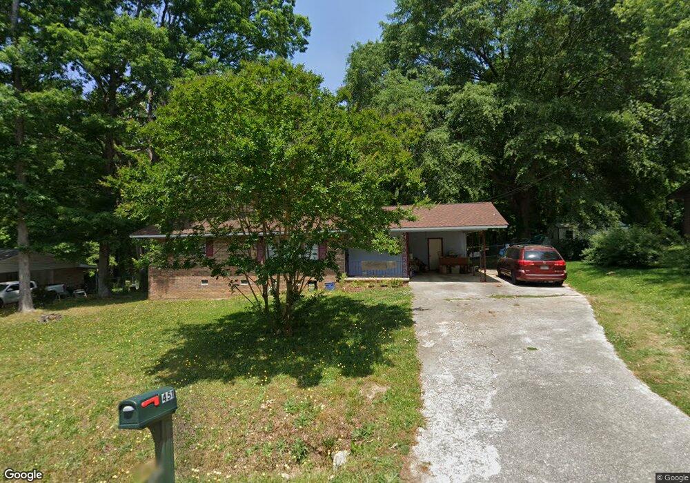
451 Andrews Rd Toccoa, GA 30577
Estimated Value: $171,599 - $211,000
3
Beds
2
Baths
1,120
Sq Ft
$169/Sq Ft
Est. Value
About This Home
This home is located at 451 Andrews Rd, Toccoa, GA 30577 and is currently estimated at $189,150, approximately $168 per square foot. 451 Andrews Rd is a home located in Stephens County with nearby schools including Stephens County High School.
Ownership History
Date
Name
Owned For
Owner Type
Purchase Details
Closed on
Jun 16, 2003
Bought by
Chase David R and Chase Angela D
Current Estimated Value
Purchase Details
Closed on
Oct 12, 2000
Bought by
<Buyer Info Not Present>
Purchase Details
Closed on
Aug 1, 1993
Bought by
<Buyer Info Not Present>
Purchase Details
Closed on
Mar 1, 1987
Bought by
<Buyer Info Not Present>
Create a Home Valuation Report for This Property
The Home Valuation Report is an in-depth analysis detailing your home's value as well as a comparison with similar homes in the area
Purchase History
| Date | Buyer | Sale Price | Title Company |
|---|---|---|---|
| Chase David R | $69,200 | -- | |
| <Buyer Info Not Present> | -- | -- | |
| <Buyer Info Not Present> | $61,200 | -- | |
| <Buyer Info Not Present> | $30,500 | -- | |
| <Buyer Info Not Present> | $35,700 | -- |
Source: Public Records
Tax History
| Year | Tax Paid | Tax Assessment Tax Assessment Total Assessment is a certain percentage of the fair market value that is determined by local assessors to be the total taxable value of land and additions on the property. | Land | Improvement |
|---|---|---|---|---|
| 2025 | $1,325 | $44,640 | $2,268 | $42,372 |
| 2024 | $1,056 | $29,617 | $2,268 | $27,349 |
| 2023 | $974 | $27,536 | $2,268 | $25,268 |
| 2022 | $776 | $26,066 | $2,268 | $23,798 |
| 2021 | $731 | $23,365 | $2,268 | $21,097 |
| 2020 | $757 | $23,956 | $2,268 | $21,688 |
| 2019 | $760 | $23,956 | $2,268 | $21,688 |
| 2018 | $760 | $23,956 | $2,268 | $21,688 |
| 2017 | $772 | $23,956 | $2,268 | $21,688 |
| 2016 | $760 | $23,956 | $2,268 | $21,688 |
| 2015 | $790 | $23,778 | $2,268 | $21,509 |
| 2014 | $803 | $23,778 | $2,268 | $21,510 |
| 2013 | -- | $24,176 | $2,268 | $21,908 |
Source: Public Records
Map
Nearby Homes
- 475 Hilltop Way
- 189 Julia Ln
- 820 Collier Rd
- 372 Hilltop Way
- 926 Skyline Dr
- 321 Quail Forest Cir
- 43 Sycamore Dr
- 103 Old Liberty Hill Rd
- 526 Poplar St
- 104-110 White Pine Rd
- 0 Valley Dr Unit 10600268
- 1203 Mize Rd
- 0 Stephen Dr Unit 10662201
- 151 Richardson St
- 253 Stancil Dr
- 229 Hilltop Ln
- 1562 Liberty Hill Rd
- 122 King St
- 551 P S Rd
- 27 Hilltop Ln
- 431 Andrews Rd
- 469 Andrews Rd
- 30 Andrews Place
- 413 Andrews Rd
- 487 Andrews Rd
- 448 Andrews Rd
- 686 Hilltop Way
- 466 Andrews Rd
- 430 Andrews Rd
- 488 Andrews Rd
- 654 Hilltop Way
- 33 Andrews Place
- 408 Andrews Rd
- 29 Andrews Place
- 517 Andrews Rd
- 311 Andrews Rd
- 638 Hilltop Way
- 689 Hilltop Way
- 516 Andrews Rd
- 277 Andrews Rd
Your Personal Tour Guide
Ask me questions while you tour the home.