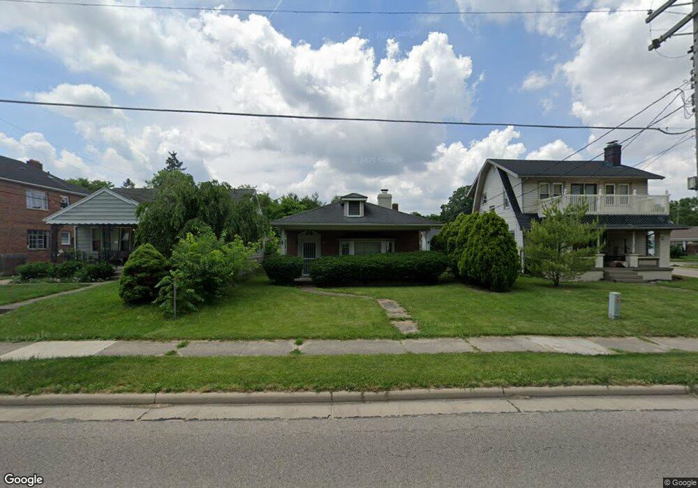
451 N Main St Franklin, OH 45005
Estimated Value: $143,000 - $193,000
3
Beds
3
Baths
1,508
Sq Ft
$112/Sq Ft
Est. Value
About This Home
This home is located at 451 N Main St, Franklin, OH 45005 and is currently estimated at $169,024, approximately $112 per square foot. 451 N Main St is a home located in Warren County with nearby schools including Franklin High School.
Ownership History
Date
Name
Owned For
Owner Type
Purchase Details
Closed on
Oct 8, 2003
Sold by
Whisman Tim and Whisman Rebecca L
Bought by
Morris Charles S and Morris Pamela H
Current Estimated Value
Purchase Details
Closed on
Oct 6, 2003
Sold by
Fletcher James M
Bought by
Whisman Tim
Purchase Details
Closed on
Nov 13, 1990
Sold by
Morris Mildred and Morris Mildred
Bought by
Fletcher and Fletcher James M
Purchase Details
Closed on
Sep 14, 1983
Sold by
Morris Morris and Morris Emory
Bought by
Morris Morris and Morris Mildred
Create a Home Valuation Report for This Property
The Home Valuation Report is an in-depth analysis detailing your home's value as well as a comparison with similar homes in the area
Home Values in the Area
Average Home Value in this Area
Purchase History
| Date | Buyer | Sale Price | Title Company |
|---|---|---|---|
| Morris Charles S | -- | -- | |
| Whisman Tim | $60,000 | First Central Land Title Age | |
| Fletcher | $32,500 | -- | |
| Morris Morris | -- | -- |
Source: Public Records
Tax History
| Year | Tax Paid | Tax Assessment Tax Assessment Total Assessment is a certain percentage of the fair market value that is determined by local assessors to be the total taxable value of land and additions on the property. | Land | Improvement |
|---|---|---|---|---|
| 2025 | $2,458 | $43,980 | $11,360 | $32,620 |
| 2024 | $2,458 | $43,980 | $11,360 | $32,620 |
| 2023 | $1,951 | $33,180 | $6,440 | $26,740 |
| 2022 | $1,917 | $33,180 | $6,440 | $26,740 |
| 2021 | $1,826 | $33,180 | $6,440 | $26,740 |
| 2020 | $1,660 | $26,334 | $5,114 | $21,221 |
| 2019 | $1,528 | $26,334 | $5,114 | $21,221 |
| 2018 | $1,338 | $26,334 | $5,114 | $21,221 |
| 2017 | $1,575 | $24,892 | $4,911 | $19,982 |
| 2016 | $1,602 | $24,892 | $4,911 | $19,982 |
| 2015 | $1,602 | $24,892 | $4,911 | $19,982 |
| 2014 | $820 | $24,890 | $4,910 | $19,980 |
| 2013 | $1,250 | $28,800 | $5,680 | $23,120 |
Source: Public Records
Map
Nearby Homes
- 413 N Main St
- 453 N Main St
- 411 N Main St
- 405 N Main St
- 106 Warren Ave
- 501 N Main St
- 101 W Bryant Ave
- 99 W Bryant Ave
- 108 Warren Ave
- 107 W Bryant Ave
- 107 Warren Ave
- 110 Warren Ave
- 109 Warren Ave
- 311 N Main St
- 515 N Main St
- 116 Warren Ave
- 111 Warren Ave
- 117 W Bryant Ave
- 31 Arlington Dr
- 31 Arlington Ave
Your Personal Tour Guide
Ask me questions while you tour the home.