4510 Howe Dr NW Hackensack, MN 56452
Estimated Value: $1,298,000 - $1,747,668
4
Beds
4
Baths
5,920
Sq Ft
$255/Sq Ft
Est. Value
About This Home
This home is located at 4510 Howe Dr NW, Hackensack, MN 56452 and is currently estimated at $1,509,417, approximately $254 per square foot. 4510 Howe Dr NW is a home located in Cass County with nearby schools including WHA Elementary School and Walker Hackensack Akeley High School.
Ownership History
Date
Name
Owned For
Owner Type
Purchase Details
Closed on
Mar 1, 2023
Sold by
Spence Diana and Spence Richard
Bought by
Flakus Michael and Flakus Jacqueline
Current Estimated Value
Home Financials for this Owner
Home Financials are based on the most recent Mortgage that was taken out on this home.
Original Mortgage
$950,000
Outstanding Balance
$920,282
Interest Rate
6.15%
Mortgage Type
New Conventional
Estimated Equity
$589,135
Purchase Details
Closed on
Feb 28, 2019
Sold by
Patricia M Michel T
Bought by
Spence Richard D and Spence Diane M
Purchase Details
Closed on
Sep 4, 2015
Sold by
American Federal Bank
Bought by
The Patricia M Trust
Purchase Details
Closed on
Sep 30, 2005
Sold by
Fisher James E and Fisher Edith M
Bought by
Leisuretime Land Co
Home Financials for this Owner
Home Financials are based on the most recent Mortgage that was taken out on this home.
Original Mortgage
$360,000
Interest Rate
5.93%
Mortgage Type
Future Advance Clause Open End Mortgage
Create a Home Valuation Report for This Property
The Home Valuation Report is an in-depth analysis detailing your home's value as well as a comparison with similar homes in the area
Purchase History
| Date | Buyer | Sale Price | Title Company |
|---|---|---|---|
| Flakus Michael | $1,300,000 | -- | |
| Spence Richard D | $1,100,000 | Leer Title | |
| The Patricia M Trust | -- | Leer Title | |
| Leisuretime Land Co | $450,000 | Segue Title & Real Estate Se |
Source: Public Records
Mortgage History
| Date | Status | Borrower | Loan Amount |
|---|---|---|---|
| Open | Flakus Michael | $950,000 | |
| Previous Owner | Leisuretime Land Co | $360,000 |
Source: Public Records
Tax History
| Year | Tax Paid | Tax Assessment Tax Assessment Total Assessment is a certain percentage of the fair market value that is determined by local assessors to be the total taxable value of land and additions on the property. | Land | Improvement |
|---|---|---|---|---|
| 2024 | $7,964 | $1,500,600 | $318,300 | $1,182,300 |
| 2023 | $7,818 | $1,483,800 | $388,100 | $1,095,700 |
| 2022 | $7,334 | $1,483,800 | $388,100 | $1,095,700 |
| 2021 | $7,668 | $1,040,900 | $320,500 | $720,400 |
| 2020 | $7,640 | $1,039,700 | $320,500 | $719,200 |
| 2019 | $7,528 | $979,600 | $290,900 | $688,700 |
| 2018 | $1,946 | $286,600 | $286,600 | $0 |
| 2017 | $2,162 | $286,600 | $286,600 | $0 |
| 2016 | $2,206 | $0 | $0 | $0 |
| 2015 | $2,206 | $329,800 | $329,800 | $0 |
| 2014 | $2,728 | $0 | $0 | $0 |
Source: Public Records
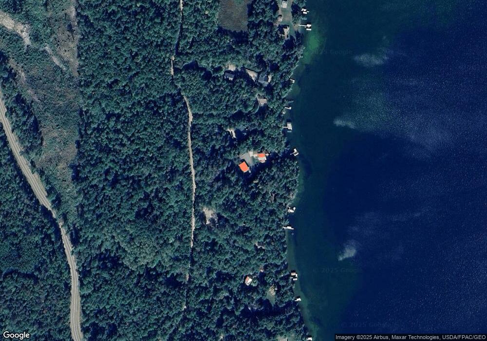
Map
Nearby Homes
- 4059 Hiram Township 9
- 4055 Forseman Point Dr NW
- TBD County Road 12
- 5568 50th St NW
- 5309 Howard Lake Rd NW
- 3403 68th Ave NW
- 5159 Rocky Ridge Rd NW
- TBD NW Miller Bay Ln
- 209 Lakeshore Dr W
- 136 1st St N
- 209 Park Ave W
- 230 Whipple Ave E
- 200 Staff St SE
- 18727 State 64
- 12031 State 64 St W
- TBD Pleasant Ave NE
- 5 County Highway 49
- 24962 Heirloom Dr
- 6828 Aurora Dr
- 185 Grand Ave
- 4518 Howe Dr NW
- 4502 Howe Dr NW
- 4494 Howe Dr NW
- 4526 Howe Dr NW
- 000 Howe-Drive-nw
- 000 Howe Dr NW
- 4482 Howe Dr NW
- TBD Howe Dr NW
- 4464 Howe Dr NW
- 4454 Howe Dr NW
- 6411 Silverweed Ln NW
- 6427 Silverweed Ln NW
- 4604 Howe Dr NW
- 4290 County 71 NW
- 4589 Howe Dr NW
- 4276 County 71 NW
- 4258 County 71 NW
- l4b2 N Golf View Dr SW
- 4254 County 71 NW
- 4422 County 71 NW
Your Personal Tour Guide
Ask me questions while you tour the home.