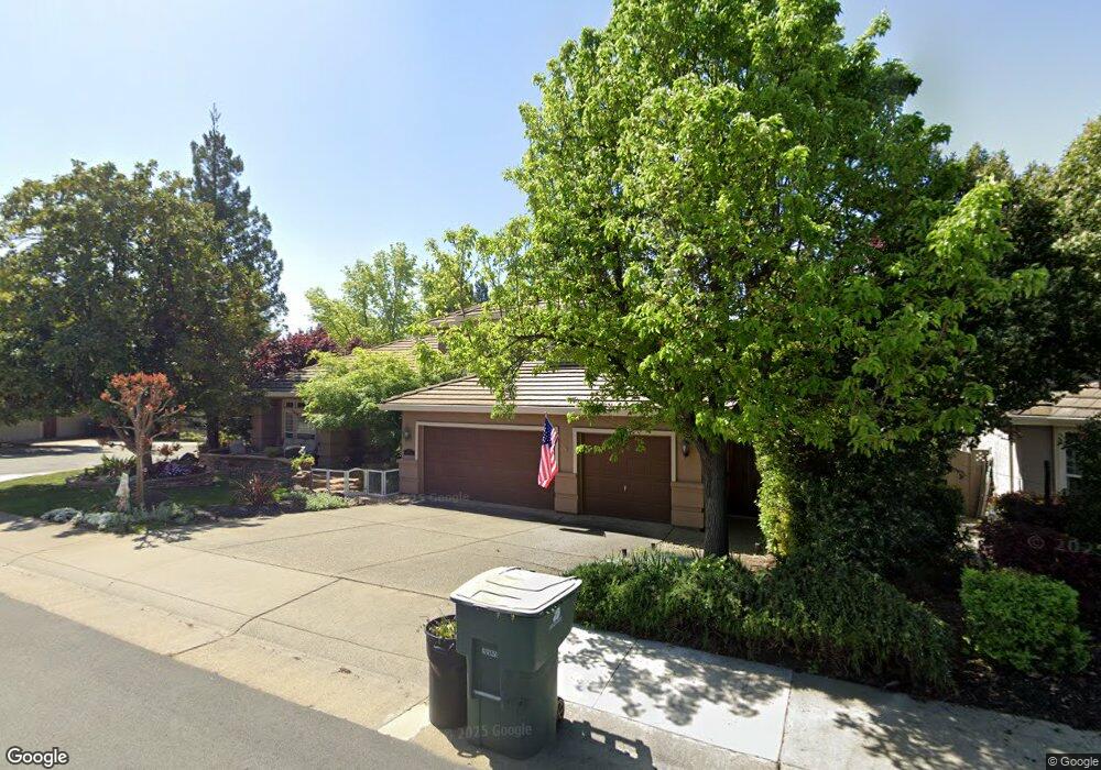
4510 Mountaingate Dr Rocklin, CA 95765
Stanford Ranch NeighborhoodEstimated Value: $784,000 - $1,043,000
4
Beds
3
Baths
2,986
Sq Ft
$308/Sq Ft
Est. Value
About This Home
This home is located at 4510 Mountaingate Dr, Rocklin, CA 95765 and is currently estimated at $918,226, approximately $307 per square foot. 4510 Mountaingate Dr is a home located in Placer County with nearby schools including Breen Elementary, Granite Oaks Middle, and Rocklin High.
Ownership History
Date
Name
Owned For
Owner Type
Purchase Details
Closed on
Aug 28, 2015
Sold by
Mcvey Thomas J and Mcvey Shawn M
Bought by
Mcvey Family Trust
Current Estimated Value
Purchase Details
Closed on
Aug 11, 1998
Sold by
Chatham Group Llc
Bought by
Mcvey Thomas J and Mcvey Shawn M
Home Financials for this Owner
Home Financials are based on the most recent Mortgage that was taken out on this home.
Original Mortgage
$256,000
Outstanding Balance
$53,546
Interest Rate
6.95%
Estimated Equity
$864,680
Purchase Details
Closed on
Sep 2, 1997
Sold by
Chatham Group Llc
Bought by
Stanford Ranch I Llc
Create a Home Valuation Report for This Property
The Home Valuation Report is an in-depth analysis detailing your home's value as well as a comparison with similar homes in the area
Home Values in the Area
Average Home Value in this Area
Purchase History
| Date | Buyer | Sale Price | Title Company |
|---|---|---|---|
| Mcvey Family Trust | -- | None Available | |
| Mcvey Thomas J | $320,000 | Placer Title Company | |
| Stanford Ranch I Llc | -- | Placer Title Company |
Source: Public Records
Mortgage History
| Date | Status | Borrower | Loan Amount |
|---|---|---|---|
| Open | Mcvey Thomas J | $256,000 |
Source: Public Records
Tax History
| Year | Tax Paid | Tax Assessment Tax Assessment Total Assessment is a certain percentage of the fair market value that is determined by local assessors to be the total taxable value of land and additions on the property. | Land | Improvement |
|---|---|---|---|---|
| 2025 | $5,937 | $534,201 | $125,404 | $408,797 |
| 2023 | $5,937 | $513,460 | $120,536 | $392,924 |
| 2022 | $5,750 | $503,393 | $118,173 | $385,220 |
| 2021 | $5,690 | $493,523 | $115,856 | $377,667 |
| 2020 | $5,682 | $488,464 | $114,669 | $373,795 |
| 2019 | $6,607 | $478,887 | $112,421 | $366,466 |
| 2018 | $6,436 | $469,498 | $110,217 | $359,281 |
| 2017 | $6,415 | $460,293 | $108,056 | $352,237 |
| 2016 | $6,235 | $451,269 | $105,938 | $345,331 |
| 2015 | $6,145 | $444,491 | $104,347 | $340,144 |
| 2014 | $6,765 | $435,785 | $102,303 | $333,482 |
Source: Public Records
Map
Nearby Homes
- 913 Rustic Elm Ct
- 4730 Stuart St
- 1360 Bear Creek Dr
- 4714 Durham Ct
- 1349 Bear Creek Dr
- 1352 Bear Creek Dr
- 1218 Buck Ridge Dr
- 3456 Hidden Ranch Loop
- 1337 Bear Creek Dr
- 5112 Stratton Ct
- 1207 Buck Ridge Dr
- 1336 Bear Creek Dr
- 4246 Shady Mills Ct
- 3648 Ramhorn Ridge Dr
- 5116 Camden Rd
- 3681 Black Oak Dr
- 4230 Shady Mills Ct
- 807 Fallen Log Ct
- 517 Desert Bloom Ct
- 4022 Legend Dr
- 4508 Mountaingate Dr
- 2401 Saint Andrews Dr
- 4506 Mountaingate Dr
- 2403 Saint Andrews Dr
- 4511 Mountaingate Dr
- 4509 Mountaingate Dr
- 4507 Mountaingate Dr
- 4513 Mountaingate Dr
- 2405 Saint Andrews Dr
- 4504 Mountaingate Dr
- 4505 Mountaingate Dr
- 4516 Mountaingate Dr
- 4515 Mountaingate Dr
- 2407 Saint Andrews Dr
- 4502 Mountaingate Dr
- 4503 Mountaingate Dr
- 2508 Knoll Ct
- 4517 Mountaingate Dr
- 2409 Saint Andrews Dr
- 2500 Knoll Ct
Your Personal Tour Guide
Ask me questions while you tour the home.