Estimated Value: $7,232,000 - $62,035,218
5
Beds
7
Baths
14,171
Sq Ft
$2,444/Sq Ft
Est. Value
About This Home
This home is located at 45101 Highway 82 Unit 45081 Highway 82, Aspen, CO 81611 and is currently estimated at $34,633,609, approximately $2,443 per square foot. 45101 Highway 82 Unit 45081 Highway 82 is a home located in Pitkin County with nearby schools including Aspen Elementary School, Aspen Middle School, and Aspen High School.
Ownership History
Date
Name
Owned For
Owner Type
Purchase Details
Closed on
Aug 14, 2023
Sold by
Christy 2017-3 Acquisition Llc and Christy 2017 Lp
Bought by
Moose Mountain Llc
Current Estimated Value
Purchase Details
Closed on
Aug 31, 2009
Sold by
Nichols Patricia W and Nichols Albert
Bought by
Snl Aspen Leaf Llc
Create a Home Valuation Report for This Property
The Home Valuation Report is an in-depth analysis detailing your home's value as well as a comparison with similar homes in the area
Home Values in the Area
Average Home Value in this Area
Purchase History
| Date | Buyer | Sale Price | Title Company |
|---|---|---|---|
| Moose Mountain Llc | -- | None Listed On Document | |
| Moose Mountain Llc | $51,000,000 | Title Company Of The Rockies | |
| Snl Aspen Leaf Llc | $12,480,000 | None Available |
Source: Public Records
Tax History Compared to Growth
Tax History
| Year | Tax Paid | Tax Assessment Tax Assessment Total Assessment is a certain percentage of the fair market value that is determined by local assessors to be the total taxable value of land and additions on the property. | Land | Improvement |
|---|---|---|---|---|
| 2024 | $70,892 | $2,445,980 | $309,080 | $2,136,900 |
| 2023 | $70,892 | $2,472,410 | $312,410 | $2,160,000 |
| 2022 | $65,787 | $2,060,100 | $267,580 | $1,792,520 |
| 2021 | $65,612 | $2,119,380 | $275,280 | $1,844,100 |
| 2020 | $55,463 | $1,786,550 | $243,820 | $1,542,730 |
| 2019 | $55,463 | $1,786,550 | $243,820 | $1,542,730 |
| 2018 | $49,578 | $1,799,040 | $245,520 | $1,553,520 |
| 2017 | $43,082 | $1,596,150 | $237,600 | $1,358,550 |
| 2016 | $37,083 | $1,347,230 | $262,680 | $1,084,550 |
| 2015 | $16,148 | $590,310 | $262,680 | $327,630 |
| 2014 | $12,653 | $451,810 | $262,680 | $189,130 |
Source: Public Records
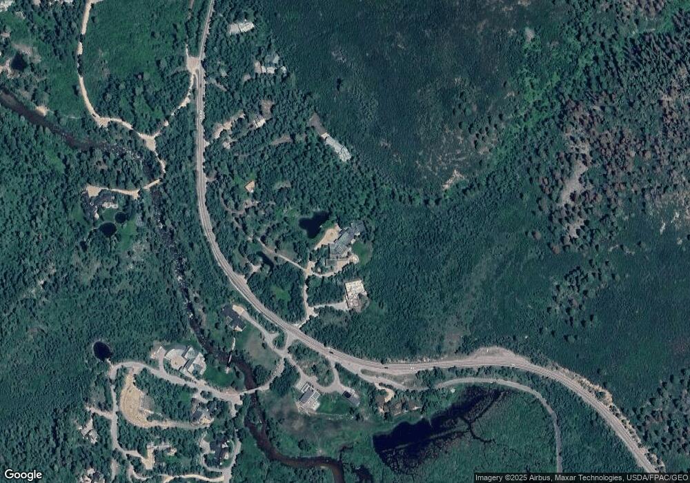
Map
Nearby Homes
- 100 Difficult Ln
- 41 Popcorn Ln
- 44481 Highway 82
- 42703 Hwy 82 Unit B
- 161 Stillwater Ln
- 184 Mountain Laurel Dr
- 602 Mountain Laurel Dr
- 2601 Midnight Mine Rd
- 552 Mountain Laurel Dr
- 1271 S Ute Ave
- 1345 Mayflower Ct
- 10 Ute Place
- 1011 Ute Ave
- 100 Park Ave
- 901 S Ute Ave
- 610 S West End St Unit D304
- 610 S West End St Unit D 206
- 610 S West End St Unit A304
- 71 & 73 Smuggler Grove Rd
- 940 Waters Ave Unit 201
- 45101 Highway 82
- 45101 Highway 82
- 45101 Highway 82
- 45081 & 45101 Co-82
- 45081 Highway 82
- 45105 Highway 82
- 45105 E Highway 82
- 44987 Highway 82
- 44989 Highway 82
- 44971 Highway 82
- 44971 Highway 82
- 9 Ullr Way
- 110 Difficult Ln
- 45184 Highway 82
- 47 Difficult Ln
- 45196 Highway 82
- 44895 Highway 82
- 41 Popcorn Ln Unit 100 & 102 Difficult
- 41 Popcorn Ln Unit , 100 & 102 Difficul
- 10 Popcorn Ln