4511 Ashton Curve Saint Paul, MN 55129
Estimated Value: $801,748 - $926,000
6
Beds
5
Baths
3,399
Sq Ft
$253/Sq Ft
Est. Value
About This Home
This home is located at 4511 Ashton Curve, Saint Paul, MN 55129 and is currently estimated at $858,937, approximately $252 per square foot. 4511 Ashton Curve is a home with nearby schools including Red Rock Elementary School, Lake Middle School, and East Ridge High School.
Ownership History
Date
Name
Owned For
Owner Type
Purchase Details
Closed on
Dec 19, 2014
Sold by
U S Home Corporation
Bought by
Henderson Mark L and Henderson Julie A
Current Estimated Value
Home Financials for this Owner
Home Financials are based on the most recent Mortgage that was taken out on this home.
Original Mortgage
$499,000
Outstanding Balance
$381,099
Interest Rate
3.84%
Mortgage Type
New Conventional
Estimated Equity
$477,838
Create a Home Valuation Report for This Property
The Home Valuation Report is an in-depth analysis detailing your home's value as well as a comparison with similar homes in the area
Home Values in the Area
Average Home Value in this Area
Purchase History
| Date | Buyer | Sale Price | Title Company |
|---|---|---|---|
| Henderson Mark L | $631,475 | North American Title Co |
Source: Public Records
Mortgage History
| Date | Status | Borrower | Loan Amount |
|---|---|---|---|
| Open | Henderson Mark L | $499,000 |
Source: Public Records
Tax History Compared to Growth
Tax History
| Year | Tax Paid | Tax Assessment Tax Assessment Total Assessment is a certain percentage of the fair market value that is determined by local assessors to be the total taxable value of land and additions on the property. | Land | Improvement |
|---|---|---|---|---|
| 2024 | $9,828 | $756,800 | $188,000 | $568,800 |
| 2023 | $9,828 | $783,700 | $208,000 | $575,700 |
| 2022 | $8,400 | $731,700 | $192,000 | $539,700 |
| 2021 | $8,228 | $609,800 | $160,000 | $449,800 |
| 2020 | $8,528 | $604,400 | $150,000 | $454,400 |
| 2019 | $8,440 | $612,700 | $150,000 | $462,700 |
| 2018 | $8,270 | $587,500 | $150,000 | $437,500 |
| 2017 | $7,944 | $569,700 | $135,000 | $434,700 |
| 2016 | $9,170 | $557,500 | $125,000 | $432,500 |
| 2015 | $746 | $42,400 | $42,400 | $0 |
| 2013 | -- | $18,600 | $18,600 | $0 |
Source: Public Records
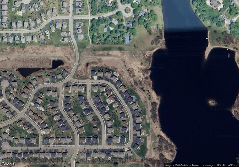
Map
Nearby Homes
- 4418 Ashton Curve
- 4764 Ashton Curve
- 4983 Sunflower Dr
- 9612 Iron Horse Rd
- 5174 Sundial Ln
- 5054 Dale Ridge Rd
- The Somerset 3 Plan at The Villas at Summerhill Woodbury
- The Somerset 4 Plan at The Villas at Summerhill Woodbury
- The Somerset 2 Plan at The Villas at Summerhill Woodbury
- The Somerset 2B Plan at The Villas at Summerhill Woodbury
- The Somerset 1 Plan at The Villas at Summerhill Woodbury
- 5194 Sundial Ln
- 5237 Windlass Dr
- 9125 Compass Pointe Rd
- 8872 Periwinkle Blvd
- 9031 Highview Ln
- 5189 Windlass Dr
- 5025 Sandpebble Ln
- Vanderbilt Plan at Westwind - Landmark Collection
- Springfield Plan at Westwind - Discovery Collection
- 4523 Ashton Curve
- 4499 Ashton Curve
- 4535 Ashton Curve
- 4487 Ashton Curve
- 4512 Ashton Curve
- 4524 Ashton Curve
- 4476 Ashton Curve
- 4547 Ashton Curve
- 4536 Ashton Curve
- 4548 Ashton Curve
- 4729 Foxtail Ln
- 4463 Ashton Curve
- 4559 Ashton Curve
- 4741 Foxtail Ln
- 4753 Foxtail Ln
- 4568 Ashton Curve
- 4765 Foxtail Ln
- 4571 Ashton Curve
- 4584 Ashton Curve
- 4777 Foxtail Ln