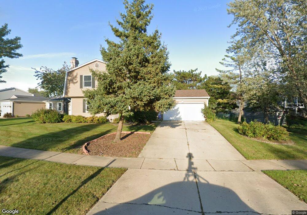
4511 Crab Orchard Dr Hoffman Estates, IL 60192
South Ridge NeighborhoodEstimated Value: $455,000 - $523,000
4
Beds
3
Baths
1,942
Sq Ft
$256/Sq Ft
Est. Value
About This Home
This home is located at 4511 Crab Orchard Dr, Hoffman Estates, IL 60192 and is currently estimated at $497,179, approximately $256 per square foot. 4511 Crab Orchard Dr is a home located in Cook County with nearby schools including Frank C. Whiteley Elementary School, Plum Grove Jr High School, and William Fremd High School.
Ownership History
Date
Name
Owned For
Owner Type
Purchase Details
Closed on
Sep 15, 2000
Sold by
Matsuda Tetsuo and Matsuda Fumiko
Bought by
Mcguire Michael and Blair Christine
Current Estimated Value
Home Financials for this Owner
Home Financials are based on the most recent Mortgage that was taken out on this home.
Original Mortgage
$172,000
Outstanding Balance
$62,866
Interest Rate
8.14%
Estimated Equity
$434,314
Purchase Details
Closed on
Jul 25, 1996
Sold by
Kvistad William M and Kvistad Sharon E
Bought by
Matsuda Tetsuo and Matsuda Fumiko
Home Financials for this Owner
Home Financials are based on the most recent Mortgage that was taken out on this home.
Original Mortgage
$172,000
Interest Rate
8.33%
Create a Home Valuation Report for This Property
The Home Valuation Report is an in-depth analysis detailing your home's value as well as a comparison with similar homes in the area
Home Values in the Area
Average Home Value in this Area
Purchase History
| Date | Buyer | Sale Price | Title Company |
|---|---|---|---|
| Mcguire Michael | $215,000 | Lawyers Title Insurance Corp | |
| Matsuda Tetsuo | $215,000 | Lawyers Title Insurance Corp |
Source: Public Records
Mortgage History
| Date | Status | Borrower | Loan Amount |
|---|---|---|---|
| Open | Mcguire Michael | $172,000 | |
| Previous Owner | Matsuda Tetsuo | $172,000 |
Source: Public Records
Tax History Compared to Growth
Tax History
| Year | Tax Paid | Tax Assessment Tax Assessment Total Assessment is a certain percentage of the fair market value that is determined by local assessors to be the total taxable value of land and additions on the property. | Land | Improvement |
|---|---|---|---|---|
| 2024 | $10,327 | $37,000 | $6,824 | $30,176 |
| 2023 | $9,950 | $37,000 | $6,824 | $30,176 |
| 2022 | $9,950 | $37,000 | $6,824 | $30,176 |
| 2021 | $8,284 | $28,070 | $4,738 | $23,332 |
| 2020 | $8,177 | $28,070 | $4,738 | $23,332 |
| 2019 | $8,093 | $31,120 | $4,738 | $26,382 |
| 2018 | $8,533 | $30,370 | $4,359 | $26,011 |
| 2017 | $8,393 | $30,370 | $4,359 | $26,011 |
| 2016 | $8,043 | $30,370 | $4,359 | $26,011 |
| 2015 | $8,522 | $30,042 | $3,980 | $26,062 |
| 2014 | $8,378 | $30,042 | $3,980 | $26,062 |
| 2013 | $8,148 | $30,042 | $3,980 | $26,062 |
Source: Public Records
Map
Nearby Homes
- 1195 Old Timber Ct
- 1208 Old Timber Ln
- 1404 W Sapphire Dr
- 330 Poteet Ave
- 4827 Turnberry Dr
- 4658 Burnham Dr
- 4944 Somerton Dr
- 4797 Amber Cir
- 4320 Lombardy Ln
- 4890 Prestwick Place
- 4850 Prestwick Place
- 4760 Amber Cir
- 5070 Thornbark Dr
- 3960 Colony Ct
- 70 Ela Rd
- 13 Chipping Campden Dr
- 5190 Chambers Dr
- 85 Ela Rd
- 3925 Charlemagne Dr
- 815 Concord Cove
- 4525 Crab Orchard Dr
- 4500 Thornbark Dr
- 4512 Thornbark Dr
- 4524 Thornbark Dr
- 4537 Crab Orchard Dr
- 4536 Thornbark Dr
- 4490 Crab Orchard Dr
- 4512 Crab Orchard Dr
- 4480 Thornbark Dr
- 4549 Crab Orchard Dr
- 4548 Thornbark Dr
- 4536 Crab Orchard Dr
- 4548 Crab Orchard Dr
- 4491 Thornbark Dr
- 4560 Thornbark Dr
- 4479 Thornbark Dr
- 4503 Thornbark Dr
- 4561 Crab Orchard Dr
- 4513 Mumford Dr
- 4525 Thornbark Dr