Estimated Value: $206,000 - $242,019
--
Bed
2
Baths
1,296
Sq Ft
$172/Sq Ft
Est. Value
About This Home
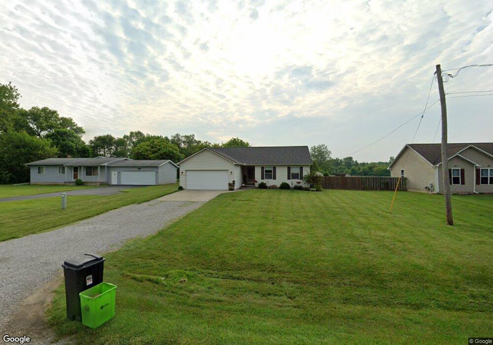
This home is located at 4512 N Belsay Rd Unit Bldg-Unit, Flint, MI 48506 and is currently estimated at $222,755, approximately $171 per square foot. 4512 N Belsay Rd Unit Bldg-Unit is a home located in Genesee County with nearby schools including Weston Elementary School, Leota Fiedler Elementary School, and Kate Dowdall Elementary School.
Ownership History
Date
Name
Owned For
Owner Type
Purchase Details
Closed on
Jan 25, 2018
Sold by
Bice Michael J
Bought by
Adolph Cody T
Current Estimated Value
Home Financials for this Owner
Home Financials are based on the most recent Mortgage that was taken out on this home.
Original Mortgage
$123,500
Outstanding Balance
$104,219
Interest Rate
3.94%
Mortgage Type
New Conventional
Estimated Equity
$118,536
Purchase Details
Closed on
Feb 28, 2011
Sold by
Bice Michael J and Bice Nicole R
Bought by
Bice Michael J
Create a Home Valuation Report for This Property
The Home Valuation Report is an in-depth analysis detailing your home's value as well as a comparison with similar homes in the area
Home Values in the Area
Average Home Value in this Area
Purchase History
| Date | Buyer | Sale Price | Title Company |
|---|---|---|---|
| Adolph Cody T | $130,000 | Mason Burgess Title Agency | |
| Bice Michael J | -- | None Available |
Source: Public Records
Mortgage History
| Date | Status | Borrower | Loan Amount |
|---|---|---|---|
| Open | Adolph Cody T | $123,500 |
Source: Public Records
Tax History Compared to Growth
Tax History
| Year | Tax Paid | Tax Assessment Tax Assessment Total Assessment is a certain percentage of the fair market value that is determined by local assessors to be the total taxable value of land and additions on the property. | Land | Improvement |
|---|---|---|---|---|
| 2025 | $3,074 | $122,100 | $0 | $0 |
| 2024 | $875 | $113,200 | $0 | $0 |
| 2023 | $834 | $100,100 | $0 | $0 |
| 2022 | $2,532 | $91,500 | $0 | $0 |
| 2021 | $2,509 | $83,000 | $0 | $0 |
| 2020 | $763 | $74,300 | $0 | $0 |
| 2019 | $751 | $64,700 | $0 | $0 |
| 2018 | $1,416 | $57,300 | $0 | $0 |
| 2017 | $1,806 | $55,200 | $0 | $0 |
| 2016 | $1,807 | $50,700 | $0 | $0 |
| 2015 | $1,184 | $45,900 | $0 | $0 |
| 2014 | $395 | $42,700 | $0 | $0 |
| 2012 | -- | $33,800 | $33,800 | $0 |
Source: Public Records
Map
Nearby Homes
- 5429 Hopkins Rd
- 6323 Bluejay Dr
- 5335 Rose Ln
- 6363 Bluejay Dr
- 6298 Nightingale Dr
- 6077 Crown Point
- 4062 N Belsay Rd
- 5141 N Vassar Rd
- 5068 Roberts Dr
- 5111 Paro Dr
- 4156 Bobwhite Dr
- 7020 E Carpenter Rd
- 5521 N Belsay Rd
- 4455 N Genesee Rd
- 4465 Market Place
- 5142 Berneda Dr
- 3454 Eastdale Dr
- 4489 Home Town Dr Unit 32
- 4459 Market Place
- 4453 Market Place
- 4512 N Belsay Rd
- 4504 N Belsay Rd
- 4524 N Belsay Rd
- 4498 N Belsay Rd
- 5008 N Belsay Rd
- 00 N Belsay Rd
- 5516 Hopkins Rd
- 4492 N Belsay Rd
- 5014 N Belsay Rd
- 6032 Hopkins Rd
- 6024 Hopkins Rd
- 4499 N Belsay Rd
- 5504 Hopkins Rd
- 5011 N Belsay Rd
- 6040 Hopkins Rd
- 4484 N Belsay Rd
- 6048 Hopkins Rd
- 5021 N Belsay Rd
- 5509 Hopkins Rd
- 5496 Hopkins Rd