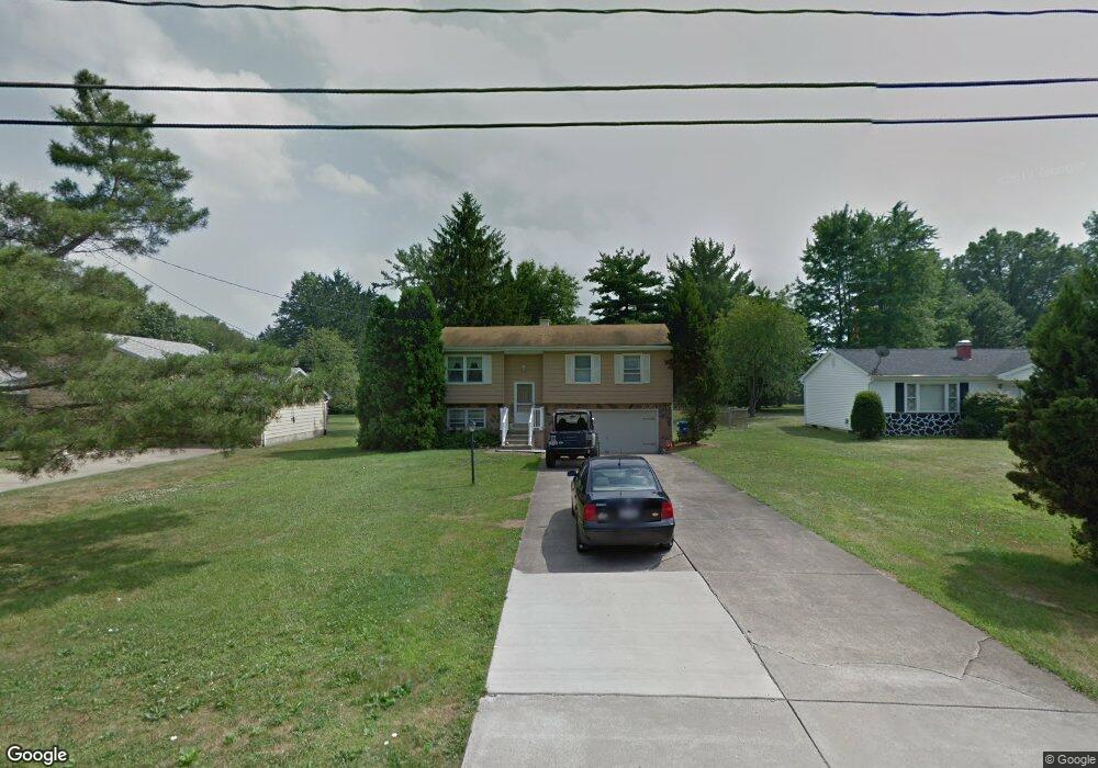
4515 Rita St Youngstown, OH 44515
Austintown NeighborhoodEstimated Value: $169,314 - $230,000
3
Beds
2
Baths
1,594
Sq Ft
$125/Sq Ft
Est. Value
About This Home
This home is located at 4515 Rita St, Youngstown, OH 44515 and is currently estimated at $199,829, approximately $125 per square foot. 4515 Rita St is a home located in Mahoning County with nearby schools including Austintown Elementary School, Austintown Intermediate School, and Austintown Middle School.
Ownership History
Date
Name
Owned For
Owner Type
Purchase Details
Closed on
Feb 24, 2010
Sold by
Huntington National Bank
Bought by
Piatt Dean A
Current Estimated Value
Home Financials for this Owner
Home Financials are based on the most recent Mortgage that was taken out on this home.
Original Mortgage
$76,587
Outstanding Balance
$51,440
Interest Rate
5.25%
Mortgage Type
FHA
Estimated Equity
$148,389
Purchase Details
Closed on
Sep 14, 2007
Sold by
Estate Of Richard E Manna
Bought by
Manna Tina
Purchase Details
Closed on
Dec 15, 1975
Bought by
Manna Richard E and Manna Tina
Create a Home Valuation Report for This Property
The Home Valuation Report is an in-depth analysis detailing your home's value as well as a comparison with similar homes in the area
Home Values in the Area
Average Home Value in this Area
Purchase History
| Date | Buyer | Sale Price | Title Company |
|---|---|---|---|
| Piatt Dean A | $78,000 | Assurance Land Title | |
| Manna Tina | -- | None Available | |
| Manna Richard E | -- | -- |
Source: Public Records
Mortgage History
| Date | Status | Borrower | Loan Amount |
|---|---|---|---|
| Open | Piatt Dean A | $76,587 |
Source: Public Records
Tax History Compared to Growth
Tax History
| Year | Tax Paid | Tax Assessment Tax Assessment Total Assessment is a certain percentage of the fair market value that is determined by local assessors to be the total taxable value of land and additions on the property. | Land | Improvement |
|---|---|---|---|---|
| 2024 | $1,698 | $37,070 | $5,820 | $31,250 |
| 2023 | $1,671 | $37,070 | $5,820 | $31,250 |
| 2022 | $1,674 | $29,780 | $4,990 | $24,790 |
| 2021 | $1,675 | $29,780 | $4,990 | $24,790 |
| 2020 | $1,682 | $29,780 | $4,990 | $24,790 |
| 2019 | $1,581 | $25,480 | $4,990 | $20,490 |
| 2018 | $1,521 | $25,480 | $4,990 | $20,490 |
| 2017 | $1,518 | $25,480 | $4,990 | $20,490 |
| 2016 | $1,560 | $25,920 | $4,990 | $20,930 |
| 2015 | $1,512 | $25,920 | $4,990 | $20,930 |
| 2014 | $1,519 | $25,920 | $4,990 | $20,930 |
| 2013 | $1,503 | $25,920 | $4,990 | $20,930 |
Source: Public Records
Map
Nearby Homes
- 1439 Bexley Dr
- 4262 Pembrook Rd
- 4689 Crabwood Dr
- 4314 Kerrybrook Dr
- 4234 Burkey Rd
- 2414 Ardenwood Place
- 4235 Patricia Ave
- 2493 Frostwood Dr
- 4289 Wedgewood Dr
- 603 S Raccoon Rd Unit 14
- 603 S Raccoon Rd Unit 9
- 603 S Raccoon Rd Unit 61
- 4241 Wedgewood Dr
- 1707 Westhampton Dr
- 4102 Burkey Rd
- 4674 Barrington Dr
- 0 S Raccoon Rd Unit 5142489
- 40 Woodleigh Ct
- 0 Elmwood Ave
- 2211 Penny Ln