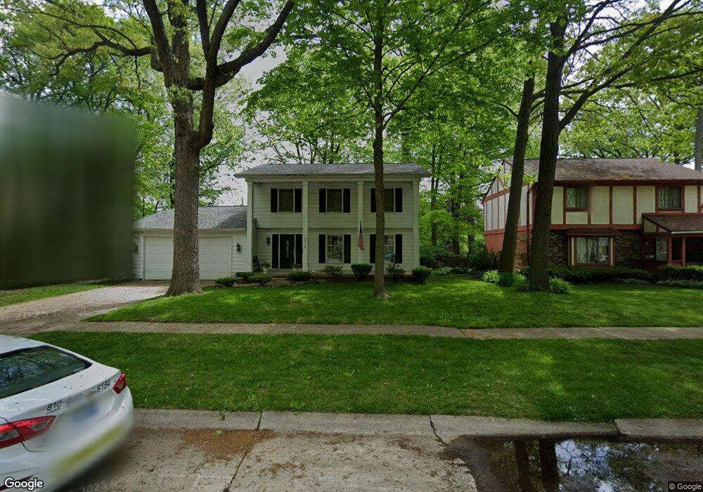
4519 Lynbrook Dr Flint, MI 48507
Westgate NeighborhoodEstimated Value: $122,000 - $190,000
3
Beds
3
Baths
1,977
Sq Ft
$85/Sq Ft
Est. Value
About This Home
This home is located at 4519 Lynbrook Dr, Flint, MI 48507 and is currently estimated at $167,073, approximately $84 per square foot. 4519 Lynbrook Dr is a home located in Genesee County with nearby schools including Neithercut Elementary School, Flint Southwestern Classical Academy, and International Academy of Flint (K-12).
Ownership History
Date
Name
Owned For
Owner Type
Purchase Details
Closed on
Aug 3, 2021
Sold by
Booth Sidney A
Bought by
Booth Sidney A and Booth Sydney A
Current Estimated Value
Purchase Details
Closed on
Dec 5, 2017
Sold by
Genesee County Land Bank Authority
Bought by
Reynolds Lyle M
Purchase Details
Closed on
Aug 19, 2014
Sold by
Booth Sidney A
Bought by
Booth Sidney A and Booth Sydney A
Purchase Details
Closed on
Mar 27, 2002
Sold by
Turner Lloyd
Bought by
Atlantic Mtg & Investment Corp
Create a Home Valuation Report for This Property
The Home Valuation Report is an in-depth analysis detailing your home's value as well as a comparison with similar homes in the area
Home Values in the Area
Average Home Value in this Area
Purchase History
| Date | Buyer | Sale Price | Title Company |
|---|---|---|---|
| Booth Sidney A | -- | None Listed On Document | |
| Reynolds Lyle M | -- | None Available | |
| Booth Sidney A | -- | None Available | |
| Atlantic Mtg & Investment Corp | $54,578 | -- |
Source: Public Records
Tax History
| Year | Tax Paid | Tax Assessment Tax Assessment Total Assessment is a certain percentage of the fair market value that is determined by local assessors to be the total taxable value of land and additions on the property. | Land | Improvement |
|---|---|---|---|---|
| 2025 | $2,072 | $84,700 | $0 | $0 |
| 2024 | $1,839 | $82,200 | $0 | $0 |
| 2023 | $1,785 | $62,600 | $0 | $0 |
| 2022 | $0 | $54,300 | $0 | $0 |
| 2021 | $1,880 | $47,300 | $0 | $0 |
| 2020 | $1,658 | $37,700 | $0 | $0 |
| 2019 | $1,591 | $36,600 | $0 | $0 |
| 2018 | $1,673 | $37,500 | $0 | $0 |
| 2017 | $1,618 | $0 | $0 | $0 |
| 2016 | $1,605 | $0 | $0 | $0 |
| 2015 | -- | $0 | $0 | $0 |
| 2014 | -- | $0 | $0 | $0 |
| 2012 | -- | $36,100 | $0 | $0 |
Source: Public Records
Map
Nearby Homes
- 4502 Huckleberry Ln
- Lot 57 Walnut Creek Dr
- 1627 Blackberry Ln
- 3312 Renault Dr
- 1826 Greenbrook Ln
- 1247 Catalina Dr
- 4101 Greenbrook Ln
- 1318 Ingleside Ave
- 1818 Rockcreek Ln
- 1310 Huron St
- 1902 Rockcreek Ln
- 1234 Huron St
- 1210 Pinehurst Ave
- 1446 Stephens Ave
- 1939 Laurel Oak Dr
- 1122 Markham St
- 1410 Berrywood Ln
- 1933 Greenbriar Ln
- 4202 Park Forest Dr
- 1741 Carmanbrook Pkwy
- 4601 Lynbrook Dr
- 4515 Lynbrook Dr
- 4511 Lynbrook Dr
- 4709 Lynbrook Dr
- 1702 Walnut Creek
- 1701 Laurel Oak Dr
- 4711 Lynbrook Dr
- 1706 Walnut Creek
- 4514 Huckleberry Ln
- 4510 Huckleberry Ln
- 4522 Huckleberry Ln
- 4506 Huckleberry Ln
- 4507 Lynbrook Dr
- 1697 Walnut Creek
- 4526 Huckleberry Ln
- 1705 Laurel Oak Dr
- 1702 Laurel Oak Dr
- 4418 Huckleberry Ln
- 4501 Lynbrook Dr
- 4414 Huckleberry Ln
Your Personal Tour Guide
Ask me questions while you tour the home.