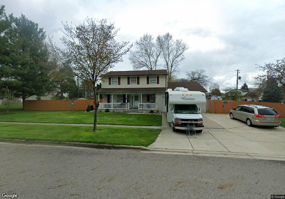
4519 Meaford St Lansing, MI 48917
Estimated Value: $285,411 - $307,000
4
Beds
3
Baths
1,975
Sq Ft
$150/Sq Ft
Est. Value
About This Home
This home is located at 4519 Meaford St, Lansing, MI 48917 and is currently estimated at $296,353, approximately $150 per square foot. 4519 Meaford St is a home located in Eaton County with nearby schools including Waverly Senior High School, Greater Lansing Adventist School, and New Covenant Christian School.
Ownership History
Date
Name
Owned For
Owner Type
Purchase Details
Closed on
Jun 24, 2003
Sold by
Faust Billy G and Faust Linda L
Bought by
Pham An Cong
Current Estimated Value
Home Financials for this Owner
Home Financials are based on the most recent Mortgage that was taken out on this home.
Original Mortgage
$167,535
Outstanding Balance
$71,362
Interest Rate
5.4%
Mortgage Type
Purchase Money Mortgage
Estimated Equity
$224,991
Create a Home Valuation Report for This Property
The Home Valuation Report is an in-depth analysis detailing your home's value as well as a comparison with similar homes in the area
Home Values in the Area
Average Home Value in this Area
Purchase History
| Date | Buyer | Sale Price | Title Company |
|---|---|---|---|
| Pham An Cong | $186,150 | Midstate Title Co |
Source: Public Records
Mortgage History
| Date | Status | Borrower | Loan Amount |
|---|---|---|---|
| Open | Pham An Cong | $167,535 |
Source: Public Records
Tax History Compared to Growth
Tax History
| Year | Tax Paid | Tax Assessment Tax Assessment Total Assessment is a certain percentage of the fair market value that is determined by local assessors to be the total taxable value of land and additions on the property. | Land | Improvement |
|---|---|---|---|---|
| 2025 | $4,398 | $131,000 | $0 | $0 |
| 2024 | $2,503 | $125,500 | $0 | $0 |
| 2023 | $2,406 | $114,600 | $0 | $0 |
| 2022 | $3,833 | $107,600 | $0 | $0 |
| 2021 | $3,705 | $102,400 | $0 | $0 |
| 2020 | $3,800 | $94,600 | $0 | $0 |
| 2019 | $3,790 | $93,404 | $0 | $0 |
| 2018 | $3,706 | $88,600 | $0 | $0 |
| 2017 | $3,616 | $85,000 | $0 | $0 |
| 2016 | -- | $83,100 | $0 | $0 |
| 2015 | -- | $79,100 | $0 | $0 |
| 2014 | -- | $76,000 | $0 | $0 |
| 2013 | -- | $77,100 | $0 | $0 |
Source: Public Records
Map
Nearby Homes
- 4616 W St Joe Hwy
- 1018 Pickton Dr
- 916 Westover Cir
- 918 Harvest Ln
- 1109 Boulder Ct Unit 46
- 4819 Moultrie Cir
- 1130 Vail Ct Unit 25
- 612 S Dibble Blvd
- 210 Park Meadows Dr Unit 25
- 516 Hume Blvd
- 4220 Otis St
- 5525 W St Joe Hwy Unit A8
- 2517 W Michigan Ave
- 5535 W St Joe Hwy Unit B12
- 5535 W St Joe Hwy Unit B3
- 215 Winifred Ave Unit A & B
- 205 Renker Rd
- 5538 W St Joe Hwy
- 1212 Bennington Dr
- 3707 W Michigan Ave
- 813 Canton Dr
- 4509 Meaford St
- 4518 Meaford St
- 836 Chesley Dr
- 913 Canton Dr
- 4510 Meaford St
- 4611 Meaford St
- 4602 Meaford St
- 812 Canton Dr
- 4504 Meaford St
- 4610 Meaford St
- 904 Canton Dr
- 910 Canton Dr
- 4601 Norwick St
- 925 Canton Dr
- 4613 Norwick St
- 4616 Meaford St
- 4523 Norwick St
- 4621 Meaford St
- 813 London Dr