4520 Nassau Rd Bradenton, FL 34210
Estimated Value: $718,000 - $951,000
2
Beds
2
Baths
1,858
Sq Ft
$455/Sq Ft
Est. Value
About This Home
This home is located at 4520 Nassau Rd, Bradenton, FL 34210 and is currently estimated at $844,581, approximately $454 per square foot. 4520 Nassau Rd is a home with nearby schools including Sea Breeze Elementary School, W. D. Sugg Middle School, and Bayshore High School.
Ownership History
Date
Name
Owned For
Owner Type
Purchase Details
Closed on
Jul 5, 2018
Sold by
Collier Phillip R and Collier Tamara J
Bought by
Collier Philip R and Collier Tamara J
Current Estimated Value
Home Financials for this Owner
Home Financials are based on the most recent Mortgage that was taken out on this home.
Original Mortgage
$50,000
Outstanding Balance
$43,428
Interest Rate
4.6%
Mortgage Type
Credit Line Revolving
Estimated Equity
$801,153
Purchase Details
Closed on
Jul 23, 1997
Sold by
Pawloski Joseph A and Pawloski Laura A
Bought by
Collier Phillip R and Collier Tamara J
Home Financials for this Owner
Home Financials are based on the most recent Mortgage that was taken out on this home.
Original Mortgage
$120,000
Interest Rate
7.7%
Create a Home Valuation Report for This Property
The Home Valuation Report is an in-depth analysis detailing your home's value as well as a comparison with similar homes in the area
Home Values in the Area
Average Home Value in this Area
Purchase History
| Date | Buyer | Sale Price | Title Company |
|---|---|---|---|
| Collier Philip R | -- | Attorney | |
| Collier Phillip R | $159,500 | -- |
Source: Public Records
Mortgage History
| Date | Status | Borrower | Loan Amount |
|---|---|---|---|
| Open | Collier Philip R | $50,000 | |
| Closed | Collier Phillip R | $120,000 |
Source: Public Records
Tax History
| Year | Tax Paid | Tax Assessment Tax Assessment Total Assessment is a certain percentage of the fair market value that is determined by local assessors to be the total taxable value of land and additions on the property. | Land | Improvement |
|---|---|---|---|---|
| 2025 | $3,843 | $300,791 | -- | -- |
| 2023 | $3,780 | $283,800 | $0 | $0 |
| 2022 | $3,681 | $275,534 | $0 | $0 |
| 2021 | $3,532 | $267,509 | $0 | $0 |
| 2020 | $3,640 | $263,816 | $0 | $0 |
| 2019 | $3,585 | $257,885 | $0 | $0 |
| 2018 | $3,557 | $253,077 | $0 | $0 |
| 2017 | $3,308 | $247,872 | $0 | $0 |
| 2016 | $3,973 | $242,774 | $0 | $0 |
Source: Public Records
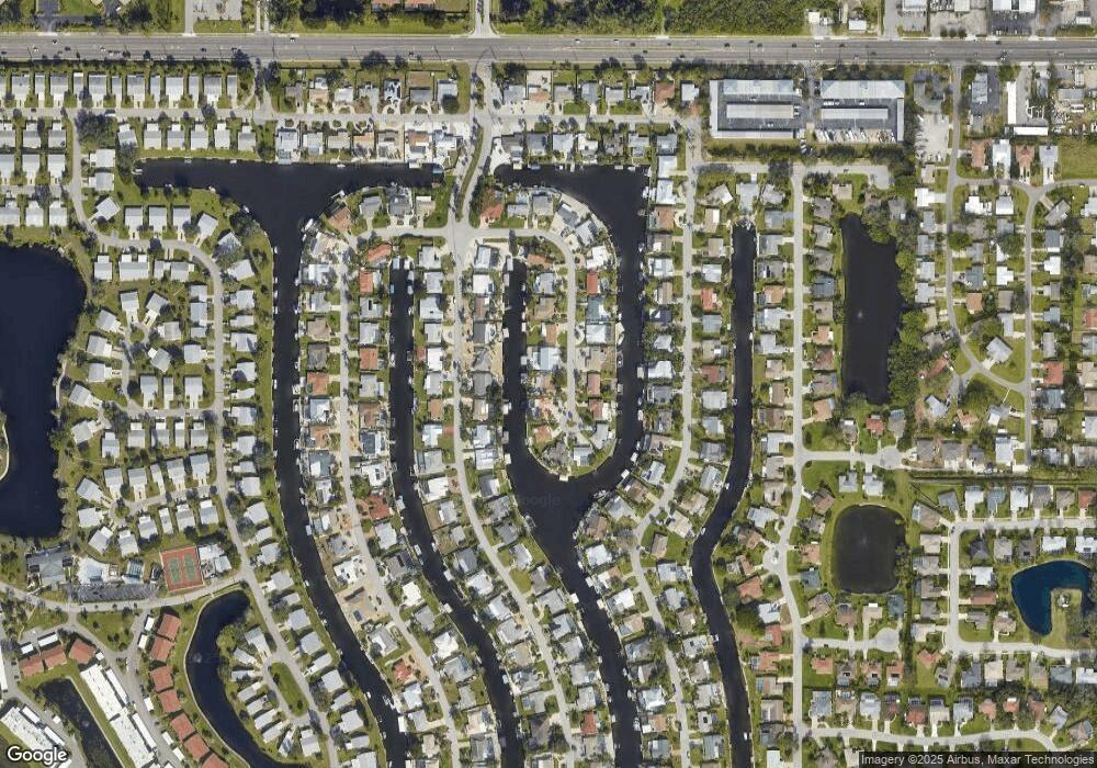
Map
Nearby Homes
- 4515 Mangrove Point Rd
- 4612 Coral Lake Dr
- 4419 Mangrove Point Rd
- 9207 Bimini Dr
- 4503 Coral Lake Dr
- 4532 Bimini Dr
- 8808 44th Avenue Dr W
- 4916 Coral Blvd
- 4515 Mount Vernon Dr
- 4424 87th Street Ct W
- 5004 Coral Lake Dr
- 5011 Mangrove Point Rd
- 9412 Concord Cir
- 4523 86th Street Ct W
- 4414 Mount Vernon Dr Unit 1
- 4852 Independence Dr Unit 4852
- 9421 Andover Cir
- 4409 Mount Vernon Dr
- 9417 Kingston Dr Unit 9417
- 4405 Mount Vernon Dr Unit 4405
- 4524 Nassau Rd
- 4516 Nassau Rd
- 4528 Nassau Rd
- 4528 Nassau Rd
- 4523 Nassau Rd
- 4512 Nassau Rd
- 4519 Nassau Rd
- 4529 Nassau Rd
- 4523 Coral Blvd
- 4523 Boulevard
- 4527 Coral Blvd
- 4519 Coral Blvd
- 4515 Nassau Rd
- 4532 Nassau Rd
- 4531 Nassau Rd
- 4535 Nassau Rd
- 4508 Nassau Rd
- 4515 Coral Blvd
- 4531 Coral Blvd
- 4511 Nassau Rd
Your Personal Tour Guide
Ask me questions while you tour the home.