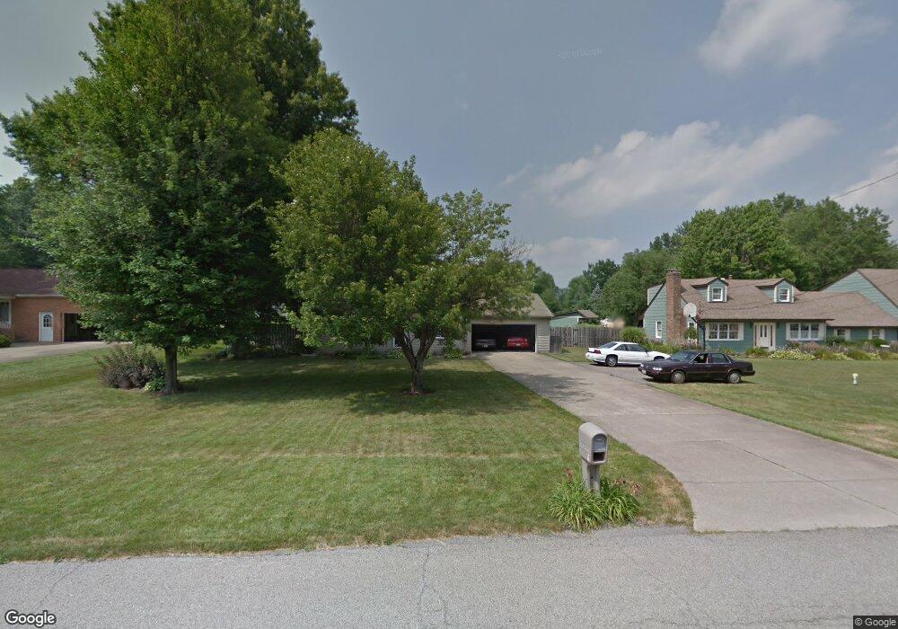
4520 Rita St Youngstown, OH 44515
Austintown NeighborhoodEstimated Value: $153,000 - $240,000
4
Beds
2
Baths
1,326
Sq Ft
$136/Sq Ft
Est. Value
About This Home
This home is located at 4520 Rita St, Youngstown, OH 44515 and is currently estimated at $180,850, approximately $136 per square foot. 4520 Rita St is a home located in Mahoning County with nearby schools including Austintown Elementary School, Austintown Intermediate School, and Austintown Middle School.
Ownership History
Date
Name
Owned For
Owner Type
Purchase Details
Closed on
Nov 19, 1998
Sold by
Clark Thomas and Clark Elizabeth
Bought by
Evans Howard R
Current Estimated Value
Home Financials for this Owner
Home Financials are based on the most recent Mortgage that was taken out on this home.
Original Mortgage
$73,525
Outstanding Balance
$14,512
Interest Rate
6.59%
Estimated Equity
$166,338
Purchase Details
Closed on
Feb 15, 1994
Bought by
Cessna Eliz and Cessna Clark T
Create a Home Valuation Report for This Property
The Home Valuation Report is an in-depth analysis detailing your home's value as well as a comparison with similar homes in the area
Home Values in the Area
Average Home Value in this Area
Purchase History
| Date | Buyer | Sale Price | Title Company |
|---|---|---|---|
| Evans Howard R | $86,500 | -- | |
| Cessna Eliz | $72,000 | -- |
Source: Public Records
Mortgage History
| Date | Status | Borrower | Loan Amount |
|---|---|---|---|
| Open | Evans Howard R | $73,525 |
Source: Public Records
Tax History
| Year | Tax Paid | Tax Assessment Tax Assessment Total Assessment is a certain percentage of the fair market value that is determined by local assessors to be the total taxable value of land and additions on the property. | Land | Improvement |
|---|---|---|---|---|
| 2025 | $1,938 | $39,950 | $6,550 | $33,400 |
| 2024 | $1,855 | $39,950 | $6,550 | $33,400 |
| 2023 | $1,822 | $39,950 | $6,550 | $33,400 |
| 2022 | $1,962 | $34,540 | $5,640 | $28,900 |
| 2021 | $1,964 | $34,540 | $5,640 | $28,900 |
| 2020 | $1,972 | $34,540 | $5,640 | $28,900 |
| 2019 | $1,875 | $29,530 | $5,640 | $23,890 |
| 2018 | $1,805 | $29,530 | $5,640 | $23,890 |
| 2017 | $1,781 | $29,530 | $5,640 | $23,890 |
| 2016 | $1,708 | $28,010 | $5,640 | $22,370 |
| 2015 | $1,657 | $28,010 | $5,640 | $22,370 |
| 2014 | $1,664 | $28,010 | $5,640 | $22,370 |
| 2013 | $1,646 | $28,010 | $5,640 | $22,370 |
Source: Public Records
Map
Nearby Homes
- 4387 Burkey Rd
- 4829 New Rd
- 4314 Kerrybrook Dr
- 4230 Selkirk Ave
- 1281 Signature Dr
- 2063 Woodland Trace
- 603 S Raccoon Rd Unit 61
- 4828 Shadow Oak Dr
- 1707 Westhampton Dr
- 1853 Lancaster Dr
- 4876 Shadow Oak Dr
- 4102 Burkey Rd
- 1649 Lancaster Dr
- 4888 Shadow Oak Dr
- 4103 Woodmere Dr
- 425 Southward Dr
- 2612 Frostwood Dr
- 406 S Raccoon Rd
- 431 Westgate Blvd
- 4250 Nottingham Ave
- 4530 Rita St
- 4510 Rita St
- 4540 Rita St
- 4502 Rita St
- 4537 Fitzgerald Ave
- 4493 Fitzgerald Ave
- 4541 Fitzgerald Ave
- 4509 Rita Ave
- 4515 Rita St
- 4525 Rita St
- 4483 Fitzgerald Ave
- 4549 Fitzgerald Ave
- 4509 Rita St
- 4550 Rita St
- 4535 Rita St
- 4490 Rita St
- 4503 Rita St
- 4545 Rita St
- 0 Fitzgerald Ave Unit 4095180
- 4559 Fitzgerald Ave
Your Personal Tour Guide
Ask me questions while you tour the home.