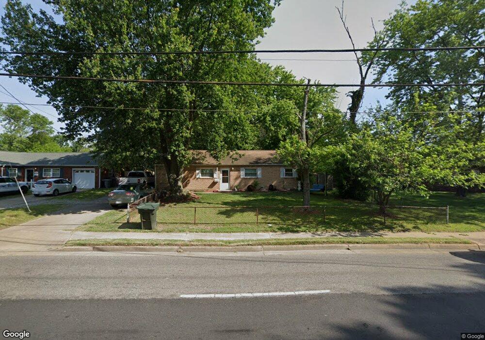
453 Fox Hill Rd Hampton, VA 23669
Fox Hill NeighborhoodEstimated Value: $274,068 - $295,000
3
Beds
1
Bath
1,732
Sq Ft
$165/Sq Ft
Est. Value
About This Home
This home is located at 453 Fox Hill Rd, Hampton, VA 23669 and is currently estimated at $285,267, approximately $164 per square foot. 453 Fox Hill Rd is a home located in Hampton City with nearby schools including Phillips Elementary School, Benjamin Syms Middle School, and Kecoughtan High School.
Ownership History
Date
Name
Owned For
Owner Type
Purchase Details
Closed on
Feb 22, 1999
Sold by
Vegh Michael S
Bought by
Lamkim Clyde E
Current Estimated Value
Home Financials for this Owner
Home Financials are based on the most recent Mortgage that was taken out on this home.
Original Mortgage
$76,171
Outstanding Balance
$18,091
Interest Rate
6.78%
Estimated Equity
$267,176
Create a Home Valuation Report for This Property
The Home Valuation Report is an in-depth analysis detailing your home's value as well as a comparison with similar homes in the area
Home Values in the Area
Average Home Value in this Area
Purchase History
| Date | Buyer | Sale Price | Title Company |
|---|---|---|---|
| Lamkim Clyde E | $76,779 | -- |
Source: Public Records
Mortgage History
| Date | Status | Borrower | Loan Amount |
|---|---|---|---|
| Open | Lamkim Clyde E | $76,171 |
Source: Public Records
Tax History Compared to Growth
Tax History
| Year | Tax Paid | Tax Assessment Tax Assessment Total Assessment is a certain percentage of the fair market value that is determined by local assessors to be the total taxable value of land and additions on the property. | Land | Improvement |
|---|---|---|---|---|
| 2025 | $2,774 | $253,300 | $60,000 | $193,300 |
| 2024 | $2,774 | $241,200 | $60,000 | $181,200 |
| 2023 | $2,630 | $226,700 | $60,000 | $166,700 |
| 2022 | $2,443 | $207,000 | $55,000 | $152,000 |
| 2021 | $2,213 | $168,000 | $50,000 | $118,000 |
| 2020 | $1,978 | $159,500 | $45,000 | $114,500 |
| 2019 | $1,926 | $155,300 | $45,000 | $110,300 |
| 2018 | $1,958 | $151,400 | $45,000 | $106,400 |
| 2017 | $1,971 | $0 | $0 | $0 |
| 2016 | $1,945 | $149,300 | $0 | $0 |
| 2015 | $1,945 | $0 | $0 | $0 |
| 2014 | $1,989 | $149,300 | $45,000 | $104,300 |
Source: Public Records
Map
Nearby Homes
- 14 Bluesage Path
- 418 Fox Hill Rd
- 639 Fairfield Blvd
- 702 New Bern Ave
- 8 Alton Ct
- 122 Manilla Cir Unit 5
- 45 Glascow Way
- 505 Stockton St
- 456 Fort Worth St
- 3 Kansas Ct
- 83 Glascow Way
- 46 Manilla Ln
- 154 Loch Cir
- 525 Stockton St
- 529 Stockton St
- 467 Gretna Ct
- 2025 Nickerson Blvd
- 2000 Beall Dr
- 38 Southwind Dr
- 906 Allendale Dr
- 451 Fox Hill Rd
- 601 Fairfield Blvd
- 603 Fairfield Blvd
- 600 Sandra Ct
- 449 Fox Hill Rd
- 602 Sandra Ct
- 605 Fairfield Blvd
- 601 Sandra Ct
- 447 Fox Hill Rd
- 452 Fox Hill Rd
- 456 Beaumont St
- 454 Fox Hill Rd
- 454 Beaumont St
- 448 Fox Hill Rd
- 458 Beaumont St
- 445 Fox Hill Rd
- 603 Sandra Ct
- 456 Fox Hill Rd
- 452 Beaumont St
- 443 Fox Hill Rd