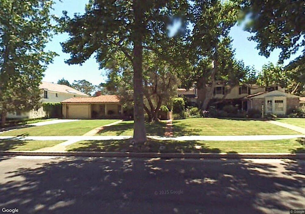
453 Loring Ave Los Angeles, CA 90024
Westwood NeighborhoodEstimated Value: $3,866,964 - $5,602,000
4
Beds
4
Baths
2,753
Sq Ft
$1,691/Sq Ft
Est. Value
About This Home
This home is located at 453 Loring Ave, Los Angeles, CA 90024 and is currently estimated at $4,654,241, approximately $1,690 per square foot. 453 Loring Ave is a home located in Los Angeles County with nearby schools including Warner Avenue Elementary, Ralph Waldo Emerson Community Charter Middle School, and University High School Charter.
Ownership History
Date
Name
Owned For
Owner Type
Purchase Details
Closed on
Jan 31, 2001
Sold by
Figueroa Josephine Gabusi
Bought by
Figueroa Josephine Gabusi and Josephine Gabusi Figueroa Trust
Current Estimated Value
Purchase Details
Closed on
Dec 30, 1999
Sold by
Figueroa William G Dr
Bought by
Figueroa Md William Gutierrez and Figueroa Josephine Gabusi
Create a Home Valuation Report for This Property
The Home Valuation Report is an in-depth analysis detailing your home's value as well as a comparison with similar homes in the area
Home Values in the Area
Average Home Value in this Area
Purchase History
| Date | Buyer | Sale Price | Title Company |
|---|---|---|---|
| Figueroa Josephine Gabusi | -- | -- | |
| Figueroa Md William Gutierrez | -- | -- |
Source: Public Records
Tax History Compared to Growth
Tax History
| Year | Tax Paid | Tax Assessment Tax Assessment Total Assessment is a certain percentage of the fair market value that is determined by local assessors to be the total taxable value of land and additions on the property. | Land | Improvement |
|---|---|---|---|---|
| 2025 | $14,934 | $1,227,292 | $853,782 | $373,510 |
| 2024 | $14,934 | $1,203,229 | $837,042 | $366,187 |
| 2023 | $14,651 | $1,179,637 | $820,630 | $359,007 |
| 2022 | $13,980 | $1,156,508 | $804,540 | $351,968 |
| 2021 | $13,802 | $1,133,832 | $788,765 | $345,067 |
| 2019 | $13,393 | $1,100,204 | $765,371 | $334,833 |
| 2018 | $13,289 | $1,078,632 | $750,364 | $328,268 |
| 2016 | $12,703 | $1,036,749 | $721,227 | $315,522 |
| 2015 | $12,519 | $1,021,177 | $710,394 | $310,783 |
| 2014 | $12,563 | $1,001,175 | $696,479 | $304,696 |
Source: Public Records
Map
Nearby Homes
- 453 Dalehurst Ave
- 601 Woodruff Ave
- 365 Comstock Ave
- 570 S Beverly Glen Blvd
- 547 Loring Ave
- 365 Norcroft Ave
- 10386 Strathmore Dr
- 10444 Charing Cross Rd
- 570 S Mapleton Dr
- 550 Hilgard Ave
- 10301 Strathmore Dr
- 740 Warner Ave
- 850 Birchwood Dr
- 200 S Mapleton Dr
- 107 Delfern Dr
- 10375 Wilshire Blvd Unit 2F
- 10375 Wilshire Blvd Unit 8F
- 10375 Wilshire Blvd Unit 1B
- 10452 Lindbrook Dr
- 101 Bel Air Rd
- 447 Loring Ave
- 465 Loring Ave
- 441 Loring Ave
- 460 Dalehurst Ave
- 454 Dalehurst Ave
- 466 Dalehurst Ave
- 448 Dalehurst Ave
- 471 Loring Ave
- 472 Dalehurst Ave
- 452 Loring Ave
- 460 Loring Ave
- 442 Dalehurst Ave
- 479 Loring Ave
- 468 Loring Ave
- 429 Loring Ave
- 478 Dalehurst Ave
- 436 Loring Ave
- 436 Dalehurst Ave
- 485 Loring Ave
- 423 Loring Ave