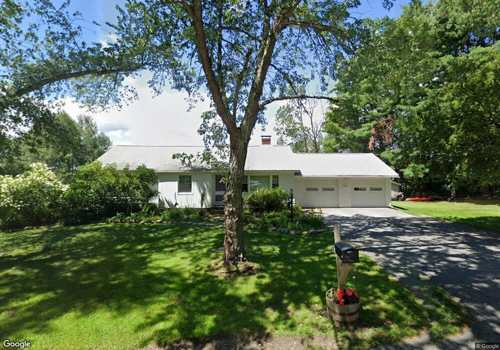
453 Route 63 Chesterfield, NH 03443
Estimated Value: $359,011 - $509,000
3
Beds
1
Bath
2,159
Sq Ft
$212/Sq Ft
Est. Value
About This Home
This home is located at 453 Route 63, Chesterfield, NH 03443 and is currently estimated at $457,753, approximately $212 per square foot. 453 Route 63 is a home with nearby schools including Chesterfield Central School, Mayland Early College High School, and Keene High School.
Ownership History
Date
Name
Owned For
Owner Type
Purchase Details
Closed on
Oct 9, 2009
Sold by
Hall 3Rd Louis H and Hall Jennifer L
Bought by
Starratt Jeffrey C and Starratt Deborah B
Current Estimated Value
Home Financials for this Owner
Home Financials are based on the most recent Mortgage that was taken out on this home.
Original Mortgage
$216,000
Outstanding Balance
$141,476
Interest Rate
5.14%
Mortgage Type
Purchase Money Mortgage
Estimated Equity
$316,277
Purchase Details
Closed on
Apr 18, 2001
Sold by
Goulet George E
Bought by
Hutcheon Richard J
Home Financials for this Owner
Home Financials are based on the most recent Mortgage that was taken out on this home.
Original Mortgage
$128,000
Interest Rate
6.9%
Create a Home Valuation Report for This Property
The Home Valuation Report is an in-depth analysis detailing your home's value as well as a comparison with similar homes in the area
Home Values in the Area
Average Home Value in this Area
Purchase History
| Date | Buyer | Sale Price | Title Company |
|---|---|---|---|
| Starratt Jeffrey C | $240,000 | -- | |
| Hutcheon Richard J | $160,000 | -- |
Source: Public Records
Mortgage History
| Date | Status | Borrower | Loan Amount |
|---|---|---|---|
| Open | Hutcheon Richard J | $216,000 | |
| Previous Owner | Hutcheon Richard J | $128,000 |
Source: Public Records
Tax History Compared to Growth
Tax History
| Year | Tax Paid | Tax Assessment Tax Assessment Total Assessment is a certain percentage of the fair market value that is determined by local assessors to be the total taxable value of land and additions on the property. | Land | Improvement |
|---|---|---|---|---|
| 2024 | $5,137 | $253,800 | $100,700 | $153,100 |
| 2023 | $5,030 | $253,800 | $100,700 | $153,100 |
| 2022 | $4,929 | $253,800 | $100,700 | $153,100 |
| 2021 | $4,825 | $253,800 | $100,700 | $153,100 |
| 2020 | $4,592 | $203,100 | $78,100 | $125,000 |
| 2019 | $4,544 | $203,600 | $78,100 | $125,500 |
| 2018 | $4,105 | $203,600 | $78,100 | $125,500 |
| 2016 | $4,329 | $203,600 | $78,100 | $125,500 |
| 2014 | $4,522 | $203,600 | $78,100 | $125,500 |
Source: Public Records
Map
Nearby Homes
- 00 Orchard Rd Unit 1
- 0 Stow Dr Unit 4929741
- 821 Route 9
- 123 Poocham Rd
- 85 Foley Rd
- 136 Cross Rd
- Lot 20 -20.3 Farr Rd
- 30 Farr Rd
- 36 Canal St
- 563 N Shore Rd
- 48 Church St
- 43 Westmoreland Rd
- 484 Old Swanzey Rd
- 16 Vermont Ave
- 31 Crescent Dr
- 16 Monument Rd
- 161 Buttonwood Dr
- 4 Tara Hill Ln
- Lot 26-3 Plain Rd
- Lot 26-4 Plain Rd