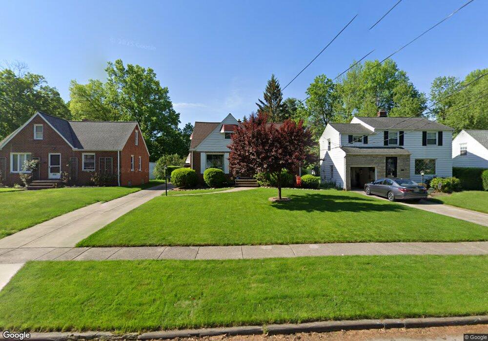
4530 Emerson Rd Cleveland, OH 44121
Estimated Value: $142,000 - $181,000
4
Beds
2
Baths
1,182
Sq Ft
$138/Sq Ft
Est. Value
About This Home
This home is located at 4530 Emerson Rd, Cleveland, OH 44121 and is currently estimated at $163,564, approximately $138 per square foot. 4530 Emerson Rd is a home located in Cuyahoga County with nearby schools including Adrian Elementary School, Greenview Upper Elementary School, and Memorial Junior High School.
Ownership History
Date
Name
Owned For
Owner Type
Purchase Details
Closed on
Dec 18, 2021
Sold by
Reddick Stephen M
Bought by
Reddick Robin C
Current Estimated Value
Purchase Details
Closed on
Sep 29, 1998
Sold by
Moreno Batel and Batel Lorena
Bought by
Reddick Stephen M and Reddick Robin C
Home Financials for this Owner
Home Financials are based on the most recent Mortgage that was taken out on this home.
Original Mortgage
$91,150
Interest Rate
6.98%
Purchase Details
Closed on
Jun 29, 1990
Sold by
Batel Moreno
Bought by
Batel Moreno
Purchase Details
Closed on
Jun 26, 1990
Sold by
Panno George and Panno Mary
Bought by
Panno Mary 1670%
Purchase Details
Closed on
Jan 1, 1975
Bought by
Panno George and Panno Mary
Create a Home Valuation Report for This Property
The Home Valuation Report is an in-depth analysis detailing your home's value as well as a comparison with similar homes in the area
Home Values in the Area
Average Home Value in this Area
Purchase History
| Date | Buyer | Sale Price | Title Company |
|---|---|---|---|
| Reddick Robin C | -- | Kocab Brooke E | |
| Reddick Stephen M | $94,000 | -- | |
| Batel Moreno | -- | -- | |
| Batel Moreno | -- | -- | |
| Batel Moreno | -- | -- | |
| Batel Moreno | $68,000 | -- | |
| Batel Moreno | -- | -- | |
| Panno Mary 1670% | -- | -- | |
| Panno George | -- | -- |
Source: Public Records
Mortgage History
| Date | Status | Borrower | Loan Amount |
|---|---|---|---|
| Previous Owner | Reddick Stephen M | $91,150 |
Source: Public Records
Tax History
| Year | Tax Paid | Tax Assessment Tax Assessment Total Assessment is a certain percentage of the fair market value that is determined by local assessors to be the total taxable value of land and additions on the property. | Land | Improvement |
|---|---|---|---|---|
| 2024 | $3,730 | $48,055 | $11,095 | $36,960 |
| 2023 | $3,425 | $35,630 | $8,400 | $27,230 |
| 2022 | $3,407 | $35,630 | $8,400 | $27,230 |
| 2021 | $3,381 | $35,630 | $8,400 | $27,230 |
| 2020 | $3,342 | $30,730 | $7,250 | $23,490 |
| 2019 | $3,054 | $87,800 | $20,700 | $67,100 |
| 2018 | $3,040 | $30,730 | $7,250 | $23,490 |
| 2017 | $3,094 | $28,740 | $6,900 | $21,840 |
| 2016 | $3,075 | $28,740 | $6,900 | $21,840 |
| 2015 | $2,983 | $28,740 | $6,900 | $21,840 |
| 2014 | $2,983 | $28,740 | $6,900 | $21,840 |
Source: Public Records
Map
Nearby Homes
- 4586 E Berwald Rd
- 4577 Emerson Rd
- 4606 Liberty Rd
- 4380 Lucille Ave
- 4410 Ardmore Rd
- 4389 Ardmore Rd
- 4388 Adrian Rd
- 4677 Liberty Rd
- 4693 Liberty Rd
- 4322 Tamalga Dr
- 1271 Dorsh Rd
- 4784 Burger Rd
- 1268 Homestead Rd
- 4752 Fay Dr
- 4685 Mayfield Rd Unit F
- 1503 Oakmount Rd
- 1183 Argonne Rd
- 843 Haywood Dr
- 0 S Belvoir Blvd Unit 5096678
- 1539 Sheffield Rd
- 4522 Emerson Rd
- 4532 Emerson Rd
- 4518 Emerson Rd
- 4534 Emerson Rd
- 4512 Emerson Rd
- 4542 Emerson Rd
- 4527 E Berwald Rd
- 4506 Emerson Rd
- 4548 Emerson Rd
- 4533 E Berwald Rd
- 4523 E Berwald Rd
- 4517 E Berwald Rd
- 4525 Emerson Rd
- 4521 Emerson Rd
- 4554 Emerson Rd
- 4531 Emerson Rd
- 4543 E Berwald Rd
- 4502 Emerson Rd
- 4517 Emerson Rd
- 4537 Emerson Rd
Your Personal Tour Guide
Ask me questions while you tour the home.