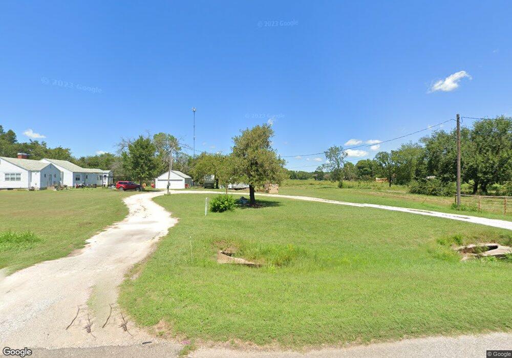
45302 Highway 3 Shawnee, OK 74801
Estimated Value: $174,000 - $244,000
3
Beds
2
Baths
1,989
Sq Ft
$105/Sq Ft
Est. Value
About This Home
This home is located at 45302 Highway 3, Shawnee, OK 74801 and is currently estimated at $209,753, approximately $105 per square foot. 45302 Highway 3 is a home located in Pottawatomie County with nearby schools including South Rock Creek Public School.
Ownership History
Date
Name
Owned For
Owner Type
Purchase Details
Closed on
Sep 24, 2020
Sold by
Elmore Jamie Lee
Bought by
Eads Holdings Llc
Current Estimated Value
Home Financials for this Owner
Home Financials are based on the most recent Mortgage that was taken out on this home.
Original Mortgage
$67,150
Interest Rate
2.9%
Mortgage Type
Commercial
Purchase Details
Closed on
Sep 2, 2014
Sold by
Harder Kenneth W
Bought by
Elmore Jamie Lee
Purchase Details
Closed on
Jul 6, 2011
Sold by
Harder Ruby Mae and Harder Kenneth W
Bought by
Harder Kenneth W
Purchase Details
Closed on
Oct 30, 1992
Sold by
Harder Ruby and Harder Kenneth
Bought by
Harder Ruby and Harder Kenneth
Create a Home Valuation Report for This Property
The Home Valuation Report is an in-depth analysis detailing your home's value as well as a comparison with similar homes in the area
Home Values in the Area
Average Home Value in this Area
Purchase History
| Date | Buyer | Sale Price | Title Company |
|---|---|---|---|
| Eads Holdings Llc | $79,000 | First American Title Ins Co | |
| Elmore Jamie Lee | $85,000 | -- | |
| Harder Kenneth W | -- | None Available | |
| Harder Ruby | -- | -- |
Source: Public Records
Mortgage History
| Date | Status | Borrower | Loan Amount |
|---|---|---|---|
| Closed | Eads Holdings Llc | $67,150 |
Source: Public Records
Tax History Compared to Growth
Tax History
| Year | Tax Paid | Tax Assessment Tax Assessment Total Assessment is a certain percentage of the fair market value that is determined by local assessors to be the total taxable value of land and additions on the property. | Land | Improvement |
|---|---|---|---|---|
| 2025 | $1,590 | $21,168 | $2,118 | $19,050 |
| 2024 | $1,774 | $20,160 | $2,118 | $18,042 |
| 2023 | $1,774 | $19,200 | $2,118 | $17,082 |
| 2022 | $885 | $9,666 | $2,118 | $7,548 |
| 2021 | $748 | $9,480 | $2,118 | $7,362 |
| 2020 | $1,106 | $11,335 | $2,118 | $9,217 |
| 2019 | $998 | $11,212 | $2,118 | $9,094 |
| 2018 | $989 | $10,886 | $2,118 | $8,768 |
| 2017 | $952 | $10,569 | $2,118 | $8,451 |
| 2016 | $888 | $10,506 | $2,047 | $8,459 |
| 2015 | $882 | $10,200 | $1,615 | $8,585 |
| 2014 | $504 | $5,250 | $1,615 | $3,635 |
Source: Public Records
Map
Nearby Homes
- 4 Hillcrest Dr
- 15809 S Rock Creek Rd
- 000 E Highland St
- 16504 Kings Rd
- 16710 Kings Rd
- 15709 Crosslin Rd
- 17701 S Rock Creek Rd
- 1217 Inverness Cir
- 601 Pool Ln
- 607 Pool Place
- 1213 Muirfield Dr
- 45210 Hardesty Rd
- 2500 E Highland St
- 1 Country Club Rd
- 45201 Hardesty Rd
- 301 Clubhouse Dr
- 9 Country Club Rd
- 1609 Cedar Bend Ct
- 0 Oak Grove Ct
- 42 Pam Dr