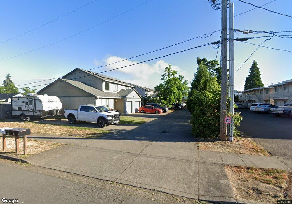
4548 Aster St Springfield, OR 97478
East Springfield NeighborhoodEstimated Value: $442,975 - $553,000
6
Beds
4
Baths
2,320
Sq Ft
$216/Sq Ft
Est. Value
About This Home
This home is located at 4548 Aster St, Springfield, OR 97478 and is currently estimated at $500,994, approximately $215 per square foot. 4548 Aster St is a home located in Lane County with nearby schools including Mt. Vernon Elementary School, Agnes Stewart Middle School, and Springfield High School.
Ownership History
Date
Name
Owned For
Owner Type
Purchase Details
Closed on
Jun 2, 2014
Sold by
Doocy Lawrence and Doocy Audrey
Bought by
Doocy Lawrence and Revoc Doocy 2006 Revoc
Current Estimated Value
Purchase Details
Closed on
Aug 19, 2005
Sold by
Rakoczy/Welker Enterprises Inc
Bought by
Doocy Lawrence and Doocy Audrey
Home Financials for this Owner
Home Financials are based on the most recent Mortgage that was taken out on this home.
Original Mortgage
$207,680
Outstanding Balance
$117,622
Interest Rate
7%
Mortgage Type
Fannie Mae Freddie Mac
Estimated Equity
$383,372
Create a Home Valuation Report for This Property
The Home Valuation Report is an in-depth analysis detailing your home's value as well as a comparison with similar homes in the area
Home Values in the Area
Average Home Value in this Area
Purchase History
| Date | Buyer | Sale Price | Title Company |
|---|---|---|---|
| Doocy Lawrence | -- | None Available | |
| Doocy Lawrence | $259,600 | Evergreen Land Title Co |
Source: Public Records
Mortgage History
| Date | Status | Borrower | Loan Amount |
|---|---|---|---|
| Open | Doocy Lawrence | $207,680 |
Source: Public Records
Tax History
| Year | Tax Paid | Tax Assessment Tax Assessment Total Assessment is a certain percentage of the fair market value that is determined by local assessors to be the total taxable value of land and additions on the property. | Land | Improvement |
|---|---|---|---|---|
| 2025 | $4,278 | $233,301 | -- | -- |
| 2024 | $4,209 | $226,506 | -- | -- |
| 2023 | $4,209 | $219,909 | $0 | $0 |
| 2022 | $3,898 | $213,504 | $0 | $0 |
| 2021 | $3,828 | $207,286 | $0 | $0 |
| 2020 | $3,716 | $201,249 | $0 | $0 |
| 2019 | $3,605 | $195,388 | $0 | $0 |
| 2018 | $3,398 | $184,173 | $0 | $0 |
| 2017 | $3,267 | $184,173 | $0 | $0 |
| 2016 | $3,199 | $178,809 | $0 | $0 |
| 2015 | $3,108 | $173,601 | $0 | $0 |
| 2014 | $3,061 | $168,545 | $0 | $0 |
Source: Public Records
Map
Nearby Homes
- 557 S 44th St
- 4475 Daisy St Unit 87
- 4475 Daisy St
- 4733 Union Terrace
- 4680 Glacier Meadows Loop
- 741 S 47th St
- 4667 Hailey Ct
- 4608 Holly St
- 4131 Forsythia St
- 934 S 46th St
- 875 S 43rd St
- 4452 Jessica Dr
- 0 N St
- 422 S 49th Place
- 4908 Holly St
- 4942 Holly St
- 4005 S F St
- 266 40th St
- 432 40th St
- 345 S 38th St
Your Personal Tour Guide
Ask me questions while you tour the home.