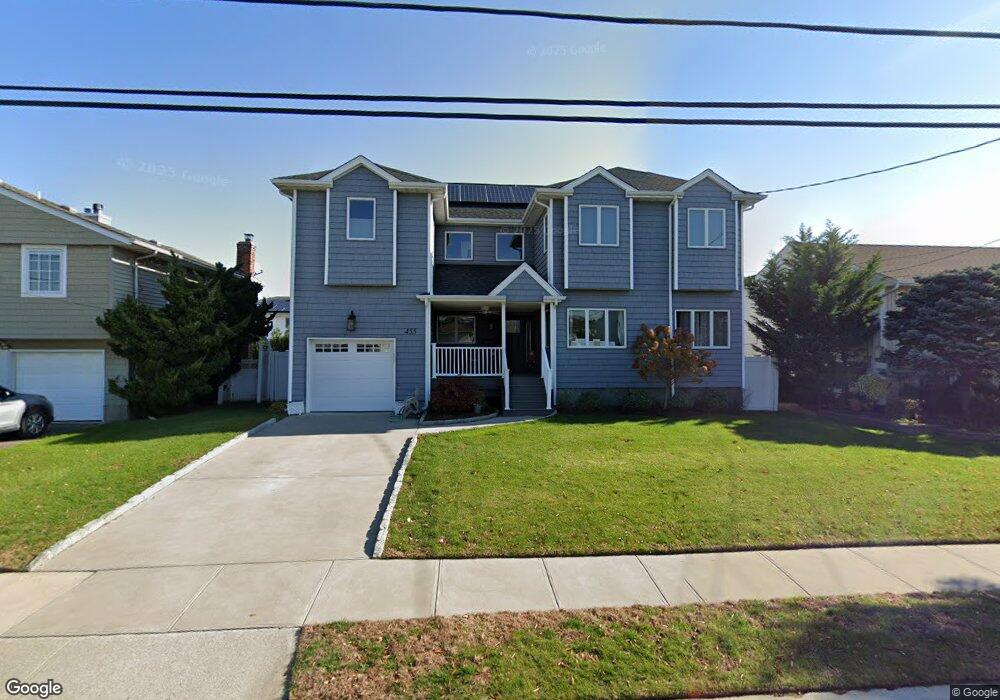
455 Bunker Dr Oceanside, NY 11572
Estimated Value: $934,077 - $1,240,000
Studio
2
Baths
3,067
Sq Ft
$354/Sq Ft
Est. Value
About This Home
This home is located at 455 Bunker Dr, Oceanside, NY 11572 and is currently estimated at $1,087,039, approximately $354 per square foot. 455 Bunker Dr is a home located in Nassau County with nearby schools including Boardman Elementary School, Oceanside Middle School, and Oceanside High School.
Ownership History
Date
Name
Owned For
Owner Type
Purchase Details
Closed on
Jun 25, 2010
Sold by
Comet Scott N
Bought by
Shiflet Lance and Reedstrom Leah
Current Estimated Value
Home Financials for this Owner
Home Financials are based on the most recent Mortgage that was taken out on this home.
Original Mortgage
$459,560
Outstanding Balance
$313,365
Interest Rate
5.25%
Mortgage Type
FHA
Estimated Equity
$773,674
Purchase Details
Closed on
Dec 12, 1997
Sold by
Trust - Press Morton R
Bought by
Comet Scott N
Create a Home Valuation Report for This Property
The Home Valuation Report is an in-depth analysis detailing your home's value as well as a comparison with similar homes in the area
Home Values in the Area
Average Home Value in this Area
Purchase History
| Date | Buyer | Sale Price | Title Company |
|---|---|---|---|
| Shiflet Lance | $465,750 | -- | |
| Comet Scott N | $205,000 | -- |
Source: Public Records
Mortgage History
| Date | Status | Borrower | Loan Amount |
|---|---|---|---|
| Open | Shiflet Lance | $459,560 |
Source: Public Records
Tax History
| Year | Tax Paid | Tax Assessment Tax Assessment Total Assessment is a certain percentage of the fair market value that is determined by local assessors to be the total taxable value of land and additions on the property. | Land | Improvement |
|---|---|---|---|---|
| 2025 | $13,559 | $639 | $285 | $354 |
| 2024 | $3,957 | $670 | $299 | $371 |
Source: Public Records
Map
Nearby Homes
- 512 Links Dr E
- 487 Links Dr E
- 348 Links Dr E
- 3461 Ocean Ave
- 3452 Ocean Ave
- 3391 Fairway Rd
- 313 Jordan St
- 163 Mott St
- 3309 Skillman Ave
- 3432 Bayfield Blvd
- 24 Strangford Ct
- 3309 Balsam St
- 3522 Frederick St
- 3483 Frederick St
- 3354 Knight St
- 3186 Grand Ave
- 689 Allwyn St
- 739 Bonnie Dr
- 3487 Anchor Place
- 3066 Ann St
Your Personal Tour Guide
Ask me questions while you tour the home.