4552 Platt Dr NW Bemidji, MN 56601
Estimated Value: $270,000 - $397,000
4
Beds
3
Baths
2,112
Sq Ft
$151/Sq Ft
Est. Value
About This Home
This home is located at 4552 Platt Dr NW, Bemidji, MN 56601 and is currently estimated at $319,397, approximately $151 per square foot. 4552 Platt Dr NW is a home located in Beltrami County with nearby schools including Central Elementary School, Bemidji Middle School, and Bemidji Senior High School.
Ownership History
Date
Name
Owned For
Owner Type
Purchase Details
Closed on
Jul 2, 2010
Sold by
Federal National Mortgage Association
Bought by
Feda Kevin M
Current Estimated Value
Home Financials for this Owner
Home Financials are based on the most recent Mortgage that was taken out on this home.
Original Mortgage
$135,500
Outstanding Balance
$89,917
Interest Rate
4.77%
Mortgage Type
VA
Estimated Equity
$229,480
Purchase Details
Closed on
Mar 31, 2010
Sold by
First National Bank Of Deerwood
Bought by
Federal National Mortgage Association
Purchase Details
Closed on
May 26, 2009
Sold by
Wilcox Mark H
Bought by
First National Bank Of Deerwood
Create a Home Valuation Report for This Property
The Home Valuation Report is an in-depth analysis detailing your home's value as well as a comparison with similar homes in the area
Home Values in the Area
Average Home Value in this Area
Purchase History
| Date | Buyer | Sale Price | Title Company |
|---|---|---|---|
| Feda Kevin M | -- | Sathre Title | |
| Federal National Mortgage Association | -- | None Available | |
| First National Bank Of Deerwood | $178,748 | None Available |
Source: Public Records
Mortgage History
| Date | Status | Borrower | Loan Amount |
|---|---|---|---|
| Open | Feda Kevin M | $135,500 |
Source: Public Records
Tax History Compared to Growth
Tax History
| Year | Tax Paid | Tax Assessment Tax Assessment Total Assessment is a certain percentage of the fair market value that is determined by local assessors to be the total taxable value of land and additions on the property. | Land | Improvement |
|---|---|---|---|---|
| 2025 | $186 | $279,900 | $53,100 | $226,800 |
| 2024 | $181 | $231,100 | $32,500 | $198,600 |
| 2023 | $181 | $231,100 | $32,500 | $198,600 |
| 2022 | $172 | $209,700 | $32,500 | $177,200 |
| 2021 | $162 | $167,600 | $25,200 | $142,400 |
| 2019 | $142 | $167,600 | $25,200 | $142,400 |
| 2018 | $142 | $157,500 | $25,000 | $132,500 |
| 2016 | $142 | $147,000 | $24,400 | $122,600 |
| 2015 | $131 | $142,300 | $0 | $0 |
| 2014 | $131 | $142,300 | $0 | $0 |
| 2011 | $130 | $148,900 | $0 | $0 |
Source: Public Records
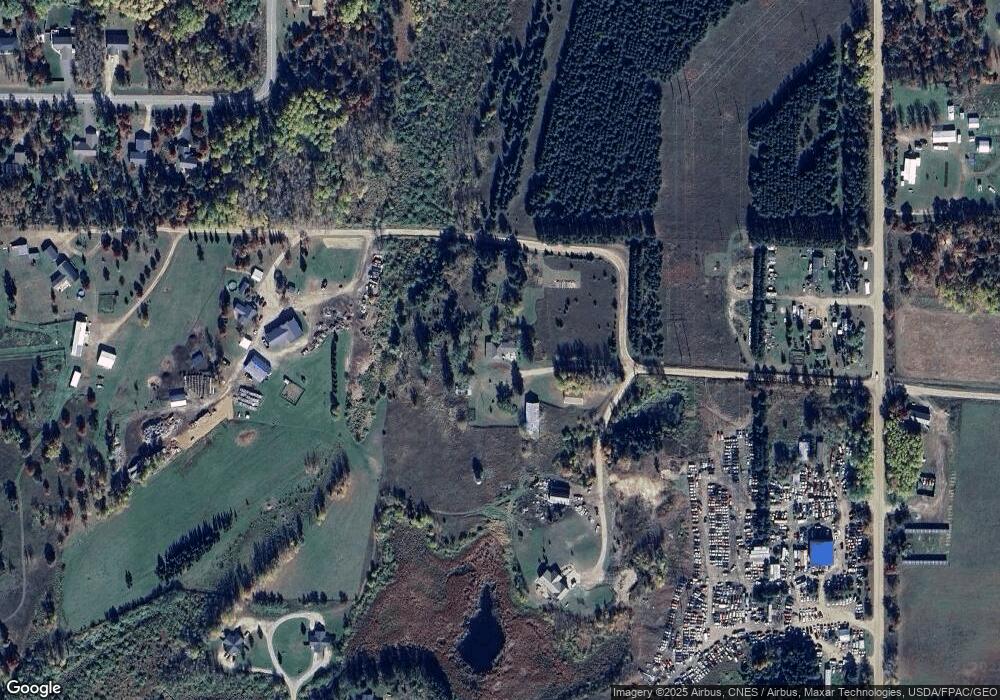
Map
Nearby Homes
- 1387 Averi Cir NW
- 1439 Averi Cir NW
- 510 Old Willow Ct NW
- 241 Swedmark Dr SW
- TBD Mikes Rd SW
- Lot 14 Country Field Ln SW
- 3790 Country Field Ln SW
- TBD (L9,B2) Goldfinch Ln SW
- TBD (L11,B2) Grant Hills Rd SW
- TBD U S Highway 71
- 2384 15th St NW
- TBD Cardinal Rd NW
- 2012 Monarch Dr SW
- TBD Norris Ct NW
- 675 Mag Seven Ct SW
- L1/2 B1 Mag Seven Ct SW
- L3B3 Mag Seven Ct SW
- 2157 Oak Ridge Rd SW
- 2215 Deep Rock Loop SW
- 2224 Deep Rock Loop SW Unit 23
- 4842 Platt Dr NW
- 4538 Platt Dr NW
- 16 Pine Valley
- 4790 Platt Dr NW
- 749 Schroeder Rd NW
- 611 Schroeder Rd NW
- 5772 Annalee Ln NW
- 5698 Annalee Ln NW
- 1283 Schroeder Rd NW
- TBD Schroeder Rd NW
- 4949 Platt Dr NW
- 5790 Annalee Ln NW
- 870 Schroeder Rd NW
- 5820 Annalee Ln NW
- 610 Schroeder Rd NW
- 5809 Annalee Ln NW
- 5831 Annalee Ln NW
- 5836 Annalee Ln NW
- 5641 Midvalley Ln NW
- 5641 5641 Mid Valley Ln