45569 Roxbury Dr Laporte, MN 56461
Estimated Value: $305,000 - $391,000
3
Beds
2
Baths
1,318
Sq Ft
$253/Sq Ft
Est. Value
About This Home
This home is located at 45569 Roxbury Dr, Laporte, MN 56461 and is currently estimated at $333,847, approximately $253 per square foot. 45569 Roxbury Dr is a home located in Hubbard County with nearby schools including Horace May Elementary School, Bemidji Middle School, and Bemidji Senior High School.
Ownership History
Date
Name
Owned For
Owner Type
Purchase Details
Closed on
May 1, 2007
Sold by
Diekmann Michael S
Bought by
Karels Jeffry L and Karels Darlene M
Current Estimated Value
Home Financials for this Owner
Home Financials are based on the most recent Mortgage that was taken out on this home.
Original Mortgage
$159,900
Outstanding Balance
$97,421
Interest Rate
6.2%
Mortgage Type
New Conventional
Estimated Equity
$236,426
Purchase Details
Closed on
Aug 10, 2006
Sold by
Venture One Investment Llc
Bought by
Diekmann Michael S
Create a Home Valuation Report for This Property
The Home Valuation Report is an in-depth analysis detailing your home's value as well as a comparison with similar homes in the area
Home Values in the Area
Average Home Value in this Area
Purchase History
| Date | Buyer | Sale Price | Title Company |
|---|---|---|---|
| Karels Jeffry L | $159,900 | Complete Title Services Llc | |
| Diekmann Michael S | $17,000 | Leer Title Services |
Source: Public Records
Mortgage History
| Date | Status | Borrower | Loan Amount |
|---|---|---|---|
| Open | Karels Jeffry L | $159,900 |
Source: Public Records
Tax History Compared to Growth
Tax History
| Year | Tax Paid | Tax Assessment Tax Assessment Total Assessment is a certain percentage of the fair market value that is determined by local assessors to be the total taxable value of land and additions on the property. | Land | Improvement |
|---|---|---|---|---|
| 2024 | $1,994 | $285,300 | $43,600 | $241,700 |
| 2023 | $2,210 | $302,900 | $35,900 | $267,000 |
| 2022 | $1,690 | $271,500 | $31,700 | $239,800 |
| 2021 | $1,866 | $199,400 | $28,100 | $171,300 |
| 2020 | $1,700 | $191,000 | $25,631 | $165,369 |
| 2019 | $1,716 | $166,000 | $24,210 | $141,790 |
| 2018 | $1,686 | $154,700 | $20,469 | $134,231 |
| 2016 | $1,404 | $152,200 | $17,339 | $134,861 |
| 2015 | $1,246 | $131,100 | $18,850 | $112,250 |
| 2014 | $1,046 | $117,500 | $19,114 | $98,386 |
Source: Public Records
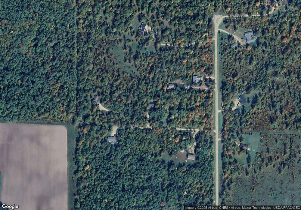
Map
Nearby Homes
- 47320 Us 71
- 46441 255th Ave
- 25629 Smokey Hollow Dr
- 24896 County 9
- 46962 parcel B 269th Ave
- 47225 269th Ave
- 44272 Rail Rd
- 28816 450th St
- Tbd 279th Ave
- 50743 Us 71
- 50836 Vinewood Rd
- TBD 279th Ave
- 50532 County 29
- 28682 480th St
- 44915 Schoolcraft Trail
- 20266 Windhill Dr
- 411 N Plantagenet Rd SW
- 24651 Beltrami Line Rd
- TBD N Plantangenet Rd SE
- 144 Margos Way SW
- 45665 Roxbury Dr
- TBD Tract R Roxbury Dr
- 0 Tract R Roxbury Dr
- 45571 Roxbury Dr
- 45565 Roxbury Dr
- 45600 Roxbury Dr
- 45600 Roxbury Dr
- 45542 Roxbury Dr
- 45377 Roxbury Dr
- 45760 Roxbury Dr
- 0 Roxbury Dr Unit 5584514
- Tract R Roxbury Dr
- 0 Roxbury Dr
- TBD Roxbury Dr
- TBD Roxbury Dr
- Tract J Roxbury Dr
- Tract H Roxbury Dr
- 45778 Roxbury Dr
- 45316 Roxbury Dr
- 23210 County 118