456 Bret Harte Rd San Rafael, CA 94901
Picnic Valley NeighborhoodEstimated Value: $1,603,000 - $2,239,577
4
Beds
5
Baths
4,332
Sq Ft
$433/Sq Ft
Est. Value
About This Home
This home is located at 456 Bret Harte Rd, San Rafael, CA 94901 and is currently estimated at $1,873,894, approximately $432 per square foot. 456 Bret Harte Rd is a home located in Marin County with nearby schools including Laurel Dell Elementary School, James B. Davidson Middle School, and San Rafael High School.
Ownership History
Date
Name
Owned For
Owner Type
Purchase Details
Closed on
Jun 29, 2005
Sold by
Henry Howard E and Henry Doris L
Bought by
Wiley Robert and Henthorne Thomas
Current Estimated Value
Home Financials for this Owner
Home Financials are based on the most recent Mortgage that was taken out on this home.
Original Mortgage
$500,000
Outstanding Balance
$258,472
Interest Rate
5.51%
Mortgage Type
Unknown
Estimated Equity
$1,615,422
Create a Home Valuation Report for This Property
The Home Valuation Report is an in-depth analysis detailing your home's value as well as a comparison with similar homes in the area
Home Values in the Area
Average Home Value in this Area
Purchase History
| Date | Buyer | Sale Price | Title Company |
|---|---|---|---|
| Wiley Robert | $1,000,000 | -- |
Source: Public Records
Mortgage History
| Date | Status | Borrower | Loan Amount |
|---|---|---|---|
| Open | Wiley Robert | $500,000 |
Source: Public Records
Tax History Compared to Growth
Tax History
| Year | Tax Paid | Tax Assessment Tax Assessment Total Assessment is a certain percentage of the fair market value that is determined by local assessors to be the total taxable value of land and additions on the property. | Land | Improvement |
|---|---|---|---|---|
| 2025 | $19,092 | $1,514,728 | $863,601 | $651,127 |
| 2024 | $19,092 | $1,485,031 | $846,669 | $638,362 |
| 2023 | $19,025 | $1,455,922 | $830,074 | $625,848 |
| 2022 | $17,904 | $1,427,377 | $813,799 | $613,578 |
| 2021 | $17,600 | $1,399,400 | $797,848 | $601,552 |
| 2020 | $17,447 | $1,385,054 | $789,670 | $595,384 |
| 2019 | $16,651 | $1,357,908 | $774,192 | $583,716 |
| 2018 | $16,481 | $1,331,292 | $759,018 | $572,274 |
| 2017 | $15,802 | $1,305,198 | $744,141 | $561,057 |
| 2016 | $15,294 | $1,279,615 | $729,555 | $550,060 |
| 2015 | $14,614 | $1,260,401 | $718,601 | $541,800 |
| 2014 | $13,908 | $1,223,215 | $704,527 | $518,688 |
Source: Public Records
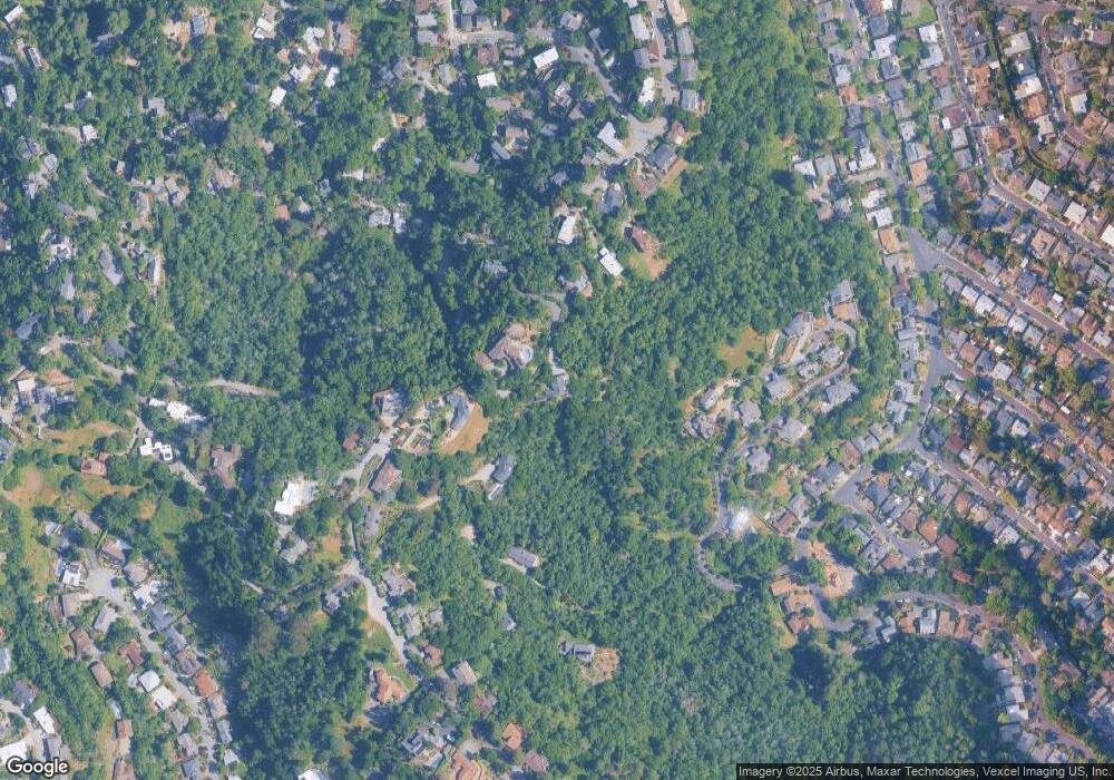
Map
Nearby Homes
- 452 Bret Harte Rd
- 466 Bret Harte Rd
- 1 Baldwin Ct
- 472 Bret Harte Rd
- 460 Bret Harte Rd
- 54 Baywood Terrace
- 32 Twain Harte Ln
- 470 Bret Harte Rd
- 50 Baywood Terrace
- 508 Bret Harte Rd
- 453 Bret Harte Rd
- 504 Bret Harte Rd
- 36 Twain Harte Ln
- 47 Baywood Terrace
- 34 Twain Harte Ln
- 503 Bret Harte Rd
- 512 Bret Harte Rd
- 108 Mccoy Rd
- 116 Mccoy Rd