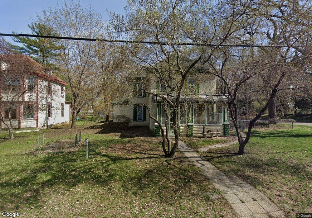
457 Independence Ave N Champlin, MN 55316
Estimated Value: $368,418 - $480,000
4
Beds
2
Baths
2,176
Sq Ft
$192/Sq Ft
Est. Value
About This Home
This home is located at 457 Independence Ave N, Champlin, MN 55316 and is currently estimated at $417,605, approximately $191 per square foot. 457 Independence Ave N is a home located in Hennepin County with nearby schools including Champlin-Brooklyn Park Academy, Jackson Middle School, and Champlin Park High School.
Ownership History
Date
Name
Owned For
Owner Type
Purchase Details
Closed on
Jul 29, 2016
Sold by
Galarneau Andrea K
Bought by
Holum Doughlas A and Watts Susan
Current Estimated Value
Home Financials for this Owner
Home Financials are based on the most recent Mortgage that was taken out on this home.
Original Mortgage
$186,400
Outstanding Balance
$148,725
Interest Rate
3.48%
Mortgage Type
New Conventional
Estimated Equity
$268,880
Create a Home Valuation Report for This Property
The Home Valuation Report is an in-depth analysis detailing your home's value as well as a comparison with similar homes in the area
Home Values in the Area
Average Home Value in this Area
Purchase History
| Date | Buyer | Sale Price | Title Company |
|---|---|---|---|
| Holum Doughlas A | $233,000 | Titlesmart Inc |
Source: Public Records
Mortgage History
| Date | Status | Borrower | Loan Amount |
|---|---|---|---|
| Open | Holum Doughlas A | $186,400 |
Source: Public Records
Tax History
| Year | Tax Paid | Tax Assessment Tax Assessment Total Assessment is a certain percentage of the fair market value that is determined by local assessors to be the total taxable value of land and additions on the property. | Land | Improvement |
|---|---|---|---|---|
| 2024 | $3,738 | $326,600 | $87,000 | $239,600 |
| 2023 | $3,770 | $329,000 | $89,000 | $240,000 |
| 2022 | $3,153 | $309,000 | $78,000 | $231,000 |
| 2021 | $2,927 | $261,000 | $65,000 | $196,000 |
| 2020 | $2,804 | $243,000 | $56,000 | $187,000 |
| 2019 | $2,529 | $229,000 | $58,000 | $171,000 |
| 2018 | $2,533 | $206,000 | $49,000 | $157,000 |
| 2017 | $2,263 | $183,000 | $36,000 | $147,000 |
| 2016 | $2,307 | $180,000 | $42,000 | $138,000 |
| 2015 | $2,237 | $175,000 | $37,000 | $138,000 |
| 2014 | -- | $167,000 | $40,000 | $127,000 |
Source: Public Records
Map
Nearby Homes
- 453 Independence Ave N
- 13 Dean Ave E
- 563 Independence Ave N
- 456 Independence Ave N
- 21 Dean Ave E
- 14 Dean Ave E
- 14 Richardson Ave N
- 439 Independence Ave N
- 18 Richardson Ave N
- 22 Dean Ave E
- 452 Independence Ave N
- XXX Curtis Rd
- 564 Independence Ave N
- 438 Independence Ave N
- 671 Independence Ave N
- 200 Curtis Rd Unit 14
- 200 Curtis Rd
- 101 Sunset Dr W
- 18 Sunset Dr E
- 345 Independence Ave N
Your Personal Tour Guide
Ask me questions while you tour the home.