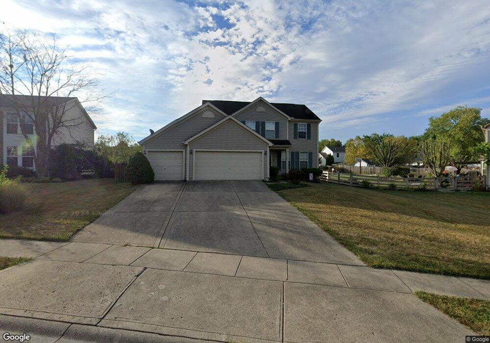
4572 Carnoustie Batavia, OH 45103
Estimated Value: $340,646 - $364,000
3
Beds
3
Baths
1,734
Sq Ft
$204/Sq Ft
Est. Value
About This Home
This home is located at 4572 Carnoustie, Batavia, OH 45103 and is currently estimated at $354,162, approximately $204 per square foot. 4572 Carnoustie is a home located in Clermont County with nearby schools including Willowville Elementary School, West Clermont Middle School, and West Clermont High School.
Ownership History
Date
Name
Owned For
Owner Type
Purchase Details
Closed on
Oct 17, 2001
Sold by
Kist Anthony W
Bought by
Welling Brian and Welling Robin
Current Estimated Value
Purchase Details
Closed on
Jan 6, 1998
Sold by
M/I Schottenstein Homes
Bought by
Kist Anthony W and Kist Sherry A
Home Financials for this Owner
Home Financials are based on the most recent Mortgage that was taken out on this home.
Original Mortgage
$138,850
Interest Rate
7.28%
Mortgage Type
New Conventional
Create a Home Valuation Report for This Property
The Home Valuation Report is an in-depth analysis detailing your home's value as well as a comparison with similar homes in the area
Home Values in the Area
Average Home Value in this Area
Purchase History
| Date | Buyer | Sale Price | Title Company |
|---|---|---|---|
| Welling Brian | $168,500 | -- | |
| Kist Anthony W | $154,325 | -- |
Source: Public Records
Mortgage History
| Date | Status | Borrower | Loan Amount |
|---|---|---|---|
| Previous Owner | Kist Anthony W | $138,850 | |
| Closed | Welling Brian | -- |
Source: Public Records
Tax History Compared to Growth
Tax History
| Year | Tax Paid | Tax Assessment Tax Assessment Total Assessment is a certain percentage of the fair market value that is determined by local assessors to be the total taxable value of land and additions on the property. | Land | Improvement |
|---|---|---|---|---|
| 2024 | $4,672 | $92,650 | $17,680 | $74,970 |
| 2023 | $4,679 | $92,650 | $17,680 | $74,970 |
| 2022 | $3,848 | $66,050 | $12,600 | $53,450 |
| 2021 | $3,865 | $66,050 | $12,600 | $53,450 |
| 2020 | $3,868 | $66,050 | $12,600 | $53,450 |
| 2019 | $2,956 | $59,010 | $11,970 | $47,040 |
| 2018 | $2,986 | $59,010 | $11,970 | $47,040 |
| 2017 | $2,894 | $59,010 | $11,970 | $47,040 |
| 2016 | $2,894 | $51,770 | $10,500 | $41,270 |
| 2015 | $2,810 | $51,770 | $10,500 | $41,270 |
| 2014 | $2,808 | $51,770 | $10,500 | $41,270 |
| 2013 | $2,877 | $52,470 | $11,200 | $41,270 |
Source: Public Records
Map
Nearby Homes
- 4571 Carnoustie
- 4576 Balmoral
- 4578 Balmoral
- 1278 McGuffey Ln
- 4579 Wood Forest Ln
- 1260 Timber Ridge Ct
- 4466 Eva Ln
- 4442 Meese Dr
- 4503 Eva Ln
- 1182 McGuffey Ln
- 4448 Springfield Ct
- 4420 Dogwood Dr
- 4690 Tealtown Rd
- 4449 Glendale Dr
- 4600 Olive Branch Stonelick Rd
- 1212 Saddletop Ridge
- 1364 Grandstand Ln
- 1256 Man o War Way
- 1397 Old St Rt 74
- 1262 Secretariat Ct
- 4572 Carnoustie McGuffey Lakes
- 4574 Carnoustie
- 1266 McGuffey Ln
- 4576 Carnoustie
- 1279 Kilbrannen
- 1281 Kilbrannen
- 1268 McGuffey Ln
- 1277 Kilbrannen
- 4573 Carnoustie
- 1283 Kilbrannen
- 1275 Kilbrannen
- 4578 Carnoustie
- 4575 Carnoustie
- 1285 Kilbrannen
- 4569 Balmoral
- 1265 McGuffey Ln
- 1267 McGuffey Ln
- 4580 Carnoustie
- 4577 Carnoustie
- 1271 Kilbrannen